Moorrinya National Park

Moorrinya National Park
IUCN Category II (National Park)
Map showing the location of Moorrinya National Park
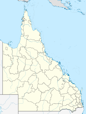
Coordinates 21°23′39″S 144°56′26″E / 21.39417°S 144.94056°E / -21.39417; 144.94056Coordinates: 21°23′39″S 144°56′26″E / 21.39417°S 144.94056°E / -21.39417; 144.94056
Area 326.07 km2 (125.90 sq mi)
Established 1993
Governing body Queensland Parks and Wildlife Service
Official website

Moorrinya is a national park in Queensland, Australia, 1,061 kilometres (659 mi) northwest of Brisbane.

See also

External links


Wikimedia Foundation. 2010.

Игры ⚽ Нужно сделать НИР?

Look at other dictionaries:

  • Barkly Tableland — Northern Territory Location of the Barkly Tablelands Population …   Wikipedia

  • Boodjamulla-Nationalpark — Boodjamulla National Park Lawn Hill Gorge im Park …   Deutsch Wikipedia

  • Main-Range-Nationalpark — Mount Mitchell (1168 m) nahe am Cunninghams Gap …   Deutsch Wikipedia

  • Lakefield-Nationalpark — Lakefield Nationalpark …   Deutsch Wikipedia

  • Simpson-Desert-Nationalpark — Simpson National Park …   Deutsch Wikipedia

  • Springbrook-Nationalpark — Springbrook Plateau links vom Numinbah Tal und dem Lamington Nationalpark …   Deutsch Wikipedia

  • Astrebla-Downs-Nationalpark — Der Kaninchennasenbeutler ist eine besonders gefährdete Tierart im Nationalpark …   Deutsch Wikipedia

  • Diamantina-Nationalpark — Diamantina Nationalpark …   Deutsch Wikipedia

  • Auburn-River-Nationalpark — Auburn River Nationalpark …   Deutsch Wikipedia

  • Bribie Island — Lage von Bribie Island in Australien Bribie Island ist eine große Sandinsel vor der Küste Australiens. Sie liegt etwa 70 Kilometer nördlich von Queenslands Hauptstadt Brisbane und bildet den nördlichen Abschluss der Moreton Bay. Bribie Island ist …   Deutsch Wikipedia

Share the article and excerpts

Direct link
Do a right-click on the link above
and select “Copy Link”