- Meir, Egypt
-
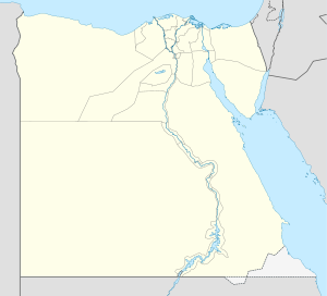
Meir Location in Egypt Coordinates: 27°27′N 30°45′E / 27.45°N 30.75°E Country  Egypt
EgyptGovernorate Asyut Time zone EST (UTC+2) - Summer (DST) +3 (UTC) Meir is a village in Upper Egypt. It is located on the west bank of the Nile, in the Asyut Governorate, some 7 kilometers west of el-Qusiya. The modern village is situated at coordinates 27°27′00″N 30°45′00″E / 27.45°N 30.75°E, while the necropolis is located at 27°25′00″N 30°43′00″E / 27.4166667°N 30.7166667°E.
Overview
Several ancient Egyptian tombs were discovered west of Meir, in a low slope leading on to the desert plateau. The most important of these rock-cut tombs belong to the men who were in charge of the 14th Upper Egyptian nome during the 6th and the 12th dynasties. For both these periods, the sequence of tombs is unbroken, and the hereditary office passed from one man to his son or younger brother. Most of the tombs were decorated in relief. Some of their scenes are astonishingly lively, such as the desert-hunt scene in tomb B.1 of Senbi, dating to the reign of Amenemhat I. In the latest of the tombs, that of Wekhhotep (tomb C.1), the walls were only painted.
In the past, Meir suffered much from illicit digging. One of the most prominent archeologists who worked there was Aylward M. Blackman.
Categories:- Populated places in Egypt
Wikimedia Foundation. 2010.

