- Dix Mountain Wilderness Area
-
Dix Mountain Wilderness Area 

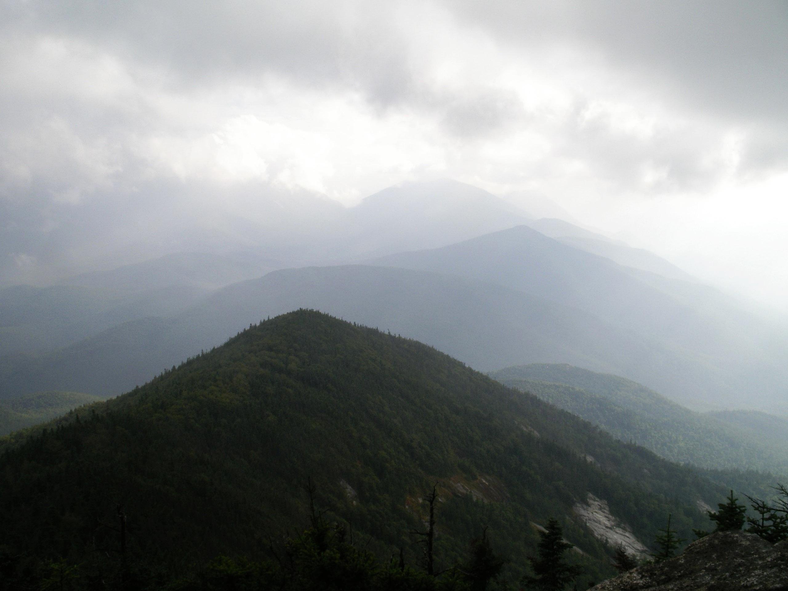
Location Adirondack Park New York USA Nearest city North River, NY Coordinates 44°3′38″N 73°46′9″W / 44.06056°N 73.76917°WCoordinates: 44°3′38″N 73°46′9″W / 44.06056°N 73.76917°W Area 45,208 acres (183 km2) Governing body New York State Department of Environmental Conservation  View of Dix Mountain Wilderness from the summit of Giant Mountain.
The Dix Mountain Wilderness Area, an Adirondack Park unit of New York's Forest Preserve, is located in the towns of Elizabethtown, Keene and North Hudson, Essex County. It is roughly bounded on the north by NY 73, on the east by the Adirondack Northway (Interstate 87), on the south by Blue Ridge Road and on the west by Elk Lake Club and Ausable Club lands.
Contents
Geography
The terrain is rough, rocky and mountainous, with several of the mountain tops exceeding 4,000 feet (1,220 m). The area contains 12 small ponds with a total surface area of about 92 acres (37 ha). Vertical cliffs of considerable height are common, particularly in the northern and eastern parts.
Some of the mountains, such as Dix, South Dix and Macomb, have had small landslides in recent years which occur mostly on the near vertical north slopes. This has left a series of prominent, bare rock scars on the upper slopes.
There are four trailless peaks in the area — South Dix, East Dix, Hough and McComb — that are over 4,000 feet in elevation. Many approach these mountains from a popular, unmaintained trail off NY 73 which provides access to a slide scramble up East Dix. From there, all the major peaks are connected by herd paths.
Forest
Some of the most severe and extensive forest fires of the Adirondacks occurred in this area during a prolonged drought period in 1903.[1] As a result, the tops and upper slopes of the mountains not only lost their forest cover but the humus was also consumed and the mineral soil eroded down to bare rock.
The present forest cover consists chiefly of pole-size yellow birch, aspen and stunted balsam at the higher elevations with mixed hardwoods and softwoods on the better soils at lower elevations.
Recreation
The area contains 36.5 miles (58.7 km) of maintained foot trails, 2 lean-tos. The area also has a significant number of popular but unmaintained trails; in fact, of the four high peaks within the area are only accessible by unmaintained trails. The area also includes Chapel Pond, a high mountain lake surrounded by cliffs that is a popular destination for rock climbing and ice climbing.
History
The Adirondack Trail Improvement Society, with headquarters at St. Huberts, maintains a system of foot trails in the northern and northwestern part of the area, with approval of the DEC. Their trails extend to such mountain tops as Round Top Mountain, Noonmark, Bear Den, Dial, Nippletop, Colvin, Blake and Pinnacle. The steep, rugged terrain, characteristic of nearly the whole area, has been responsible for the region's retaining a wilderness atmosphere. This, together with other accompanying features, lends itself well to the classification into which it has been placed.
The state, in 1978 and 1980, purchased in fee 9,311 acres (37.7 km2) from the Adirondack Mountain Reserve. Approximately 3,269 acres (13 km2) have become part of the Dix Mountain Wilderness as a result, including the following summits: Noonmark, Bear Den, Dial, Colvin, and Pinnacle. The state was given a conservation easement on the remaining Adirondack Mountain Reserve lands generally below 2,500 feet (760 m) in elevation, limiting the future development potential of these lands while permitting the public to cross lands still held in fee by the Club, on foot, to reach the peaks.
See also
Dogs are not allowed o the easment though dogs are allowed in the wilderness.
References
- ^ "Adirondack Park State Land Master Plan". Adirondack Park Agency. 1987, updated 2001. http://www.apa.state.ny.us/Documents/Laws_Regs/SlmpPDF2001.pdf. Retrieved 2008-05-08.
Categories:- IUCN Category Ib
- Wilderness Areas of New York
- Adirondack High Peaks
- Protected areas of Essex County, New York

Wikimedia Foundation. 2010.