- Back Allegheny Mountain
Geobox|Mountain
name = Back Allegheny Mountain
native_name =
other_name =
other_name1 =
topo_maker = USGS
topo_
topo1_
topo2_
range = Allegheny Mountains
parent =
category =
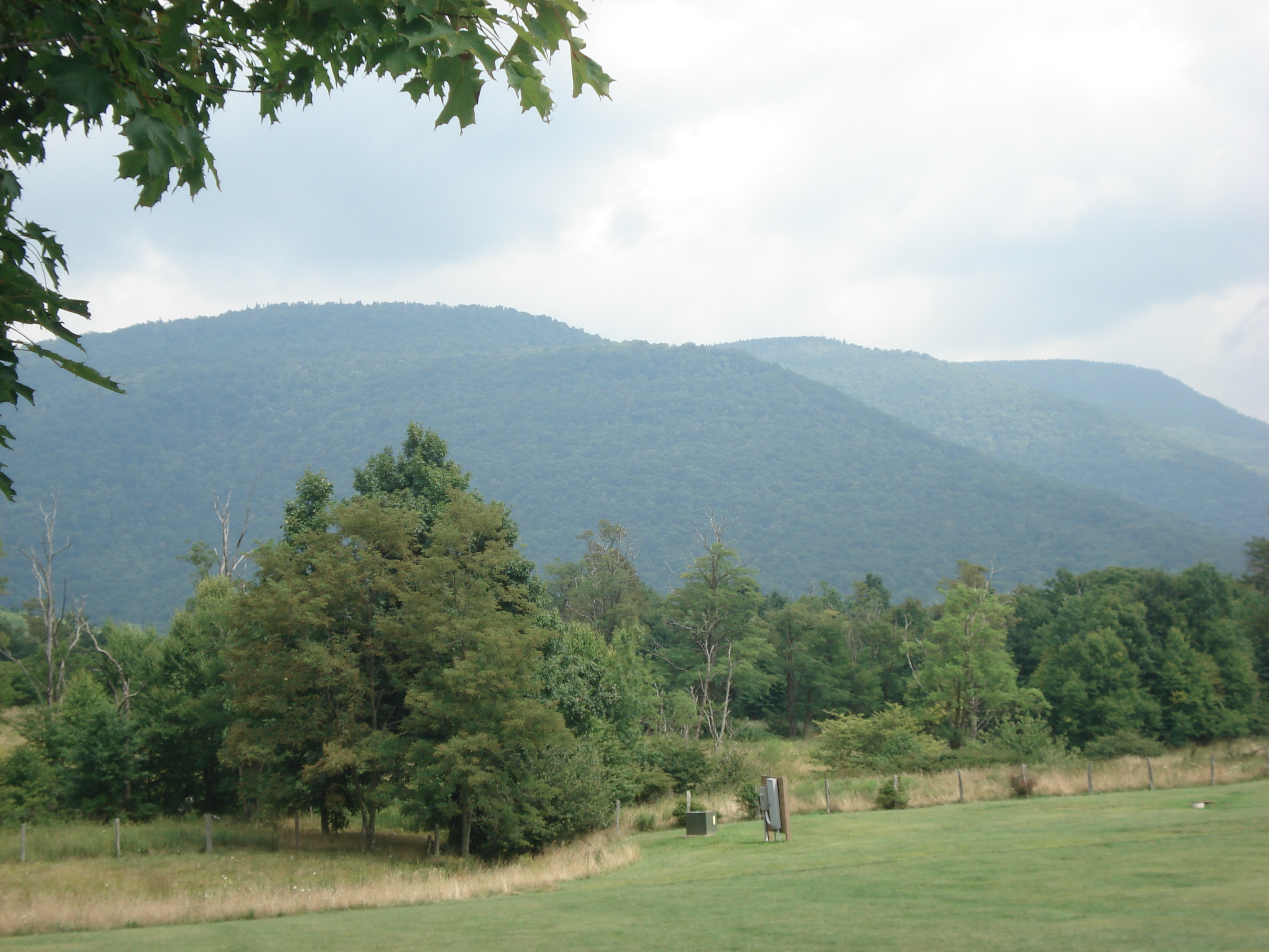
image_caption = View of Back Allegheny Mountain from Cass Railroad's Whittaker Station
etymology_type =
etymology =
country = United States
country_
state = West Virginia
state_
region_type = Counties
region = Pocahontas
region1 = Randolph
district_type =
district =
district1 =
district2 =
city =
city1 =
location = Pocahontas County, WV
lat_d = 38
lat_m = 29
lat_s = 30
lat_NS = N
long_d = 79
long_m = 54
long_s = 35
long_EW = W
elevation_imperial = 4757
elevation_round = 1
elevation_note = cite map | publisher =U.S. Geological Survey | title = Cass, West Virginia quadrangle | year = 1977 | scale = 1:24,000 | series = 7.5-Minute Series (Topographic) | isbn = 0-607-00799-0]
prominence_imperial = 537
prominence_note = cite web|url=http://www.peaklist.org/USlists/WV500.html|title=West Virginia Summits|publisher=PeakList.org|accessdate=2008-06-06]
area_unit = acre
area_imperial =
area_round = 1
area_note =
area1_imperial =
area1_type =
length_imperial =
length_orientation =
width_imperial =
width_orientation =
highest = Bald Knob
highest_location = Pocahontas County, WV
highest_lat_d = 38
highest_lat_m = 26
highest_lat_s = 52
highest_lat_NS = N
highest_long_d = 79
highest_long_m = 55
highest_long_s = 52
highest_long_EW = W
highest_elevation_imperial = 4842
highest_elevation_note = cite gnis|1553787|Bald Knob|2008-06-06]
lowest =
lowest_location =
lowest_lat_d =
lowest_lat_m =
lowest_lat_s =
lowest_lat_NS =
lowest_long_d =
lowest_long_m =
lowest_long_s =
lowest_long_EW =
lowest_elevation_imperial =
biome =
biome_share =
biome1 =
biome1_share =
geology =
geology1 =
plant =
plant1 =
animal =
animal1 =
access =
established_type =
established =
established_note =
established1_type =
established1 =
established1_note =
owner =
management =
management_lat_d =
management_lat_m =
management_lat_s =
management_lat_NS =
management_long_d =
management_long_m =
management_long_s =
management_long_EW =
management_elevation =
visitation =
visitation_year =
free_type = Nearest city
free_label = Nearest city
free = Durbin,West Virginia
free1_type =
free1 =

map_caption = Location of second-highest point on Back Allegheny Mountain in West Virginia
map_locator = West Virginia
map_first =
website =Back Allegheny Mountain is a long mountain ridge in eastern
West Virginia . It is part of theShavers Fork Mountain Complex in the Allegheny Range of theAppalachians .Geography
BAM runs convert|18|mi north to south and convert|8|mi east to west and covers a geographic area of convert|76|sqmi. It rises abruptly from the
Greenbrier River valley in Pocahontas County,West Virginia , and runs nearly parallel toCheat Mountain to its west. The mountain reaches its elevational climax of convert|4842|ft atBald Knob , convert|5|mi north of Snowshoe Ski Resort. The second highest point on the mountain is Hosterman Benchmark West at convert|4757|ft. Hosterman is approximately convert|3.3|mi north of Bald Knob.North of
U.S. Route 250 west of Durbin, the same structural fold that forms Back Allegheny Mountain continues north asShavers Mountain for an additional convert|35|mi.Preservation and recreation
Almost the entirety of Back Allegheny Mountain is protected by the
Monongahela National Forest . The summit of Bald Knob is owned by theWest Virginia Division of Natural Resources . Back Allegheny and other mountains in the area are known for their extensivered spruce forests, as well as other high altitude plants and animals. The whole of Back Allegheny is an environmentally-sensitive area.Bald Knob is the terminus of the convert|11|mi|adj=on long
Cass Scenic Railroad State Park . The railroad carries visitors to an elevation of convert|4700|ft approximately convert|0.25|mi north of the summit ridge. An overlook platform gives visitors a view of the Greenbrier Valley and, on clear days, a view all the way intoVirginia convert|12|mi away.Snowshoe Mountain Ski Resort is situated in the bowl shaped convergence of Back Allegheny withCheat Mountain at the head ofShavers Fork . This area is essentially the southern terminus of both mountains.See also
*
Bald Knob
*Shavers Fork Mountain Complex
*Cass Scenic Railroad State Park
*Cheat Mountain
*Leatherbark Run External links
* [http://www.peakbagger.com/range.aspx?rid=162254 Back Allegheny Mountain at Peakbagger.com]
* [http://www.peakbagger.com/peak.aspx?pid=7373 Bald Knob at Peakbagger.com]References


Wikimedia Foundation. 2010.