- Colorado State Highway 131
-
State Highway 131
Route information Maintained by CDOT Length: 68.7 mi[1] (110.6 km) Major junctions South end:  I-70 at Wolcott
North end:  US 40 near Steamboat Springs
Highway system ←  SH 128
SH 133  →
→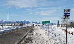 Highway 131 as it passes through Toponas, Colorado.
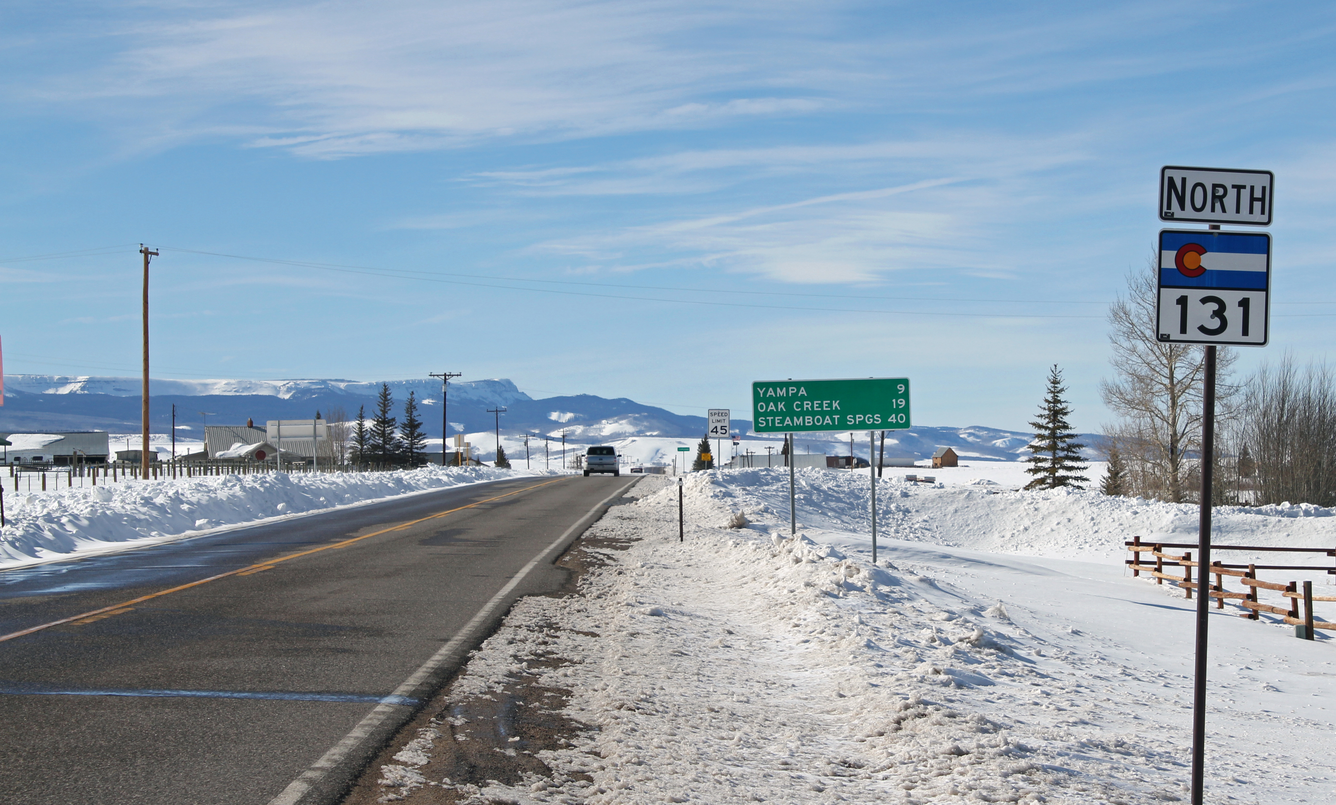
State Highway 131 is a north–south state highway that connects U.S. Highway 40 4 miles (6.4 km) east of Steamboat Springs to the north with Interstate 70 at Wolcott to the south. It is 68.7 mi (110.6 km) in length, and travels through the towns of State Bridge, Bond, McCoy, Toponas, Yampa, and Oak Creek.
History
The route was established in the 1920s, when it connected State Bridge to its current terminus at US 40. The route was then paved from its north end to Yampa by 1946. SH 11 (now moved) was deleted by 1954, giving the section from Wolcott to State Bridge to SH 131. The entire route was paved by 1970. SH 131 was then extended to I-70 in 1972.[2]
Major intersections
County Location Mile Destination Notes Eagle 0.00 I-70Interchange 0.32  US 6
US 6Begin concurrency, mileposts reset Wolcott 0.05 US 6End concurrency Routt Toponas 32.90  SH 134
68.72 US 40References
- ^ "Segment Descriptions for Highway 131". Colorado Department of Transportation. http://www.dot.state.co.us/app_DTD_DataAccess/Highways/index.cfm?fuseaction=Description&route=131&begRefPt=0&endRefPt=500&Printable=true. Retrieved 2008-05-14.
- ^ Salek, Matthew E.. "Colorado Routes 120-139". http://www.mesalek.com/colo/r120-139.html#131. Retrieved 2010-05-29.
Categories:

Wikimedia Foundation. 2010.