- Cerro Chirripó
-
Cerro Chirripó 
Elevation 3,820 m (12,533 ft) Prominence 3,727 m (12,228 ft) Ranked 38th Listing Country high point
UltraLocation Chirripó National Park, Costa Rica
 Cerro Chirripó
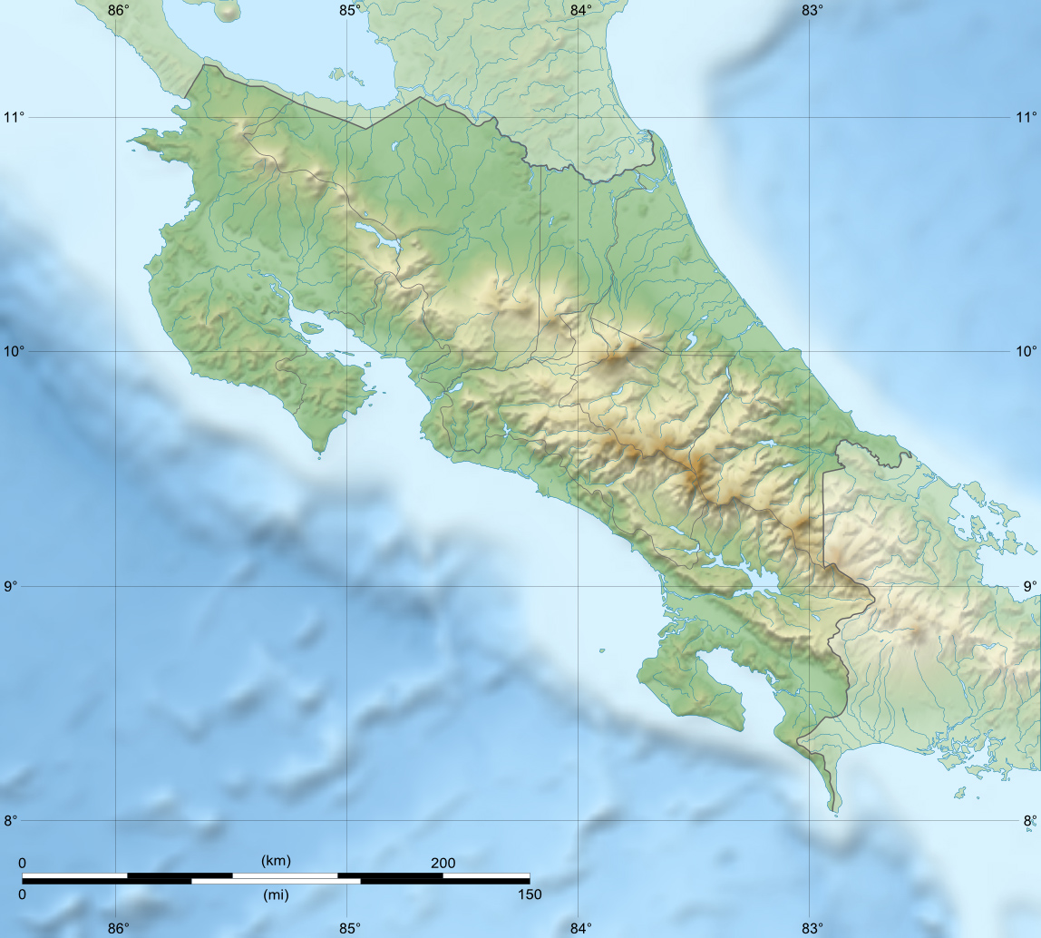
Coordinates 9°29′2.7″N 83°29′19.2″W / 9.484083°N 83.488667°WCoordinates: 9°29′2.7″N 83°29′19.2″W / 9.484083°N 83.488667°W Cerro Chirripó is the highest mountain in Costa Rica, with an altitude of 3,820 metres (12,533 ft). It is located in the Chirripó National Park and is noted for its ecological wealth. The high peaks in this and La Amistad International Park host important areas of Talamancan montane forest and Costa Rican Páramo with high endemism and an extremely high biodiversity. The peaks of these mountains, because of their height, constitute sky islands for many species of plants and animals. Occasionally, snow falls on the peaks.
The great height of Cerro Chirripó relative to its surroundings is also evidenced by its particularly high topographic prominence of 3,727 m (12,228 ft),[1] which makes it the 38th most prominent peak in the world.
From the summit it is possible on clear days to see all across the country from coast to coast, from the Pacific Ocean to the Caribbean Sea.[2]
Two forest fires have devastated the biodiversity of the region. One in 1976[3] and the other in the 1990s.[4]
Climbing Chirripó is possible by obtaining a permit from the National Park office in San Gerardo de Rivas. From the trailhead, the summit can be reached via a 19.5-kilometre (12.1 mi) hike.[5]
See also
References
- ^ "Central America ultra-prominent peaks". PeakList.org. http://www.PeakList.org/WWlists/ultras/CentAm.html. Retrieved 2007-04-07.
- ^ "Chirripó National Park". costa-rica-guide.com. http://costa-rica-guide.com/Natural/Chirripo.html. Retrieved 2010-02-10.
- ^ Harry Pariser. "First Fire". Explore Costa Rica. http://www.infocostarica.com/places/chirripo_hp.html. Retrieved 2010-02-10.
- ^ "Second Fire (Weak)". blog on wordpress.com. http://meghanjoyward.wordpress.com/2009/06/13/cerro-chirripo-12530-feet/. Retrieved 2010-02-10.
- ^ "notes on climbing Chirripo". peakbagging.com. http://www.peakbagging.com/Chirripo.html. Retrieved 2011-04-09.
External links
Categories:- Mountains of Costa Rica
- Costa Rica geography stubs

Wikimedia Foundation. 2010.