- Devínska Kobyla
-
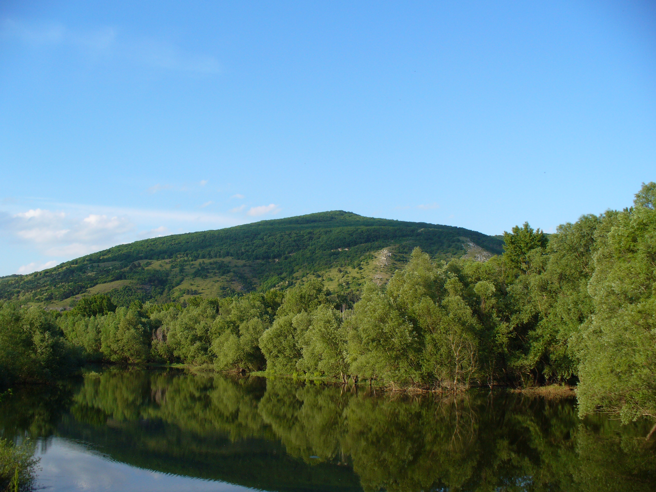
 Devínska Kobyla as seen from Devín.
Devínska Kobyla (German: Thebener Kogel) is a mountain in the Little Carpathians, within the territory of Bratislava, Slovakia, between the boroughs of Devínska Nová Ves, Devín and Dúbravka. At an altitude of 514 m (1686.3 ft) AMSL, it is the highest point of Bratislava. The area has been a national natural reserve since 1965. From the top, it is possible to see Bratislava, Austria, Hungary, the Danube and the Morava River.
This small territory contains 234 species of identified mushrooms, 110 species of identified lichens, 100 species of identified moss, and 1,110 species of identified plants. The southern and south-western slopes of this Slovakian hill and the western edge of Bratislava provide ideal living conditions for the thermophilous forest-steppe flora and fauna. The woods on the south-western slopes are the remains of the original oak forest.
There is a four kilometer long instructive path that leads through the Devínska Kobyla, with a fascinating place called the Sandberg. It is one of the most importants palaeonthologic localities in Slovakia. The yellow faces of the old sandpit has remnants of rocks of the Tertiary Sea with horizontally deposited layers, and there is still fossils of sea fauna to be found there. The age of these rocks is estimated to be between 14 to 16 million years old.
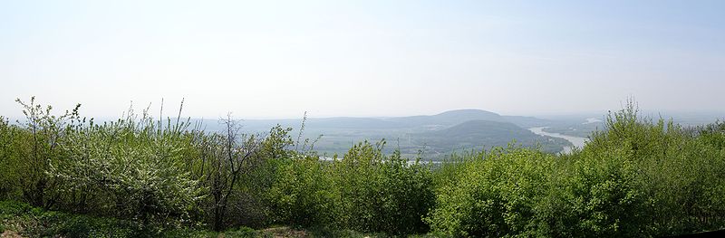
Panorama of Danube taken from Devinska Kobyla
External links
Coordinates: 48°11′26″N 16°59′45″E / 48.19056°N 16.99583°E
Categories:- Bratislava Region geography stubs
- Geography of Bratislava
- Mountains of Slovakia
- Mountains of the Western Carpathians

Wikimedia Foundation. 2010.