- Little Carpathians
-
Little Carpathians Range 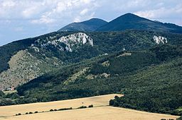 Little Carpathians near Plavecké Podhradie
Countries Slovakia, Austria Part of Western Carpathians Highest point Záruby - elevation 768 m (2,520 ft) - coordinates 48°31′25″N 17°23′33″E / 48.52361°N 17.3925°E 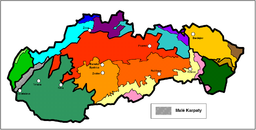 Little Carpathians within the geomorphological division of Slovakia
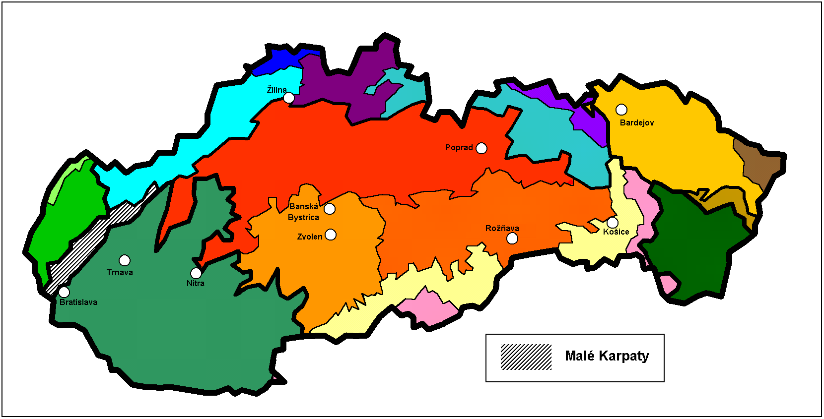
The Little Carpathians (also: Lesser Carpathians, Slovak: Malé Karpaty; German: Kleine Karpaten; Hungarian: Kis-Kárpátok) are a low, about 100 km long, mountain range, part of the Carpathian Mountains. The mountains are situated in Western Slovakia, covering the area from Bratislava to Nové Mesto nad Váhom, a very small part called Hundsheimer Berge (or Hainburger Berge) is situated south of Devín Gate in northeastern Austria. The Little Carpathians are bordered by Záhorie Lowland in the west and the Danubian Lowland in the east.
In 1976, the Little Carpathians were declared a protected area under the name Little Carpathians Protected Landscape Area, covering 646.1 km². The three highest mountains are Záruby at 768 m (2,519.7 ft), Vysoká at 754 m (2,473.8 ft) and Vápenná at 752 m (2,467.2 ft).
Division of the Little Carpathians (from south to north):
- Devín Carpathians (in Bratislava)
- Pezinok Carpathians (from Bratislava to Buková)
- Brezová Carpathians (from Buková to Prašník)
- Čachtice Carpathians (from Prašník to Nové Mesto nad Váhom)
The Little Carpathians are used for hiking, cycling, skiing and other winter sports.
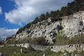
The southeastern part contains extensive vineyards (e.g. Bratislava, Rača, Pezinok, Modra). Several castles or castle ruins are situated in the Little Carpathians, for example Devín Castle, Čachtice Castle, Červený Kameň Castle, and Smolenice Castle. Driny, a limestone cave, is the only cave open to public.
External links
Images
-
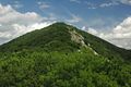
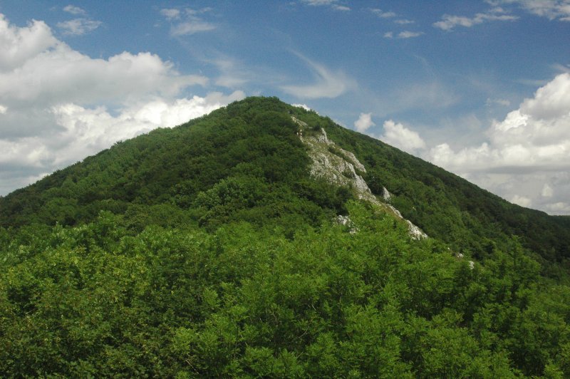
The highest mountain - Záruby
-
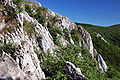
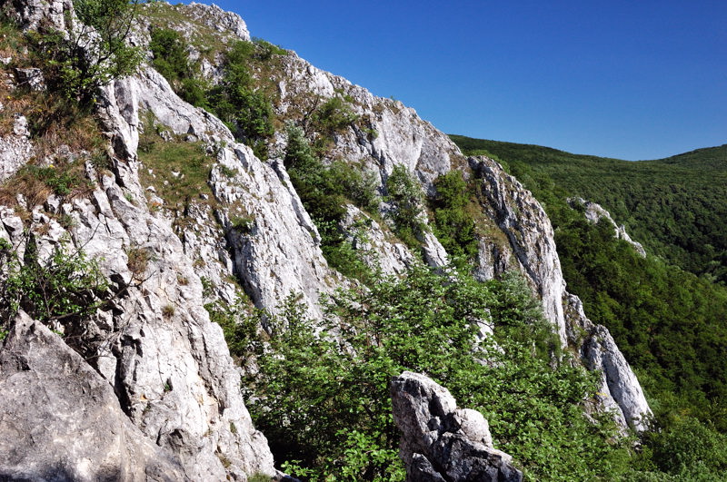
Kršlenica rocks
-
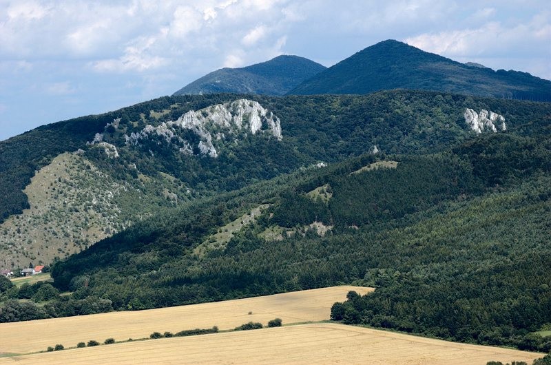
View from south
-

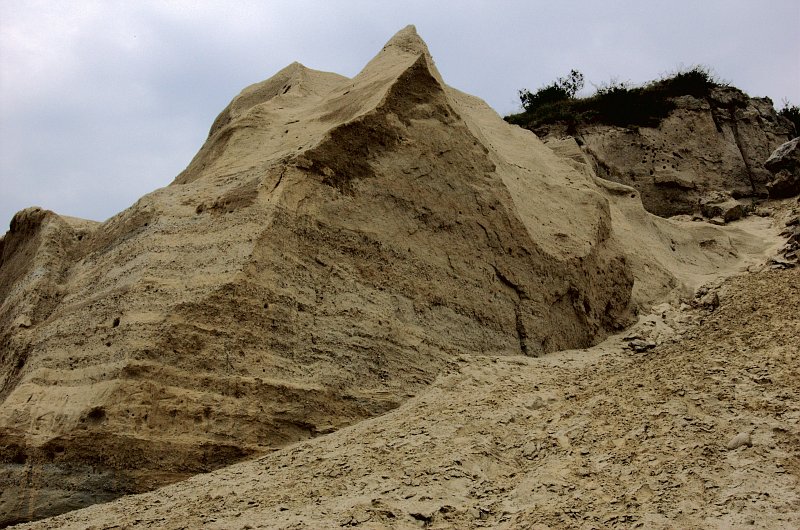
Sandstone rock Sandberg
-
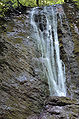
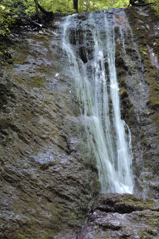
Hlboča waterfall
-
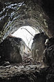
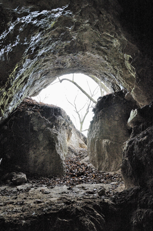
Cave Piesková
-
Cave Kabele
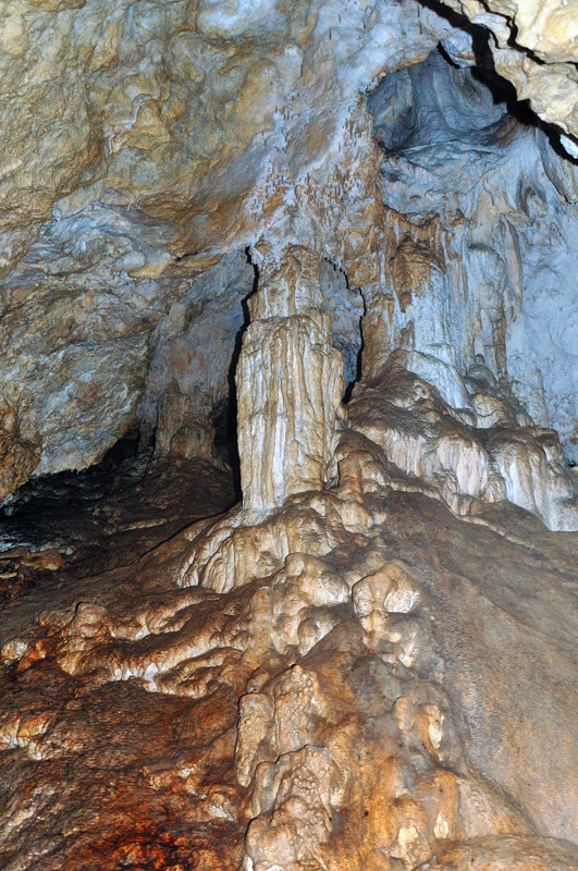
-
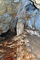
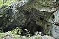
Speleothems in the cave PP1
Categories:- Mountain ranges of Slovakia
- Mountain ranges of the Western Carpathians
- Slovakia geography stubs


Wikimedia Foundation. 2010.