Croxdale

Croxdale
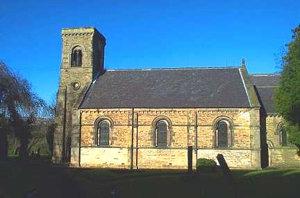
St Bartholomew's Church

Croxdale is a village in the civil parish of Croxdale and Hett, about 3 miles south of Durham City, in County Durham in England and on the A167 road, formerly part of the Great North Road.

It is the location of Croxdale Hall, a Grade I listed building

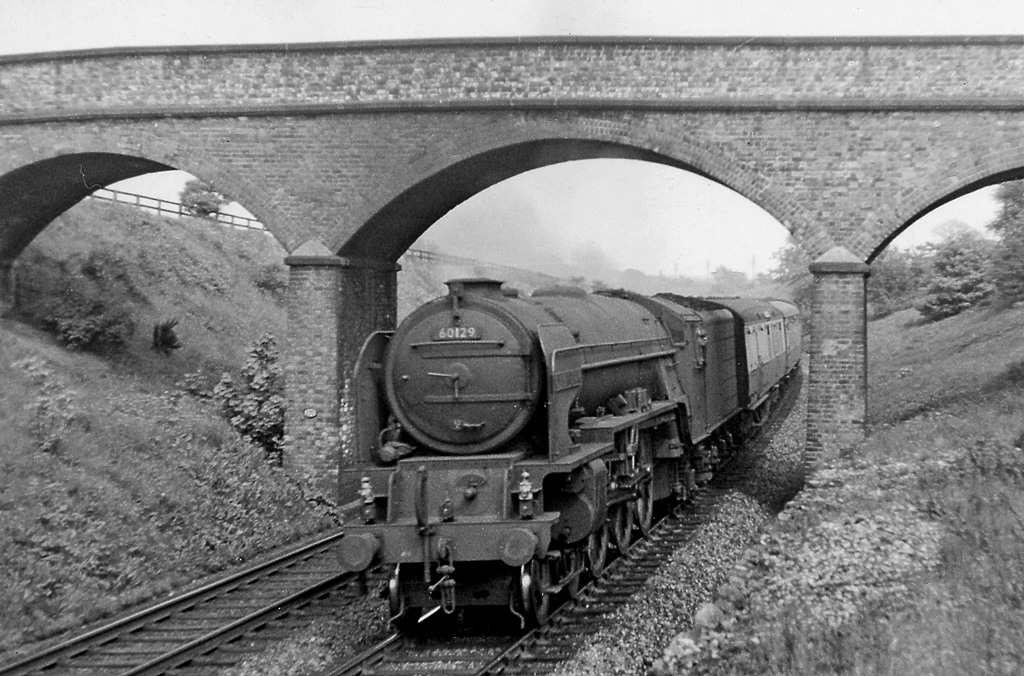
Until 1938 it had a railway station opened by the North Eastern Railway

External links

Media related to Croxdale at Wikimedia Commons

Coordinates: 54°43.7′N 1°34.9′W / 54.7283°N 1.5817°W / 54.7283; -1.5817


Wikimedia Foundation. 2010.

Игры ⚽ Поможем сделать НИР

Look at other dictionaries:

  • Croxdale and Hett — is a civil parish in County Durham, England. It is situated approximately four miles south of Durham. The parish comprises the settlements of: Croxdale Hett Sunderland Bridge For electoral purposes the parish is divided into two wards: Hett… …   Wikipedia

  • Croxdale Hall — The 12th century chapel at Croxdale Hall Croxdale Hall is a privately owned country mansion situated at Croxdale near Sunderland Bridge, County Durham. It is a Grade I listed building. The staunchly Roman Catholic Salvin family came to Croxdale… …   Wikipedia

  • Sunderland Bridge — Not to be confused with Wearmouth Bridge. Sunderland Bridge is a village in County Durham, England, about 3 miles south of Durham City. It lies close to the confluence of the River Wear and River Browney. The village is situated next to a bridge… …   Wikipedia

  • Leamside Line — Legend Tyne and Wear Metro …   Wikipedia

  • List of civil parishes in County Durham — This is a list of civil parishes in the non metropolitan county of County Durham, England, along with the non metropolitan districts of Darlington and Hartlepool, and Stockton on Tees (north of the river). = Chester le Street = The area of the… …   Wikipedia

  • List of crossings of the River Wear — This is a list of crossings of the River Wear, heading downstream, including road and rail bridges and fords.Wearhead to Stanhope* Wearhead Bridge (road) * West Blackdene Bridge (road, foot?) * Ireshopeburn Bridge (road?, foot?) * Coronation… …   Wikipedia

  • River Wear — Infobox River river name = River Wear image size = caption = The river flows past Durham Castle and Cathedral, beneath Framwellgate Bridge and over a weir. origin = Wearhead, County Durham mouth = Sunderland basin countries = length = 96 km (60… …   Wikipedia

  • List of Grade I listed buildings in Durham — There are over 6000 Grade I listed buildings in England. This page is a list of these buildings in the county of Durham, sub divided by district.Chester le Street* Biddick Hall, Bournmoor * Church of SS Mary Cuthbert, Church Chare * Lumley Castle …   Wikipedia

  • Hartlepool — Coordinates: 54°41′N 1°13′W / 54.69°N 1.21°W / 54.69; 1.21 …   Wikipedia

  • Newton Aycliffe — Coordinates: 54°37′N 1°35′W / 54.62°N 1.58°W / 54.62; 1.58 …   Wikipedia

Share the article and excerpts

Direct link
Do a right-click on the link above
and select “Copy Link”