- Aracataca
Infobox City
official_name = Aracataca
nickname = Cataca
motto =
imagesize =
image_caption =
image_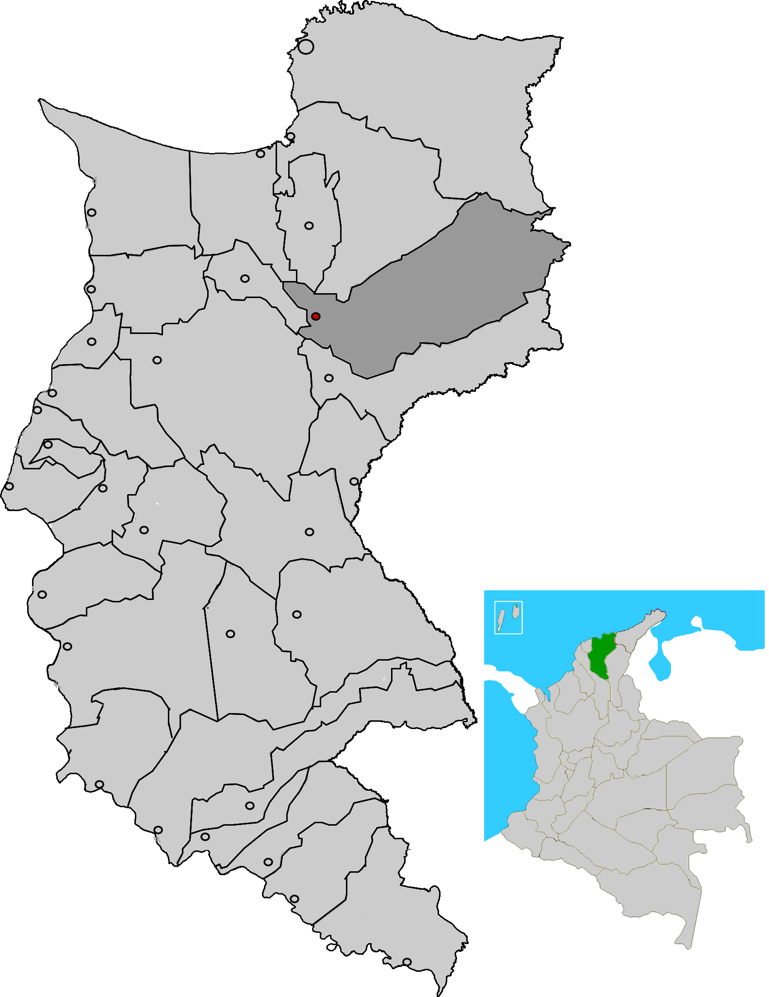
mapsize = 250px
map_caption = Location of the town and municipality of Aracataca in the Department of Magdalena.
subdivision_type =Country
subdivision_type1 = Region
subdivision_type2 = Department
subdivision_name =Colombia
subdivision_name1 = Caribbean
subdivision_name2 = Magdalena
leader_title =Mayor
leader_name =
established_title = Foundation
established_date = 1885
area_magnitude =
area_total_sq_mi =
area_total_km2 = 1755
area_land_sq_mi =
area_land_km2 =
area_water_sq_mi =
area_water_km2 =
area_water_percent =
area_urban_sq_mi =
area_urban_km2 =
area_metro_sq_mi =
area_metro_km2 =
population_as_of = 2005
population_note = [ [http://www.dane.gov.co/files/censo2005/regiones/magdalena/aracataca.pdf es icon DANE 2005 Census: Aracataca] ]
population_total = 34929
population_metro =
population_urban =
population_density_km2 =
population_density_sq_mi =
timezone =
utc_offset = -5
timezone_DST =
utc_offset_DST =
latd= |latm= |lats= |latN=
longd= |longm= |longs= |longW=
elevation_m =
elevation_ft =
website =
[http://aracataca-magdalena.gov.co www.aracataca-magdalena.gov.co]
footnotes = *Aracataca (colloquially sometimes referred to as "Cataca") is a municipality located in the Department of Magdalena,
Colombia 'sCaribbean Region . Aracata is a river town founded in 1885. The town stands beside the river of the same name, theAracataca river that flows from the near bySierra Nevada de Santa Marta mountain range into theCiénaga Grande de Santa Marta . Aracataca is located some 80 km south of the Department capitalSanta Marta .Geography and climate
The municipality borders to the north with the municipalities of Zona Bananera,
Santa Marta andCienaga , to the east with theCesar Department , to the south wi the municipality ofFundación , and to the west with the municipalities ofEl Retén and Pueblo Viejo.Aracataca's climate is tropical: warm and humid year-round.
History
Aracata was founded in 1885. It achieved the status of municipality in 1912 , separated from the municipality of Pueblo Viejo.
On
June 25 2006 , a referendum to rename the town "Aracataca-Macondo" failed due to a low turnout. [ [http://www.emol.com//noticias/internacional/detalle/detallenoticias.asp?idnoticia=223189 Macondo seguirá siendo un pueblo imaginario] —Spanish language news article.] [ [http://news.bbc.co.uk/2/hi/americas/5116004.stm Marquez town rebuffs Macondo name] —BBC News article,26 June 2006 .]Politics
Administrative divisions
Rural
Corregimientos
*Buenos Aires
*Cauca
*Sampues
*La Fuente.Veredas
Aracataca contains 13 veredas:
*Tehobromina
*El Torito
*Macaraquilla
*La escondida
*Bocatoma
*La Ribiera
*La Fuente
*Cerro Azul
*El Volante
*El porvenir
*MarimondaCaserios
Aracataca has 3 caseríos:
*Serankua
*Yechikin
*DwanawimakuUrban
Neighborhoods
The town of Aracataca has 33 Barrios: La Esperanza, La esmeralda, Zacapita, 2 de febrero, 20 de Julio, Ayacucho, Nariño, Loma Fresca, 7 de Agosto, El Carmen, Cataquita, Macondo, El Suiche, El Pradito, 11 de Noviembre, 7 de Abril, Ciudadela macondo, San José, Base, Marujita, Las delicias, Centro, Boston, El Porvenir, 1 de Mayo, Galán, San Martín, Bello Horizonte, Raíces, Macondo, Villa del Río I y II.
Economy
Aracataca relies heavily on agriculture mainly producing
Oil palm ,rice ,cotton ,sugar cane ,common bean ,plantain ,banana s,yuca ,tomato and onlivestock raising like cattle, equines, mules, donkeys, domesticatedbird s, goats and porks. Commerce represents another form of income and is mostly done informally, especially by the main highway to Santa Marta where large lines of stands selling beach towels are placed.Transportation
Transportation in and around Aracataca is mainly done over land since the rivers are not navigatable and there are a few small rudimentary airfields used by small aircraft for agricultural fummigations. The municipality and town are crossed by the Highway 45 that extends from
Santa Marta , crosses Aracataca,Fundación ,El Copey ,Bosconia ,Curumani into the Cesar Department and turns south towards the Colombian Andean Region. The railway no longer works for public transportation, it is used almost exclusively to transportCoal from the region of La Loma in Central Cesar Department to thePort of Santa Marta . There are several small companies that offer inter-municipal and inter-departamental transportation on medium-size buses,minivan s and taxi cabs.Culture
Festivities
Aracatacans celebrate the
Roman Catholic tradition ofThree Kings onJanuary 6 of every year, Carnivals and theholy week between February and March, a cultural week, The Festival of the Unedited Song ("Festival de la Canción Inédita"), The municipality's anniversary in April and the River Festival ("Festival del Río").In popular culture
* The town is the birthplace of Nobel Prize Winning author
Gabriel García Márquez and is widely recognized as the model for the mythical "Macondo ", the central village in García Márquez's masterpiece, "One Hundred Years of Solitude .References
External links
* [http://www.aracataca-magdalena.gov.co/sitio.shtml Alcaldia de Aracataca]
Wikimedia Foundation. 2010.