- Queenstown, Singapore
SG neighbourhood
image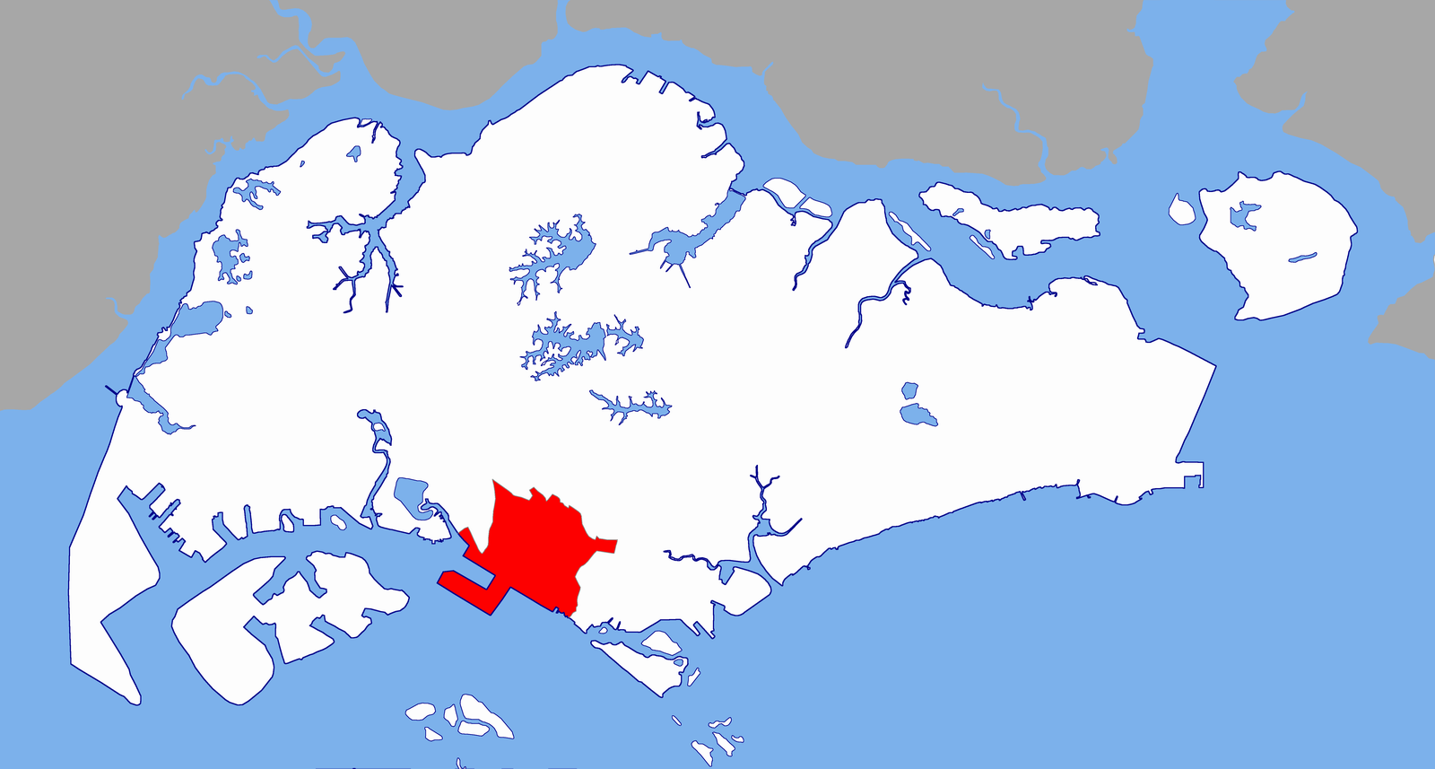
englishname=Queenstown
chinesename=女皇镇
poj=
pengim=
pinyin=nǚhuángzhèn
malayname=
tamilname="fill in"
totalarea=6.67
residentialarea=2.06
dwellingunits=28,406
projectedultimate=47,000
population=94,900Queenstown1 is one of the early housing estates in
Singapore , built beforeToa Payoh andAng Mo Kio , and was a test bed for much of Singapore'spublic housing . Queenstown is located at the central-eastern end of the island about five to eight kilometres from the city.Developed by the
Singapore Improvement Trust (SIT) in the 1950s and subsequently theHousing and Development Board (HDB ) in the 1960s, Queenstown is the first satellite town in Singapore. Apartments consisted of simple one-, two-, or three-room flats, typically in low-rise, walk-up blocks. Major development work was carried out during the first Five-Year Building Programme (1960–1965). A total of 19,372 dwelling units were constructed between 1952 and 1968. [http://www.ura.gov.sg/dgp_reports/queenstn/int-hist.html]Etymology
"Queenstown" was named after Queen Elizabeth to mark her
coronation in 1953. The area used to be called by the Chinese name "wu wei gang". The arterial road Queensway was officially named in 1955.History
Previously, Queenstown was a large
swamp yvalley with a channel running through in a southeastern direction. On either side of thisagricultural area werehill s - "feng xing" and "feng ling". The former was arubber plantation and the latter, acemetery also known as "boh beh kang". The village in the area, with mainly Hokkien and Teochew-speaking dwellers was also known by this name. Pre-1942, the area was inhabited by hundreds of people in attap-roofed huts, cultivating vegetables, growing fruits and rearing pigs and chickens. Buller Camp, a Britishmilitary camp , was also set up there until 1953 when it was cleared for the new housing estate. [http://www.ura.gov.sg/dgp_reports/queenstn/int-hist.html]In 1947, the Housing Committee of Singapore highlighted the problem of inadequate housing in Singapore. The report proposed the decentralisation of the population away from the city with the building of self-contained residential areas in the suburbs. This proposal was believed to be an influence of the
New Town movements in post-war Britain.Queenstown was subsequently chosen by Singapore Improvement Trust (SIT) as a site for housing development due to its proximity to the successful first public housing scheme in
Tiong Bahru . Construction of Queenstown's first estate, Princess Margaret Estate, began in July 1952. By late 1953, a preliminary batch of 3-room flats was ready for occupation. By 1956, work on the Princess Margaret Estate (later shortened to Princess Estate) had more than 1,000 flats comprising one, two and three-room units and 68 terrace houses. A ceremony was held in October that year for Forfar House, a 14-storey block which was a prominent landmark in those days.The area continued to develop as a self-contained community. Some of the facilities and amenities developed included the Town Centre and the Swimming and Sports Complex. The former was fully completed in 1969 with three cinemas and a variety of outlets including an
emporium , a fresh food market, a maternity and child health centre, abowling alley and a nightclub cumrestaurant . The swimming complex was completed in August 1970.In the 1970s, the success of the new town led to the development of two nearby neighbourhoods -
Buona Vista Estate and Holland Village, with Queenstown new town as a model. However, by the 1980s, the area had become a mature estate with a higher proportion ofsenior citizen s residing in the area than elsewhere, and a gradual migration of the younger generation into other HDB new towns.South of Queenstown is the
Pasir Panjang area ("Pasir Panjang" in Malay means "long sandy beach"). The coastline was dotted with Malay villages, the main economic activities being fishing and small scale agriculture. Only after the war, did the development of the area begin, withbungalow s along the coastline being built in the 1950s. Today, Pasir Panjang is a popular recreational area for sea sports and facilities such as theHaw Par Villa .Queenstown Planning Area
The Queenstown Planning Area (which includes the Queenstown Housing Estate) is bounded by the Ulu Pandan Canal,
Ghim Moh Housing Estate and the former Tanglin Camp area to the north, Alexandra Road to the east, Clementi Road to the west and the sea to the south. It covers an area of approximately 2,188ha . [http://www.ura.gov.sg/dgp_reports/queenstn/int-loc.html] . The total population (1990census ) is 126,071 with 31,131 housing units [http://www.ura.gov.sg/dgp_reports/queenstn/exc-ppln.html] . It consists of 16 subzones, namely:Ghim Moh , Holland Drive, Commonwealth, Tanglin Halt, Margaret Drive, Mei Chin, Queensway, Portsdown,Buona Vista ,Singapore Polytechnic , Dover, National University, Kent Ridge,Pasir Panjang , Pasir Panjang II, and the Port.Main housing estates
The main housing areas within Queenstown include:
* Tanglin Halt Road, Blocks 88-91 (scheduled for completion in 2006), at the junction of Queensway and Commonwealth. As one of the SERS upgrading first 'combo' blocks, it will consist of a mixture one-, two-, three-, four-, & five-room apartments.
* Dawson Road, (scheduled for completion in 2010)
* Forfar Heights (completed 2005)
* Commonwealth Green (completed 2002)
* Mei Ling Heights (completed 2001)
* Tanglin Halt Green (completed 2000)
* Commonwealth Heights (completed 2000)
* Stirling View (completed 1997)
* the Strathmore Road Area
* the Rumah Tinggi Estate (developed in 1970 together with the Mei Ling Estate, upgraded by the Town Council in 2003 at a cost ofS$ 1.1 million)Forfar Heights
Forfar House1, or Block 39, was built in 1956 by the Singapore Improvement Trust (SIT) as a 14-storey block (which at that time was the tallest residential building in Singapore, holding the record until the building of a 20-story block at Selegie in 1963). Also known as "Chap Si Lao", it was an early part of the mixed height development of the area. The new blocks at Forfar Heights are featured with blue glazing and blue floodlights at the roof line, reminiscent of the early days, where many units were characterized by blue glass in their windows, by which the district was acquired its Hokkien name "Lam Po Lay".
Block 39, Forfar Square, had 106 three-room-flats, four shops, and an eating house, until it was demolished in 1996 under the Selective "en bloc" Redevelopment Scheme (SERS). Currently, the new Forfar Heights consists of two 40-storey blocks (Blk 48, 52) and three 30-storey blocks (Blk 49-51). Residency was offered to residents from the old Forfar House and Blocks 6A & 6B Margaret Drive in 1996, and residents from Block 172-175 Stirling Road & Block 96 Margaret Drive in 2001. The new blocks were launched on "Tree Planting Day 2005 and SERS Completion Ceremony",
6 November 2005 , with guest of honour,Lee Kuan Yew ,Minister Mentor and Member of Parliament forTanjong Pagar GRC.The name for Forfar Heights had its origin from
Forfar Square , which like most Queenstown street names, was connected to theBritish Royal Family . The name "Forfar" comes from "The Royal Burgh of Forfar", a Scottish town near the childhood home of Queen Elizabeth's mother.Other amenities
Other places in the Queenstown area:
*Alexandra Hospital
*Anchorpoint Shopping Centre
* IKEA, Singapore (see alsoIKEA )
* MDIS UniCampus
*Queenstown Fire Station
*Queenstown MRT Station
*Queenstown Neighbourhood Police Centre
*Queensway Shopping Centre References
# Straits Times story [http://sgforums.com/?action=thread_display&thread_id=294824]
# [http://www.ura.gov.sg/ Urban Redevelopment Authority of Singapore]
# A community project by Singapore Pools Pte Ltd
# Victor R Savage, Brenda S A Yeoh (2003), "Toponymics - A Study of Singapore Street Names", Eastern Universities Press, ISBN 981-210-205-1
Wikimedia Foundation. 2010.