- Dâmboviţa River
Geobox River
name =Dâmboviţa River
native_name =
other_name =
other_name1 =
image_size = 300
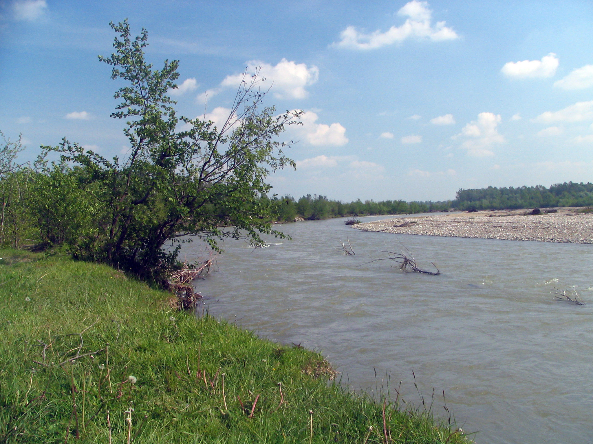
image_caption = The Dâmboviţa River in Măneşti,Dâmboviţa County
country_type = Countries
state_type =
region_type =
district_type = Counties
city_type = Villages
country =Romania
country1 =
state =
state1 =
region =
region1 =
district =Argeş County ,
Dâmboviţa County ,
Ilfov County ,
Municipality of Bucharest,
Călăraşi County
district1 =
city = Podu Dâmboviţei,Rucăr ,
Dragoslavele,
Valea Hotarului,
Lunca Gârţii,
Stoeneşti,
Coteneşti,
Valea Cetăţuia,
Cetăţeni,
LăicăiBucureşti
city1 =
length = 286
watershed =
discharge_location =
discharge =
discharge_max =
discharge_min =
discharge1_location =
discharge1 =
source_name =
source_location =Făgăraş Mountains
Junction of headwaters Valea Vladului and Boarcăşu
source_district =
source_region =
source_state =
source_country =
source_lat_d =
source_lat_m =
source_lat_s =
source_lat_NS =
source_long_d =
source_long_m =
source_long_s =
source_long_EW =
source_elevation =
source_length =
mouth_name =Argeş River
mouth_location =Budeşti
mouth_district =
mouth_region =
mouth_state =
mouth_country =
mouth_lat_d =
mouth_lat_m =
mouth_lat_s =
mouth_lat_NS =
mouth_long_d =
mouth_long_m =
mouth_long_s =
mouth_long_EW =
mouth_elevation =
tributary_left = Valea Vladului,
Berevoescu,
Luţele Mari,
Luţele Mici,
Valea lui Aron,
Valea Comisului,
Valea Nemţoaicelor,
Răchita,
Valea lui Stanciu,
Valea Turcilor,
Tămaşul,
Valea Dragoslăvenilor,
Valea lui Ivan,
Valea Largă,
Valea Seacă,
Valea Speriatei,
Valea Gruiului,
Berila,
Dâmbovicioara,
Valea Orăţiilor,
Cheia,
Ghimbav,
Valea Luncii,
Valea Caselor,
Valea Hotarului,
Olăneasca,
Valea Runcului,
Valea Jocii,
Bădeni,
Valea Grecului,
Pârâul lui Coman ,
Valea Chiliilor,
Valea Pleşei,
Valea Măgurii,
Valea Vlazilor,
Valea Ulmului,
Valea Largă,
Râul Alb,
Valea Satului,
Ilfov,
Colentina,
Pasărea
tributary_left1 =
tributary_right = Boarcăşu,
Colţii lui Andrei,
Izvorul Foişorului,
Valea Barbului,
Izvorul Hotarului,
Valea lui Aron,
Bălţatul,
Dracsin,
Cascue,Râul Căciulelor ,
Valea Şaului,
Clăbucet,
Oncioaia,
Valea Jugii,
Valea Arşiţei,
Râuşorul,
Frasinu,
Stoeneasca,
Valea Cheii,
Muscel,
Aninoasa,
Grui
tributary_right1 =
free = X.1.25
free_type = Official River Code
map_size =
map_caption =The Dâmboviţa River is a river in
Romania . It starts at the junction ofheadwater s Valea Vladului and Boarcăşu, having its source in theFăgăraş Mountains , and flowing southward. It passes throughBucharest and flows into theArgeş River 258kilometre s from its source, nearBudeşti , inCălăraşi County .Dâmboviţa County is named after the river.Dâmboviţa in Bucharest
For centuries, Dâmboviţa River was the main source of drinking water for the city of Bucharest. While there were a few dozen
water well s, most of the water in Bucharest was distributed by water-carriers. Ionescu p. 28-29]Bucharest folkore mentions the waters of Dâmboviţa as "sweet", and even at the beginning of the 18th century,
Anton Maria del Chiaro considered it "light and clean". However, toward the end of the century, as the population of Bucharest increased, the river ceased to be as clean, and hence the need of theaqueduct s. The earliest aqueducts with public fountains ("cişmele") were built during the rule of Prince Alexander Ypsilantis.Many
watermill s were built on the Dâmboviţa, most of them owned by the prince, the monasteries orboyar s.Dâmboviţa used to have two tributaries in Bucharest:
* Dâmbovicioara, on the right bank, which probably flowed in what is the area where "Sfiinţii Apostoli" street is located.
* Bucureştioara, which rose from a pond located in what is nowGrădina Icoanei Additionally, there was a branch, "Gârliţa", which formed an island, "Ostrovu".
The Dâmboviţa often flooded Bucharest, especially the lower left bank, which was lower. After the great 1775 flood, Ypsilantis ordered a branch canal to be built, in order to prevent, or at least diminish the effects of such flooding; in 1813, Prince
Jean Georges Caradja decided to clean up the river bed. The portion of the river flowing through the capital was channelled twice: in 1883 (to combat regularflood s), and in the late 1970s, to aid in the replanning of the Central area and the construction of theBucharest Metro .Dâmboviţa has never been
navigable , but there has been an unsuccessful attempt in 1902 to introduce boats on the river. [Georgescu et al., p.392]Early in its history, Bucharest had few bridges over the Dâmboviţa, as the right bank was only sparsely populated. The estates of some
boyar s used to extend on both banks of the river and they hadfootbridge s. [Ionescu, p. 29-30] Currently, there are about a dozen bridges over Dâmboviţa River in Bucharest.Localities
The river flows through the following communes, towns and cities:
*Dragoslavele
*Malu cu Flori
*Cândeşti
*Vulcana-Băi
*Voineşti
*Măneşti
*Dragomireşti
*Lucieni
*Nucet
*Conteşti
*Lunguleţu
*Bucharest (city)
*Plătăreşti
*Vasilaţi
*Budeşti (town)Gallery
Notes
References
*Ştefan Ionescu, "Bucureştii în vremea fanarioţilor", Editura Dacia, Cluj, 1974. p.28-30
*Florian Georgescu et al. "Istoria Oraşului Bucureşti", Muzeul de Istorie a Oraşului Bucureşti, 1965.
* Trasee turistice - judeţul Argeş [http://www.e-calauza.ro/index.php?afiseaza=trasee-turistice-arges]
* Trasee turistice - judeţul Dâmboviţa [http://www.e-calauza.ro/index.php?afiseaza=trasee-turistice-dambovita]
* Trasee turistice - judeţul Ilfov [http://www.e-calauza.ro/index.php?afiseaza=trasee-turistice-ilfov]Maps
* Harta Judeţul Argeş [http://www.harta-turistica.ro/map.php?ID=27&harta=Judetul%20Arges]
Wikimedia Foundation. 2010.