- Obervellach
-
Obervellach 
 Obervellach
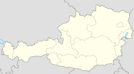
Country Austria State Carinthia District Spittal an der Drau Mayor Wilhelm Pacher Area 104.41 km2 (40 sq mi) Elevation 632 m (2074 ft) Population 2,358 (1 January 2011)[1] - Density 23 /km² (58 /sq mi) Time zone CET/CEST (UTC+1/+2) Postal code 9821 Area code 04782 Website www.obervellach.at Obervellach (Slovene: Zgornja Bela ) is a municipality in the district of Spittal an der Drau in Carinthia in Austria. It is situated in the valley of the Möll river, on the southern slope of the Hohe Tauern mountain range. The municipal area includes the Katastralgemeinden of Pfaffenberg, Lassach and Söbriach.
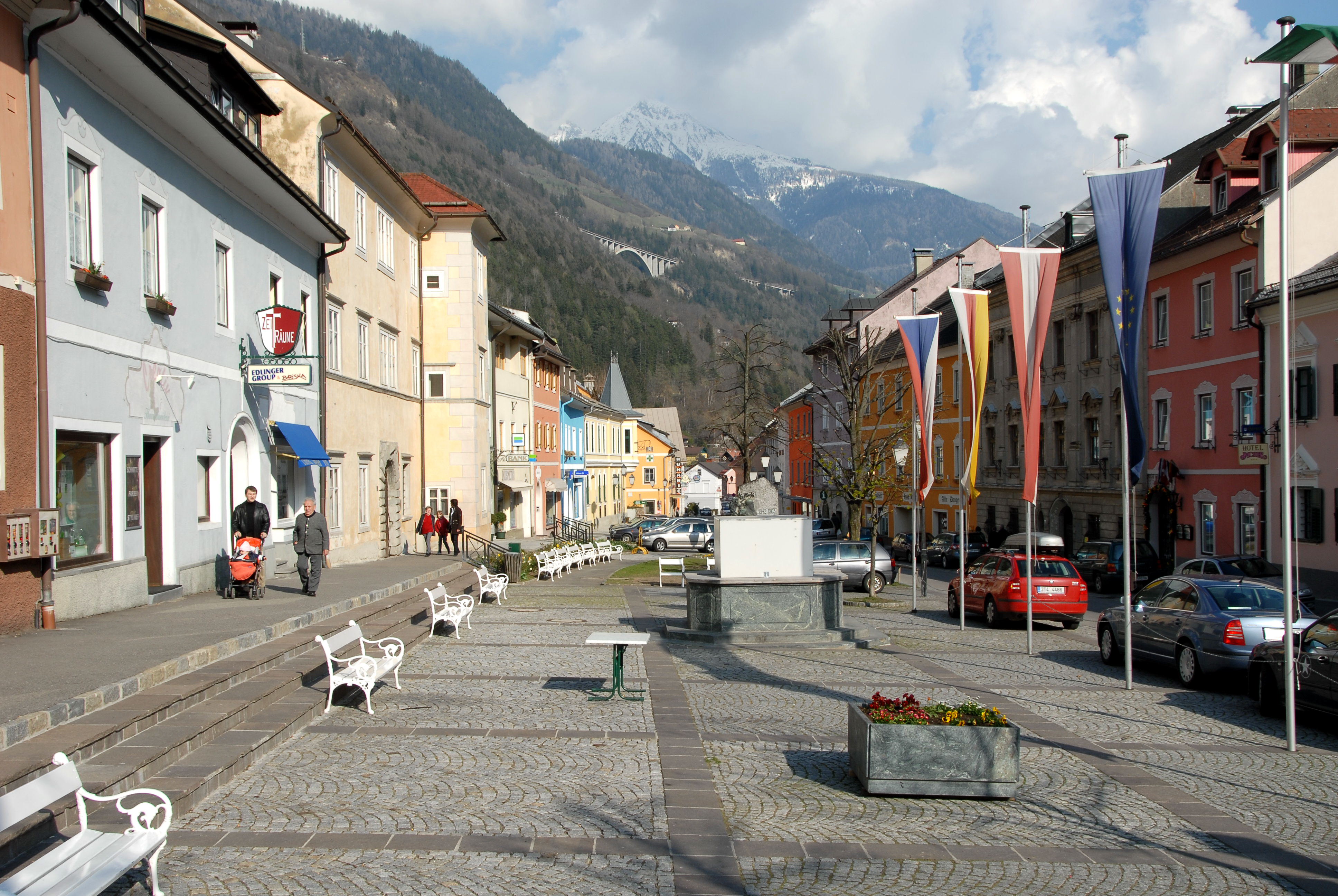
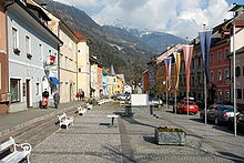 Main square
The settlement of Velach was first mentioned in a deed issued by the Bishop Abraham of Freising (957-994), a Bavarian missionary among the East Alpine Slavs in the former principality of Carantania. The name is probably derived from Slavic bela ("white"). The traditional gold and silver mining area from the 12th century onwards was a possession of the Meinhardiner counts of Görz, their ministeriales resided at Falkenstein Castle high above the valley. After the conflict over the inheritance of Count Ulrich II of Celje, in which the Meinhardiner were defeated by Emperor Frederick III, the area of Obervellach in 1460 was finally incorporated into the Carinthian possessions of the House of Habsburg.
Twin towns
References
Bad Kleinkirchheim · Baldramsdorf · Berg im Drautal · Dellach im Drautal · Flattach · Gmünd · Greifenburg · Großkirchheim · Heiligenblut · Irschen · Kleblach-Lind · Krems · Lendorf · Lurnfeld · Mallnitz · Malta · Millstatt · Mörtschach · Mühldorf · Oberdrauburg · Obervellach · Radenthein · Rangersdorf · Reißeck · Rennweg am Katschberg · Sachsenburg · Seeboden · Spittal an der Drau · Stall · Steinfeld · Trebesing · Weissensee · Winklern
 Categories:
- Cities and towns in Carinthia
- Carinthia geography stubs

Wikimedia Foundation. 2010.