- Gmina Abramów
-
Gmina Abramów
Abramów Commune— Gmina — Location within the county and voivodeship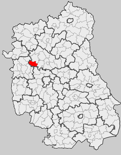
Coordinates (Abramów): 51°27′20″N 22°19′0″E / 51.45556°N 22.316667°ECoordinates: 51°27′20″N 22°19′0″E / 51.45556°N 22.316667°E Country  Poland
Voivodeship Lublin County Lubartów Seat Abramów Area – Total 84.54 km2 (32.6 sq mi) Population (2006) – Total 4,309 – Density 51/km2 (132/sq mi) Website http://www.abramow.lubelskie.pl/ Gmina Abramów is a rural gmina (administrative district) in Lubartów County, Lublin Voivodeship, in eastern Poland. Its seat is the village of Abramów, which lies approximately 20 kilometres (12 mi) west of Lubartów and 29 km (18 mi) north-west of the regional capital Lublin.
The gmina covers an area of 84.54 square kilometres (32.6 sq mi), and as of 2006 its total population is 4,309.
Neighbouring gminas
Gmina Abramów is bordered by the gminas of Baranów, Garbów, Kamionka, Kurów, Markuszów, Michów and Żyrzyn.
Villages
The gmina contains the villages of Abramów, Ciotcza, Dębiny, Glinnik, Izabelmont, Marcinów, Michałówka, Sosnówka, Wielkie, Wielkolas and Wolica.
References
Gmina Abramów Seat Other villages Ciotcza • Dębiny • Glinnik • Izabelmont • Marcinów • Michałówka • Sosnówka • Wielkie • Wielkolas • WolicaLubartów County Seat 
Urban-rural gminas Rural gminas Gmina Abramów • Gmina Firlej • Gmina Jeziorzany • Gmina Kamionka • Gmina Lubartów • Gmina Michów • Gmina Niedźwiada • Gmina Ostrówek • Gmina Serniki • Gmina UścimówOther features Categories:- Gminas in Lublin Voivodeship
- Lubartów County


Wikimedia Foundation. 2010.