- Gmina Lubartów
Infobox Settlement
name = Gmina Lubartów
other_name = Lubartów Commune
settlement_type =Gmina
total_type = Total
image_shield = POL gmina Lubartów COA.svg
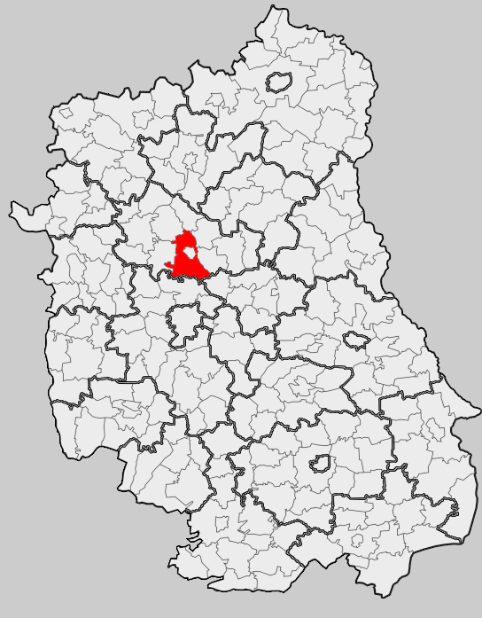
map_caption = Location within the county and voivodeship
subdivision_type = Country
subdivision_name = POL
subdivision_type1 = Voivodeship
subdivision_name1 = Lublin
subdivision_type2 = County
subdivision_name2 = Lubartów
area_total_km2 = 158.94
population_total = 10212
population_as_of = 2006
population_density_km2 = auto
coor_type = Lubartów
latd = 51
latm = 28
lats =
latNS = N
longd = 22
longm = 36
longs =
longEW = E
seat =Lubartów
website = http://www.lubartow.gmina.woi.lublin.pl/Gmina Lubartów is a rural
gmina (administrative district) inLubartów County ,Lublin Voivodeship , in easternPoland . Its seat is the town ofLubartów , although the town is not part of the territory of the gmina.The gmina covers an area of convert|158.94|km2|sqmi|1, and as of 2006 its total population is 10,212.
History
Gmina Lubartów was created out of the
Łucka andLisów gminas in 1973.The oldest monument of the gmina is probably
Góra Tatarska , an old fort. The area is well known for its craft skills, particularly dried flower compositions and Easter palms (made of dried grasses).Geography
About 57% of the land is arable whilst 35% is forested, mostly in the southwestern corner of the
gmina . It is located on theLubartów plateau, and theWieprz river valley forms the eastern part of the region and here there are large areas of meadow and pastures, as well as some wetlands. In the south there is a largeforest -Kozłowiecki forest .Neighbouring gminas
Gmina Lubartów is bordered by the town of
Lubartów and by the gminas of Firlej, Kamionka, Niedźwiada, Niemce, Ostrówek, Serniki and Spiczyn.Villages
The gmina contains the following villages with the status of
sołectwo :Annobór ,Annobór-Kolonia ,Baranówka ,Brzeziny ,Chlewiska , Lisów,Łucka ,Łucka-Kolonia ,Majdan Kozłowiecki , Mieczysławka, Nowodwór,Nowodwór-Piaski ,Rokitno, Lubartów County ,Skrobów ,Skrobów-Kolonia , Szczekarków,Trójnia , Trzciniec,Wandzin , Wincentów,Wola Lisowska ,Wola Mieczysławska ,Wólka Rokicka andWólka Rokicka-Kolonia .References
* [http://www.stat.gov.pl/gus/45_655_PLK_HTML.htm Polish official population figures 2006]
Wikimedia Foundation. 2010.