- Chinley
-
Coordinates: 53°20′N 1°55′W / 53.33°N 1.91°W
Chinley 
Chinley village.
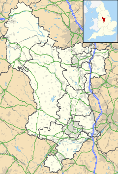
 Chinley shown within Derbyshire
Population 2,145 OS grid reference SK040825 District High Peak Shire county Derbyshire Region East Midlands Country England Sovereign state United Kingdom Post town HIGH PEAK Postcode district SK23 Dialling code 01663 Police Derbyshire Fire Derbyshire Ambulance East Midlands EU Parliament East Midlands UK Parliament High Peak List of places: UK • England • Derbyshire Chinley is a rural village in High Peak Borough, situated on the western edge of the Peak District National Park in Derbyshire, England, with a population of around 2000. Before the railway, the area was economically dominated by agriculture and quarrying. Three textile mills were established in the valley during the 19th century. Nowadays most inhabitants commute out of the village to work.
Nearby Ford Hall was the home of the Reverend William Bagshaw, the 'Apostle of the Peak', after he was ejected from the vicarage on the Act of Uniformity in 1662. John Bennet [1714-1759], described as "one of John Wesley's most outstanding young preachers", was born at Chinley and lived at Lee End.[1] Both Bennet, and his wife Grace Murray, are buried in the graveyard of nearby Chinley Chapel, a Nonconformist chapel built in 1716. The coming of the railways was the reason Chinley grew from the tiny hamlet it had been, and the village is actually named after its railway station, rather than the other way around. Previously the names Maynestonefield or Four Lanes End were used. Chinley railway station was once an important railway junction on the Midland Railway's Dore and Chinley line and its London-bound extension through Millers Dale, and it was common to have to change trains in Chinley en route for Manchester, London or Sheffield. The station is now a single 'island' platform on the trans-Pennine line between Sheffield and Manchester Piccadilly.
Chinley lies in the Blackbrook Valley. To the north is Cracken Edge, a much-quarried promontory of Chinley Churn, a large fairly nondescript hill. To the south is Eccles Pike, an almost-conical hill, partly owned by the National Trust. Nearby is Chapel-en-le-Frith, Glossop, Buxton, famous for its mineral water, and Buxworth, home of Buxworth Basin.
Chinley Juniors Football Club is the local team that plays its games at Chinley Community Centre. Recently the club spent £60,000 on refurbishing the two football pitches at the park.
References
- ^ S. R. Valentine, John Bennet & the Origins of Methodism and the Evangelical Revival in England, Scarecrow Press, NJ, 1997
External links
 Media related to Chinley at Wikimedia CommonsCategories:
- Villages in Derbyshire
- Towns and villages of the Peak District
Wikimedia Foundation. 2010.

