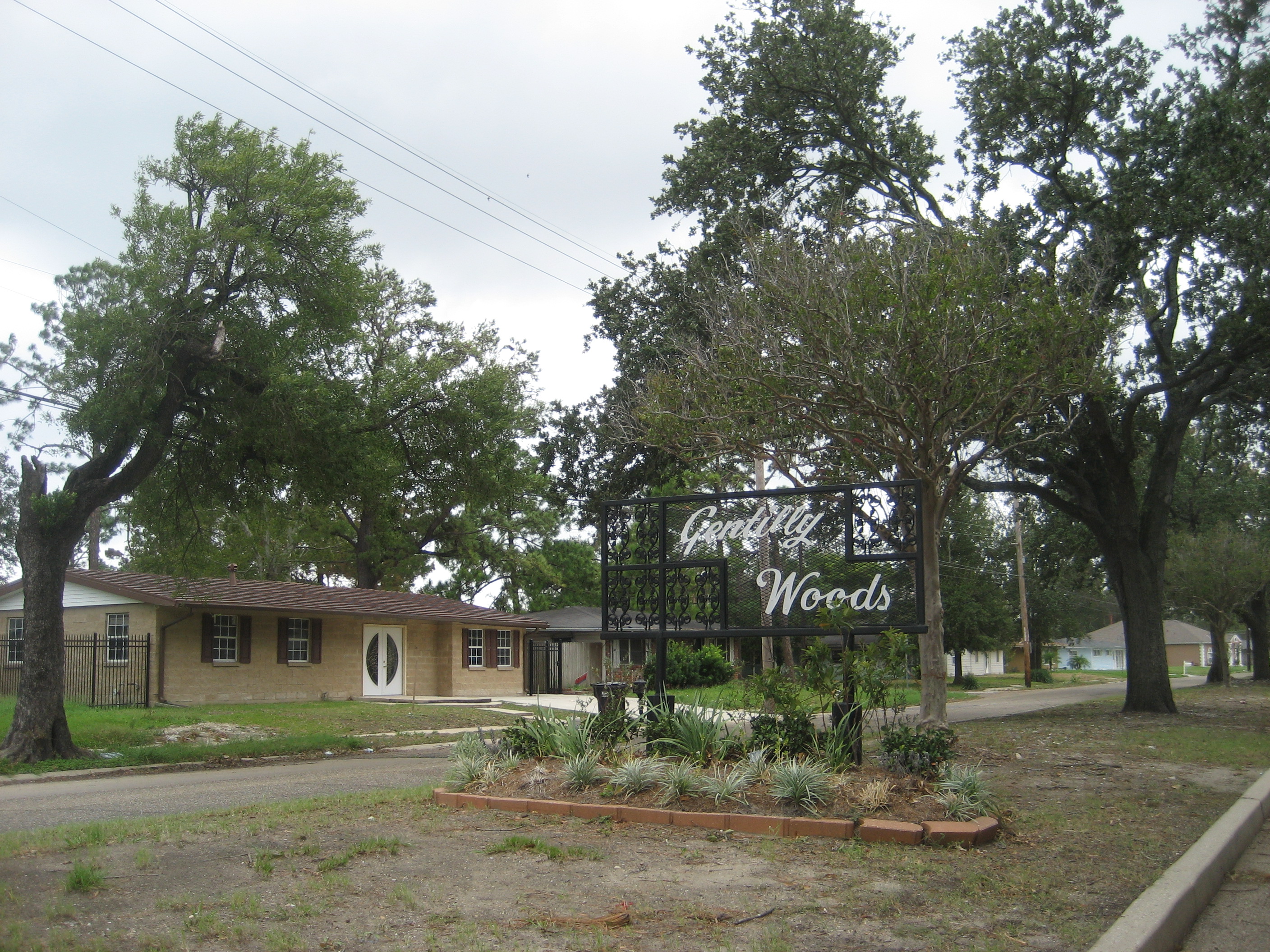
- Gentilly Woods, New Orleans
Geobox Neighborhood
name = Gentilly Woods
native_name =
other_name =
other_name1 =
category = New Orleans Neighborhood
image_size =
image_caption =
flag_size =
symbol =
symbol_size =
etymology_type =
etymology =
nickname =
motto =
country = United States
state = Louisiana
region_type = City
region = New Orleans
district_type = Planning District
district = District 6, Gentilly District
area_imperial = 0.72
area_land_imperial = 0.70
area_water_imperial = 0.02
area_water_percentage = auto
area_percentage_round = 2
area_round = 1
location =
lat_d = 30
lat_m = 00
lat_s = 36
lat_NS = N
long_d = 90
long_m = 02
long_s = 17
long_EW = W
elevation_imperial = 0
elevation_round = 1
population_as_of = 2000
population = 4387
population_density_imperial = auto
established_type =
established =
mayor =
timezone = CST
utc_offset = -6
timezone_DST = CDT
utc_offset_DST = -5
postal_code =
postal_code_type = ZIP Codes
area_code = 504
area_code_type =
code2_type =
code2 =
free_type =
free =
free1_type =
free1 =
map_size =
map_caption =
map_locator =
map_locator_x =
map_locator_y =
website =Gentilly Woods is a neighborhood of the city of New Orleans. A subdistrict of the Gentilly District Area, its boundaries as defined by the City Planning Commission are: Dreux Avenue to the north,
Industrial Canal to the east,Gentilly Boulevard to the south and People's Avenue to the west.Geography
Gentilly Woods is located at coor dms|30|00|36|N|90|02|17|W|city GR|1 and has an elevation of convert|0|ft|1GR|3. According to the
United States Census Bureau , the district has a total area of convert|0.72|mi2|1. convert|0.70|mi2|1 of which is land and convert|0.02|mi2|1 (2.78%) of which is water.Adjacent Neighborhoods
* Pontchartrain Park (north)
* Pines Village (east)
* Desire Area (south)
* Gentilly Terrace (west)Boundaries
The City Planning Commission defines the boundaries of Gentilly Woods as these streets: Dreux Avenue, Industrial Canal, Gentilly Boulevard and People's Avenue. [cite web|url=http://gnocdc.org/orleans/6/29/index.html|title=Gentilly Woods Neighborhood|author=Greater New Orleans Community Data Center|accessdate=2008-06-21]
Demographics
As of the
census GR|2 of 2000, there were 4,387 people, 1,487 households, and 1,147 families residing in the neighborhood. Thepopulation density was 6,267 /mi² (2,437 /km²).History
The Gentilly Woods subdivision was developed in the early 1950s, in an area adjacent to the Higgins Shipyards, which was located on the Industrial Canal.
During World War II, the Higgins plant occupied most of the land. At the factory there were homes constructed of plywood that employees were reported to have occupied during the war effort, they were aptly named Higgins Huts.
With the growth of the city after the war and the need for new housing, Gentilly Woods was developed. A corporation founded by W.H. Crawford and Associates began work, in early 1951, with a plan to construct more than 1400 homes designed to meet the booming post-war housing market.
The City of New Orleans made arrangements for public transportation and the developers signed contracts for city sewerage, drainage, water mains, and other site improvements before a single house was begun. Land was secured along Gentilly Boulevard for a shopping center, to serve the new community, and approximately 12 acres were reserved for school (Saint Gabriel the Archangel and W.C.C. Claiborne grammar schools) and playground use.
ee also
*
New Orleans neighborhoods
*Gentilly, New Orleans References
Wikimedia Foundation. 2010.