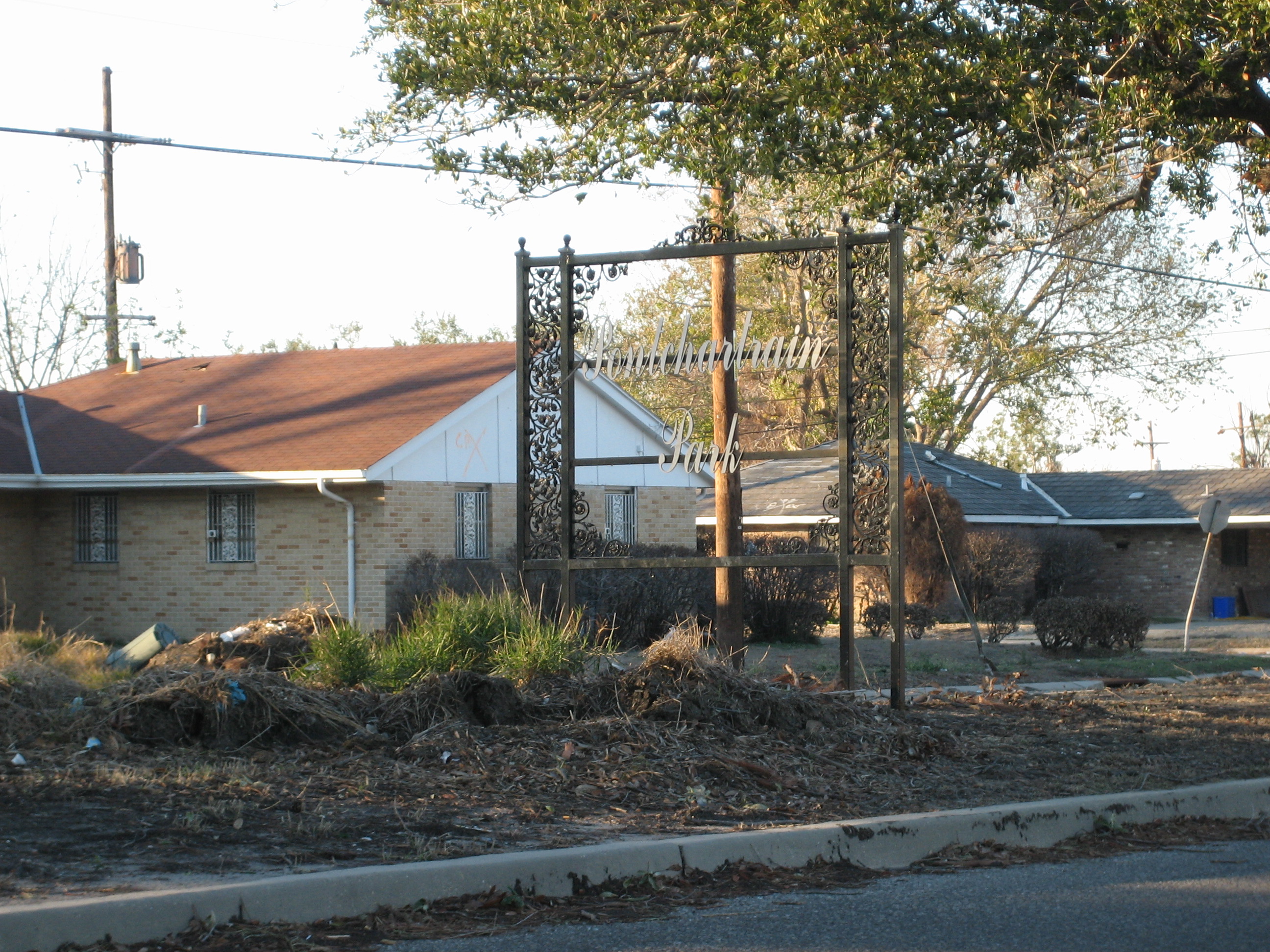
- Pontchartrain Park, New Orleans
Geobox Neighborhood
name = Pontchartrain Park
native_name =
other_name =
other_name1 =
category = New Orleans Neighborhood
image_size =
image_caption =
flag_size =
symbol =
symbol_size =
etymology_type =
etymology =
nickname =
motto =
country = United States
state = Louisiana
region_type = City
region = New Orleans
district_type = Planning District
district = District 6, Gentilly District
area_imperial = 1.00
area_land_imperial = 0.93
area_water_imperial = 0.07
area_water_percentage = auto
area_percentage_round = 2
area_round = 1
location =
lat_d = 30
lat_m = 01
lat_s = 19
lat_NS = N
long_d = 90
long_m = 02
long_s = 25
long_EW = W
elevation_imperial = 0
elevation_round = 1
population_as_of = 2000
population = 2630
population_density_imperial = auto
established_type =
established =
mayor =
timezone = CST
utc_offset = -6
timezone_DST = CDT
utc_offset_DST = -5
postal_code =
postal_code_type = ZIP Codes
area_code = 504
area_code_type =
code2_type =
code2 =
free_type =
free =
free1_type =
free1 =
map_size =
map_caption =
map_locator =
map_locator_x =
map_locator_y =
website =Pontchartrain Park is a neighborhood of the city of New Orleans. A subdistrict of the Gentilly District Area, its boundaries as defined by the City Planning Commission are: Leon C. Simon Drive to the north, the
Industrial Canal to the east, Dreux Avenue to the south and People's Avenue to the west.Geography
Pontchartrain Park is located at coor dms|30|01|19|N|90|02|25|W|city GR|1 and has an elevation of convert|0|ft|1GR|3. According to the
United States Census Bureau , the district has a total area of convert|1.00|sqmi|1. convert|0.93|sqmi|1 of which is land and convert|0.07|sqmi|1 (7.0%) of which is water.Adjacent Neighborhoods
* Lake Terrace/Lake Oaks (north)
* Pines Village (east)
* Gentilly Woods (south)
* Milneburg (west)Boundaries
The City Planning Commission defines the boundaries of Pontchartrain Park as these streets: Leon C. Simon Drive, the Industrial Canal, Dreux Avenue and People's Avenue. [cite web|url=http://gnocdc.org/orleans/6/31/index.html|title=Pontchartrain Park Neighborhood|author=Greater New Orleans Community Data Center|accessdate=2008-06-21]
Demographics
As of the
census GR|2 of 2000, there were 2,630 people, 1,009 households, and 736 families residing in the neighborhood. Thepopulation density was 2,828 /mi² (1,096 /km²).History
Pontchartrain Park was developed after
World War II . It was one of the firstsuburb subdivisions developed by and formiddle class African American s during the Jim Crow era ofracial segregation inLouisiana . Pontchartrain Park includes agolf course ; it has been home to such prominent New Orleanians as mayorsDutch Morial andMarc Morial and district attorney Eddie Jordan. Adjacent to the Pontchartrain Park golf course is the campus ofSouthern University at New Orleans .Pontchartrain Park flooded badly in the aftermath of
Hurricane Katrina in 2005, taking on water first from over topping of a section of floodwall of the Industrial Canal from storm surge channeled in to the city from the MRGO Canal, then from the major breaches in theLondon Avenue Canal .ee also
*
New Orleans neighborhoods
*Gentilly, New Orleans References
External links
* [http://www.npr.org/templates/story/story.php?storyId=5036200 NPR story: Return to Pontchartrain Park]
Wikimedia Foundation. 2010.