- Queen Alexandra Range
-
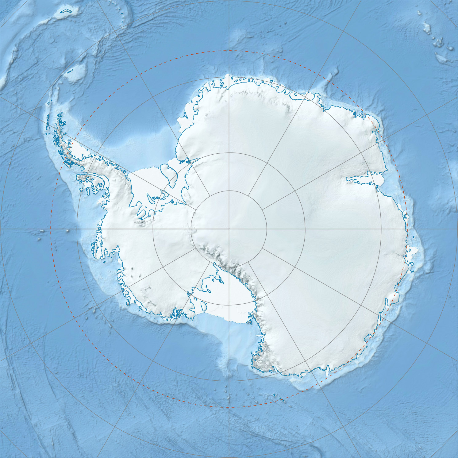
 Queen Alexandra Range in Antarctica
The Queen Alexandra Range is a major mountain range in East Antarctica, about 160 km (100 mi) long, bordering the entire western side of Beardmore Glacier from the Polar Plateau to the Ross Ice Shelf. Alternate names for this range include Alexandra Mountains, Alexandra Range and Königin Alexandra Gebirge.[1]
The highest peak of the range is Mount Kirkpatrick at 4,528 metres (14,856 ft). Other peaks in the range include Mount Dickerson (4,120 m).
This mountain range was discovered on the journey toward the South Pole by the British Antarctic Expedition (1907-09), and was named by Ernest Shackleton for Queen Alexandra of England.[1] Shackleton and his men, and a later expedition headed by Robert Falcon Scott, both collected rock samples from the range that contained fossils. The discovery that multicellular life forms had lived so close to the South Pole was an additional piece of evidence that accompanied the publication (in 1910 and independently in 1912) of the theory of continental drift. Coordinates: 84°00′S 168°00′E / 84°S 168°E
Mountains and peaks
Mountain Metres Feet Coordinates Decennial Peak 4,020 13,189 84°22′S 166°02′E / 84.367°S 166.033°E Mount Stanley 3,220 10,564 84°09′S 165°29′E / 84.15°S 165.483°E Mount Bishop 3,020 9,908 83°43′S 168°42′E / 83.717°S 168.7°E Ahmadjian Peak 2,910 9,547 83°41′S 168°42′E / 83.683°S 168.7°E Mount Fox 2,820 9,252 83°38′S 169°15′E / 83.633°S 169.25°E Mount Ida 1,565 5,135 83°35′S 170°29′E / 83.583°S 170.483°E Ahmadjian Peak
Ahmadjian Peak is a prominent ice-covered peak, standing 4.5 miles (7 km) southwest of Mount Fox. Named by Advisory Committee on Antarctic Names (US-ACAN) for Vernon Ahmadjian, United States Antarctic Research Program (USARP) biologist at McMurdo Station, 1963-64.[2]
Mount Bishop
Mount Bishop stands 3.2 km (2 mi) south of Ahmadjian Peak. Named by US-ACAN after Lieutenant Barry Chapman Bishop (1932–94), United States Air Force (USAF), an observer with the Argentine Antarctic Expedition (1956–57); member of the Staff of the U.S. Antarctic Projects Officer, 1958 and 1959; member of the American party which on May 22, 1962, succeeded in climbing Mount Everest.[3]
Decennial Peak
Decennial Peak is a peak situated 4.8 km (3 mi) southwest of Mount Kirkpatrick. Mapped by United States Geological Survey (USGS) from surveys and U.S. Navy air photos, 1958-65. Named by US-ACAN in recognition of the Decennial of the Institute of Polar Studies, Ohio State University, in 1970, the same year the University celebrated its Centennial. The university and the Institute have been very active in Antarctic investigations since 1960.[4]
Mount Fox
Mount Fox is a mountain standing 1 mi SW of Mount F.L. Smith. Discovered and named by the British Antarctic Expedition.[5]
Mount Ida
Mount Ida is a conspicuous bare rock mountain, standing 2 miles (3.2 km) west of Granite Pillars, just southeast of the head of King Glacier. Discovered by the British Antarctic Expedition (1907-09), and named for Ida Jane Rule of Christchurch, New Zealand, who later married Edward Saunders[disambiguation needed
 ], Secretary to Shackleton, who assisted in preparing the narrative of the expedition.[6]
Mount Stanley
Mount Stanley stands northeast of the head of Wyckoff Glacier near the western limits of Grindley Plateau. Named by the British Antarctic Expedition (1907–09) for the eldest brother of Dr. E.S. Marshall, a member of the expedition. This identification is the New Zealand Geological Survey Antarctic Expedition (NZGSAE) (1961–62) interpretation of the original positioning by the British Antarctic Expedition (1907–09).[7]
References
- ^ a b "Queen Alexandra Range". Geographic Names Information System, U.S. Geological Survey. http://geonames.usgs.gov/pls/gnispublic/f?p=gnispq:5:::NO::P5_ANTAR_ID:12248. Retrieved 2004-11-02.
- ^ "Ahmadjian Peak". Geographic Names Information System, U.S. Geological Survey. http://geonames.usgs.gov/pls/gnispublic/f?p=gnispq:5:::NO::P5_ANTAR_ID:147. Retrieved 2008-03-23.
- ^ "Mount Bishop". Geographic Names Information System, U.S. Geological Survey. http://geonames.usgs.gov/pls/gnispublic/f?p=gnispq:5:::NO::P5_ANTAR_ID:1423. Retrieved 2006-10-10.
- ^ "Decennial Peak". Geographic Names Information System, U.S. Geological Survey. http://geonames.usgs.gov/pls/gnispublic/f?p=gnispq:5:::NO::P5_ANTAR_ID:3647. Retrieved 2005-11-11.
- ^ "Mount Fox". Geographic Names Information System, U.S. Geological Survey. http://geonames.usgs.gov/pls/gnispublic/f?p=gnispq:5:::NO::P5_ANTAR_ID:5205. Retrieved 2010-05-23.
- ^ "Mount Ida". Geographic Names Information System, U.S. Geological Survey. http://geonames.usgs.gov/pls/gnispublic/f?p=gnispq:5:::NO::P5_ANTAR_ID:7259. Retrieved 2008-03-20.
- ^ "Mount Stanley". Geographic Names Information System, U.S. Geological Survey. http://geonames.usgs.gov/pls/gnispublic/f?p=gnispq:5:::NO::P5_ANTAR_ID:14473. Retrieved 2005-11-29.
Categories:- Mountain ranges of the Ross Dependency
- Shackleton Coast
Wikimedia Foundation. 2010.