- Marienborg Station
-
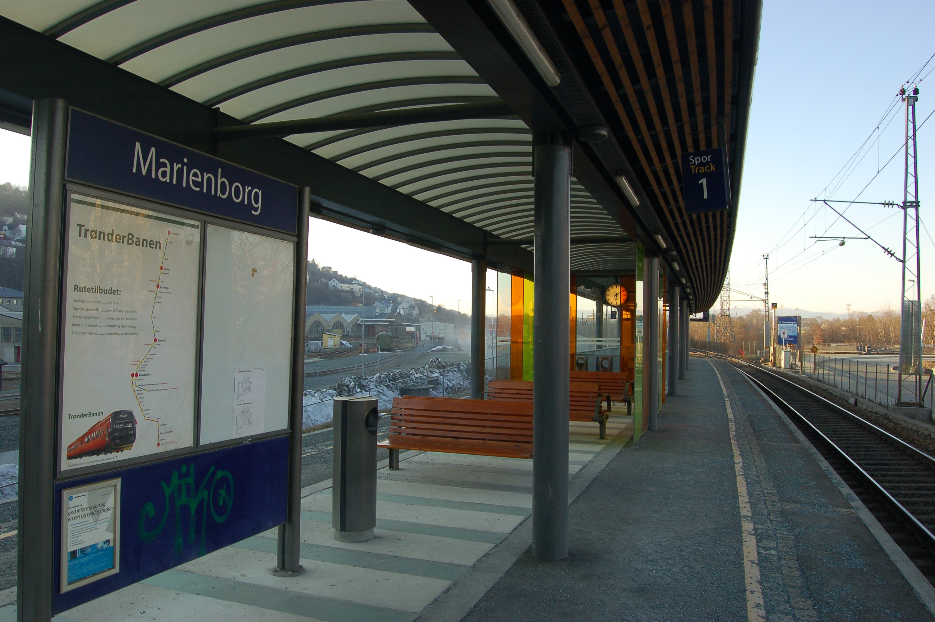
Marienborg 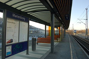
Location Place Marienborg Municipality Trondheim Coordinates 63°25′12″N 10°22′55″E / 63.42°N 10.38194°ECoordinates: 63°25′12″N 10°22′55″E / 63.42°N 10.38194°E Line(s) Dovre Line Distance 549,95 km Service Opened 1999 Platforms 2 Owner Norwegian National Rail Administration Line operator(s) Norges Statsbaner Connections 
19 Sandmoen - Pirterminalen Marienborg is a railway station located at Marienborg in Trondheim, Norway. The station is located on the Dovre Line at the point where the Stavne–Leangen Line branches off from the Dovre Line. The station has two platforms, one on each of the railway lines, the one track electrified and the other not. Service to the station is provided though the commuter train service Trønderbanen operated by Norges Statsbaner and regional trains to Røros. It was opened in 1999.
The station is located beside St. Olavs Hospital and beside the NSB yard at Marienborg. The station had a role in the 1921 Nidareid train disaster since one of the trains involved was supposed to wait here but failed to do so.
External links
Preceding station Line Following station Selsbakk Dovre Line Skansen terminus Stavne–Leangen Line Lerkendal Preceding station Regional trains Following station Selsbakk Røros–Trondheim Skansen Preceding station Local trains Following station Lerkendal Trønderbanen Skansen Categories:- Railway stations on Dovrebanen
- Railway stations opened in 1999
- Railway stations serving hospitals in Norway
- Railway stations in Trondheim
- Norwegian railway station stubs
Wikimedia Foundation. 2010.