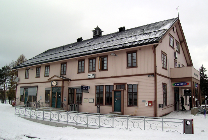
Røros Line — Infobox rail line name = Røros Line nativename = Rørosbanen caption = Røros Station at Røros type = Railway system = Norwegian railway status = start = Hamar end = Støren stations = 28 open = 13 October 1877 close = owner = Norwegian National… … Wikipedia
Roros — Røros Røros Pays … Wikipédia en Français
Station radio Varberg — Station radio de Grimeton Pylone de 127 mètres de haut autrefois utilisé pour communiquer avec l Amérique du Nord La station radio de Grimeton (aussi désignée sous le nom de Station radio Varberg) est un centre de télécommunications construit à… … Wikipédia en Français
Station radio de grimeton — Pylone de 127 mètres de haut autrefois utilisé pour communiquer avec l Amérique du Nord La station radio de Grimeton (aussi désignée sous le nom de Station radio Varberg) est un centre de télécommunications construit à Grimeton en Suède (comté de … Wikipédia en Français
Röros — (Röraas), Bergstädtchen im norweg. Amt Süddrontheim, 628 m ü. M., auf einem Plateau unweit der Quellen des Glommen in rauher Gegend gelegen, Station der Staatsbahnlinie Eidsvold Drontheim, hat seit 1646 bearbeitete Kupfergruben und (1900) 2217… … Meyers Großes Konversations-Lexikon
Trondheim Central Station — Infobox Norwegian station name = Trondheim S caption = The new section of Trondheim Central Station locale = Brattøra municipality = Trondheim line = Dovre Line Nordland Line distance = 552.87 km elevation = 5.1 m coordinates =… … Wikipedia
Ålen Station — Infobox Norwegian station name = Ålen caption = locale = Ålen municipality = Holtålen line = Rørosbanen distance = 438.03 km elevation = 484.9 m asl coordinates = start = 1901 architect = platforms = 2 owner = Jernbaneverket operator = Norges… … Wikipedia
Marienborg Station — Marienborg Location Place Marienborg Municipality Trondheim Coordinates … Wikipedia
Melhus Station — Melhus Location Place Downtown Melhus Municipality Melhus Coordinates … Wikipedia
Hamar Station — Infobox Norwegian station name = Hamar caption = locale = Hamar municipality = Hamar line = Dovrebanen Rørosbanen distance = 126.26 km elevation = 127.0 m coordinates = coor dec|60.791615|11.076365 start = 1862 architect = platforms = 3 owner =… … Wikipedia

