- Robertson County, Texas
Infobox U.S. County
county = Robertson County
state = Texas

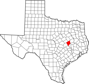
map size = 250
founded = 1837
seat = Franklin | area_total_sq_mi =866
area_land_sq_mi =855
area_water_sq_mi =11
area percentage = 1.28%
census yr = 2000
pop = 16000
density_km2 =7
web = www.co.robertson.tx.us
|Robertson County is a
county located in theU.S. state ofTexas . It forms part of theBryan-College Station metropolitan area . In 2000, its population was 16,000. Its seat is FranklinGR|6. The county is named forSterling C. Robertson , an early settler who signed theTexas Declaration of Independence .Geography
According to the U.S. Census Bureau, the county has a total area of 866
square mile s (2,242km² ), of which, 855 square miles (2,213 km²) of it is land and 11 square miles (29 km²) of it (1.28%) is water.Major highways
*
*
*
*Adjacent counties
*Limestone County (north)
*Leon County (northeast)
*Brazos County (southeast)
*Burleson County (south)
*Milam County (southwest)
*Falls County (northwest)Demographics
As of the
census GR|2 of 2000, there were 16,000 people, 6,179 households, and 4,356 families residing in the county. Thepopulation density was 19 people per square mile (7/km²). There were 7,874 housing units at an average density of 9 per square mile (4/km²). The racial makeup of the county was 66.20% White, 24.19% Black or African American, 0.42% Native American, 0.16% Asian, 0.05% Pacific Islander, 7.17% from other races, and 1.79% from two or more races. 14.74% of the population were Hispanic or Latino of any race.There were 6,179 households out of which 32.00% had children under the age of 18 living with them, 51.10% were married couples living together, 15.50% had a female householder with no husband present, and 29.50% were non-families. 26.90% of all households were made up of individuals and 14.50% had someone living alone who was 65 years of age or older. The average household size was 2.55 and the average family size was 3.09.
In the county, the population was spread out with 28.20% under the age of 18, 7.50% from 18 to 24, 24.20% from 25 to 44, 23.10% from 45 to 64, and 17.00% who were 65 years of age or older. The median age was 38 years. For every 100 females there were 91.00 males. For every 100 females age 18 and over, there were 87.70 males.
The median income for a household in the county was $28,886, and the median income for a family was $35,590. Males had a median income of $30,795 versus $21,529 for females. The
per capita income for the county was $14,714. About 17.30% of families and 20.60% of the population were below thepoverty line , including 28.70% of those under age 18 and 21.60% of those age 65 or over.Cities and towns
*Bremond
*Calvert
*Franklin
*Hearne
*Mumford (unincorporated)References
External links
* [http://www.co.robertson.tx.us/ Robertson County government's website]
*Handbook of Texas|id=RR/hcr9|name=Robertson County
*Sketch of [http://texashistory.unt.edu/widgets/pager.php?object_id=meta-pth-5828&recno=405&path=meta-pth-5828.tkl Sterling Robertson] from [http://texashistory.unt.edu/permalink/meta-pth-5828 "A pictorial history of Texas, from the earliest visits of European adventurers, to A.D. 1879"] , hosted by the [http://texashistory.unt.edu/ Portal to Texas History] .
Wikimedia Foundation. 2010.