- Tathong Channel
-
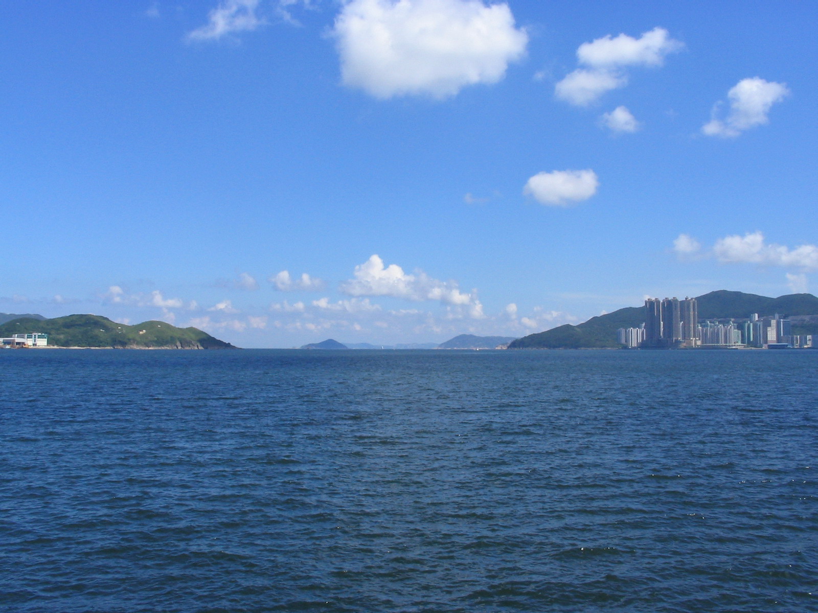
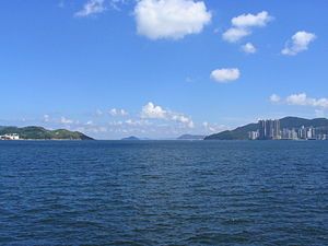 View of Tathong Channel, with Fat Tong Chau on the left and Siu Sai Wan and Cape Collinson on the right.
Tathong Channel(大東門), also known as Nam Tong Hoi Hap (Chinese: 藍塘海峽), refers to the eastern sea waters in Hong Kong leading into Victoria Harbour through Lei Yue Mun, bounded by Junk Island (Fat Tong Chau) and Tung Lung Chau in the east, and Hong Kong Island in the west.
Coordinates: 22°15′42″N 114°15′59″E / 22.26167°N 114.26639°E
Categories:- Channels of Hong Kong
- Hong Kong geography stubs
Wikimedia Foundation. 2010.