- Ono San Pietro
-
Ono San Pietro
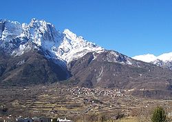
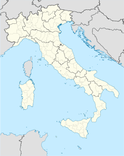
Dò— Comune — Comune di Ono San Pietro Ono San Pietro's panorama Location of Ono San Pietro in Italy Coordinates: 46°01′04″N 10°19′45″E / 46.01778°N 10.32917°ECoordinates: 46°01′04″N 10°19′45″E / 46.01778°N 10.32917°E Country Italy Region Lombardy Province Province of Brescia (BS) Area - Total 13.94 km2 (5.4 sq mi) Elevation 516 m (1,693 ft) Population - Total 927 - Density 66.5/km2 (172.2/sq mi) Demonym Onesi Time zone CET (UTC+1) - Summer (DST) CEST (UTC+2) Postal code 25050 Dialing code 0364 Patron saint Sant'Alessandro Website Official website Ono San Pietro (Dò in camunian dialect) is a town and comune in the province of Brescia, in Lombardy.
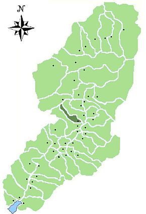
The comune is bounded by other communes of Capo di Ponte, Cerveno, Ceto, Paisco Loveno.
It is located near the Camonica valley and at the foot of Mt. Concarena.
 Angolo Terme · Artogne · Berzo Demo · Berzo Inferiore · Bienno · Borno · Braone · Breno · Capo di Ponte · Cedegolo · Cerveno · Ceto · Cevo · Cimbergo · Cividate Camuno · Corteno Golgi · Costa Volpino · Darfo Boario Terme · Edolo · Esine · Gianico · Incudine · Losine · Lovere · Lozio · Malegno · Malonno · Monno · Niardo · Ono San Pietro · Ossimo · Paisco Loveno · Paspardo · Pian Camuno · Piancogno · Pisogne · Ponte di Legno · Prestine · Rogno · Saviore dell'Adamello · Sellero · Sonico · Temù · Vezza d'Oglio · Vione
 Categories:
- Cities and towns in Lombardy
- Communes of the Province of Brescia
Wikimedia Foundation. 2010.


