Körös River

Körös River
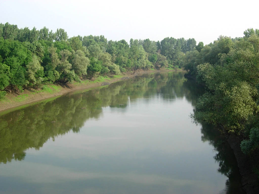
Körös
Criș
River
The Körös near Kunszentmárton
Countries Hungary
Counties Békés, Jász-Nagykun-Szolnok, Csongrád
Tributaries
 - left Crișul Alb
 - right Crișul Negru, Crișul Repede River
Towns Békés, Szarvas
Source Confluence of headwaters Crișul Alb and Crișul Negru
 - location near Gyula
 - elevation 85 m (279 ft)
 - coordinates 46°42′1″N 21°16′9″E / 46.70028°N 21.26917°E / 46.70028; 21.26917
Mouth Tisza
 - location near Csongrád
 - elevation 80 m (262 ft)
 - coordinates 46°43′2″N 20°11′18″E / 46.71722°N 20.18833°E / 46.71722; 20.18833
Length 91.3 km (57 mi)

Körös (Romanian: Criș, German: Kreisch) is the name of a 195 km long river in eastern Hungary. It is formed at the confluence of the rivers Fehér-Körös ( Romanian: Crișul Alb) and Fekete-Körös ( Romanian: Crișul Negru) near Gyula. The Sebes-Körös ( Romanian: Crișul Repede) flows into the Körös near Gyomaendrőd. All three rivers have their source in the Apuseni Mountains, in Romania. The Körös flows into the Tisza River near Csongrád.

It was known in antiquity as the Crisus, Crisia, Grisia, or Gerasus, while an archaic German name is Kreisch.


Wikimedia Foundation. 2010.

Игры ⚽ Нужно решить контрольную?

Look at other dictionaries:

  • Körös — is a Hungarian toponym with several meanings: Körös or Criş, a river that flows into Tisza, was used for an archeological site of the Starcevo Körös culture Hungarian name for Križevci, Croatia, was used for the historic Belovár Körös county This …   Wikipedia

  • Körös Apartman — (Дьюла,Венгрия) Категория отеля: Адрес: 5700 Дьюла, Bodoky u. 11. I/4., Венгрия …   Каталог отелей

  • Körös-ér — Infobox River | river name = Körös ér Kereš Кереш caption = origin = west of Jánoshalma, south Hungary mouth = Tisa river at Adorjan, Vojvodina, Serbia basin countries = Hungary, Serbia length = 70 km elevation = discharge = watershed =The Körös… …   Wikipedia

  • Crişul Negru River — Geobox River name =Crişul Negru River native name = other name =(Fekete Körös) other name1 = image size = image caption = country type = Countries state type = region type = district type = Counties city type = Villages country = Romania Hungary… …   Wikipedia

  • Crișul Negru River — Coordinates: 46°42′1″N 21°16′9″E / 46.70028°N 21.26917°E / 46.70028; 21.26917 …   Wikipedia

  • Crişul Alb River — Coordinates: 46°42′1″N 21°16′9″E / 46.70028°N 21.26917°E / 46.70028; 21.26917 …   Wikipedia

  • Crişul Repede River — Coordinates: 46°55′13″N 20°58′39″E / 46.92028°N 20.9775°E / 46.92028; 20.9775 …   Wikipedia

  • Criş River (Târnava Mare tributary) — For the Tisza tributary with the same Rumanian name, see Körös River. Criş River River Countries Romania …   Wikipedia

  • Roşia River (Crişul Negru) — Geobox River name =Roşia River native name = other name =(Valea Roşie River) other name1 = image size = image caption = country type = Countries state type = region type = district type = Counties city type = Villages country = Romania country1 …   Wikipedia

  • Tisza River — or Tisa River River, western Ukraine, eastern Hungary, and northern Serbia and Montenegro. Rising in the Carpathian Mountains of western Ukraine, it flows west, forming a section of the Ukraine Romania border, then continues southwest across… …   Universalium

Share the article and excerpts

Direct link
Do a right-click on the link above
and select “Copy Link”