- Mount Olympus Ski Area
-
Mount Olympus Ski Area 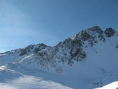
Mt Olympus, on the LHSLocation Canterbury NZ Nearest city Windwhistle Coordinates 43°11′33″S 171°36′23″E / 43.192446°S 171.606344°ECoordinates: 43°11′33″S 171°36′23″E / 43.192446°S 171.606344°E Top elevation 1,875 m (6,152 ft) Base elevation 1,425 m (4,675 ft) Runs Backcountry Lift system 3 Rope tow Terrain parks 0 Snowmaking No Night skiing Yes Web site http://www.mtolympus.co.nz/ Mount Olympus Ski Area, dubbed "playground of the gods", is a club skifield in Craigieburn Range, on New Zealand's South Island. Near the town of Windwhistle, and in the vicinity of other club fields such as Mount Cheeseman and Broken River, it is approximately 2 hours' drive from Christchurch. The skifield is run by the Windwhistle Ski Club. Ranging in elevation from 1430m to 1880m, the terrain distribution is 10% beginner, 55% intermediate and 35% advanced. There are four rope tows, and with a bit of walking, 60 hectares of terrain is available.
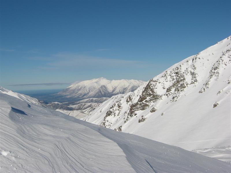
 View to the SE, from the Ski Area
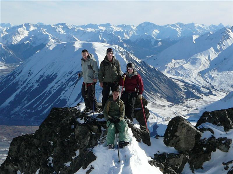
 View from Ardys to the West, Aoraki Mt Cook in the middle Background.
External links
- Official website
- http://www.chillout.co.nz/mountains.asp?DocID=1
 Media related to Mount Olympus Ski Area at Wikimedia Commons
Ski areas and resorts in New Zealand Commercial skifields Club skifields North IslandMount RuapehuSouth IslandCanterburyBroken River · Craigieburn Valley · Fox Peak · Hanmer Springs · Mount Cheeseman · Mount Olympus · Temple BasinOtago1: Indoor ski slope 2: Former club skifield 3: Heliskiing 4: Cross-country skiing 5: Terrain park 6: ClosedClub skifields in New Zealand North Island: Manganui · Tukino
South Island: Broken River · Mount Cheeseman · Craigieburn Valley · Fox Peak · Hanmer Springs · Mount Olympus · Temple Basin · Rainbow Ski Area · Awakino Ski Area
Former Club Fields: Porters · Mount Potts · Mount Hutt · Mount Robert
Categories:- Ski areas and resorts in New Zealand
- Ski area and resort stubs
- Canterbury Region geography stubs

Wikimedia Foundation. 2010.