- Metzad
-
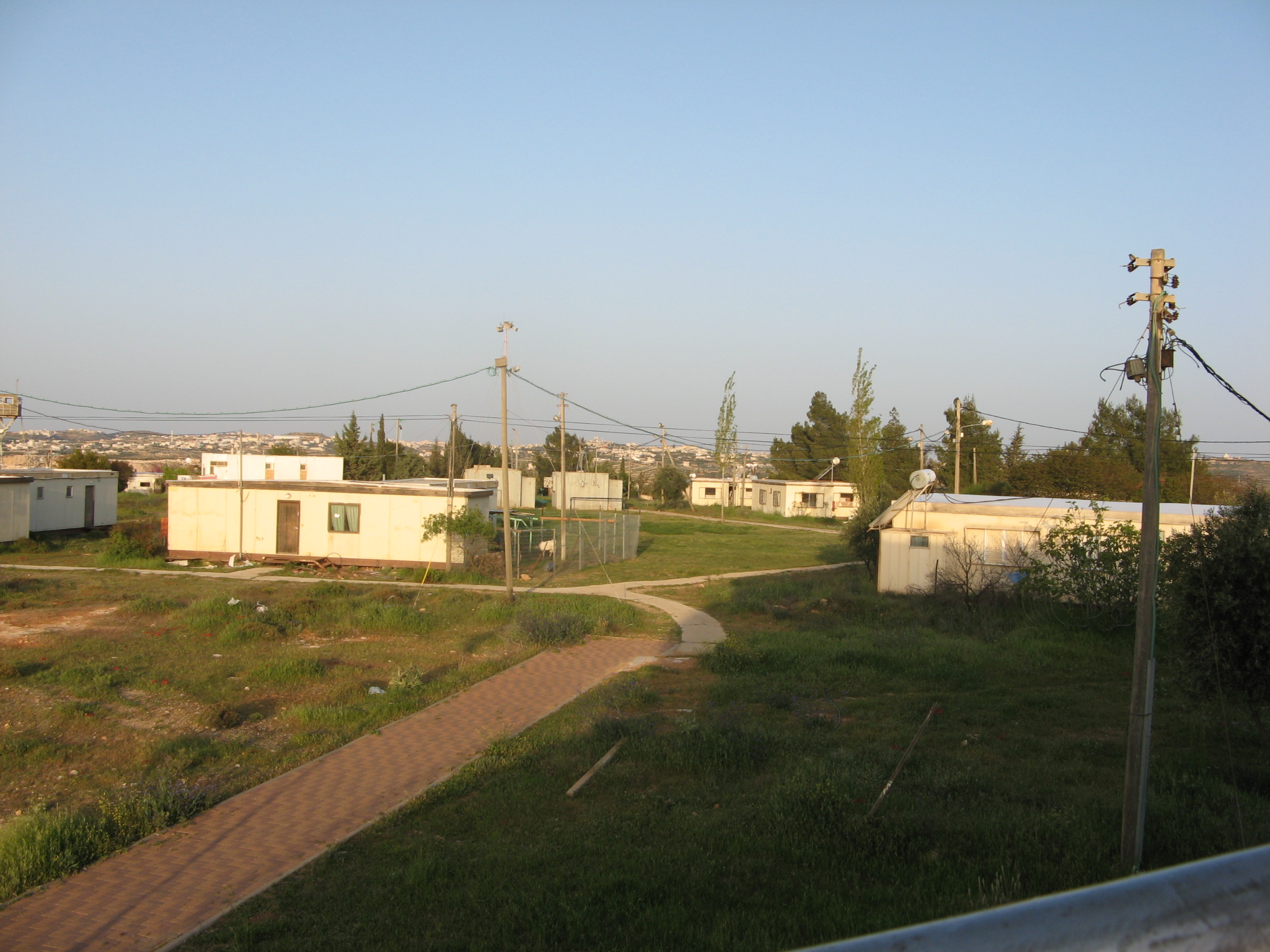
 Metzad, 2007
Metzad (Hebrew: מיצד), also Asfar, is a Haredi communal settlement (Yishuv) and Israeli settlement in the West Bank. It falls under the municipal jurisdiction of the Gush Etzion Regional Council.[1]
History
Metzad was established in 1984 by immigrants from the United States, the United Kingdom, South Africa and France. The settlement was built on the site of a Nahal paramilitary outpost called Nahal Asfar established in 1983. The international community considers Israeli settlements in the West Bank illegal under international law, but the Israeli government disputes this.[2]
The first structures on Metzad were erected by the Israel Defense Forces's civil corps of engineers. They were handed over for civilian use at the time of the creation of Metzad in 1984. Initially, the road up to the Yishuv was unpaved, water was brought by truck, and electricity was sporadically provided by a generator.
The next phase of development involved the placement of sixty caravans to serve as homes, offices, security compound, award-winning Preschool facilities, Clinic, Youth Center, Library, Weaving and Art Studios, and Computer Center.
Construction of a new neighborhood of twenty-five permanent homes began in 1992. This included the building of a Family Health Center, an industrial building housing both the Weaving Studio and a Simcha Hall for special events and an outdoor basketball court.
Metzad is the southernmost settlement in the Gush Etzion bloc, and is one of its three Haredi settlements, the others being Betar Illit and Ma'ale Amos. The settlement contains one Kollel: Metzudat David.
The synagogue in Metzad is the highest building in the yishuv. The second floor offers a panoramic view of the Judean Mountains, the Dead Sea and Jerusalem.[3]
References
- ^ http://www.gush-etzion.org.il/communities.asp
- ^ "The Geneva Convention". BBC News. 10 December 2009. http://news.bbc.co.uk/2/hi/middle_east/1682640.stm. Retrieved 27 November 2010.
- ^ About Metzad
Kibbutzim Communal settlements Alon Shvut · Bat Ayin · Gvaot · Elazar · Har Gilo · Carmei Tzur · Kedar · Kfar Eldad · Ma'ale Amos · Metzad · Neve Daniel · Nokdim (El David) · TekoaOutposts Coordinates: 31°35′9.05″N 35°11′14.05″E / 31.5858472°N 35.1872361°E
Categories:- Gush Etzion Regional Council
- Religious Israeli settlements
- Populated places established in 1984
- Gush Etzion
- Israel geography stubs
Wikimedia Foundation. 2010.