- Venezuelan Coastal Range
-
The Venezuelan Coastal Range (Spanish Cordillera de la Costa; also known as Serranía de la Costa) is a mountain range that runs along the central and eastern portions of Venezuela's northern coast. The range is a northeastern extension of the Andes Mountains, and is also known as the Maritime Andes.
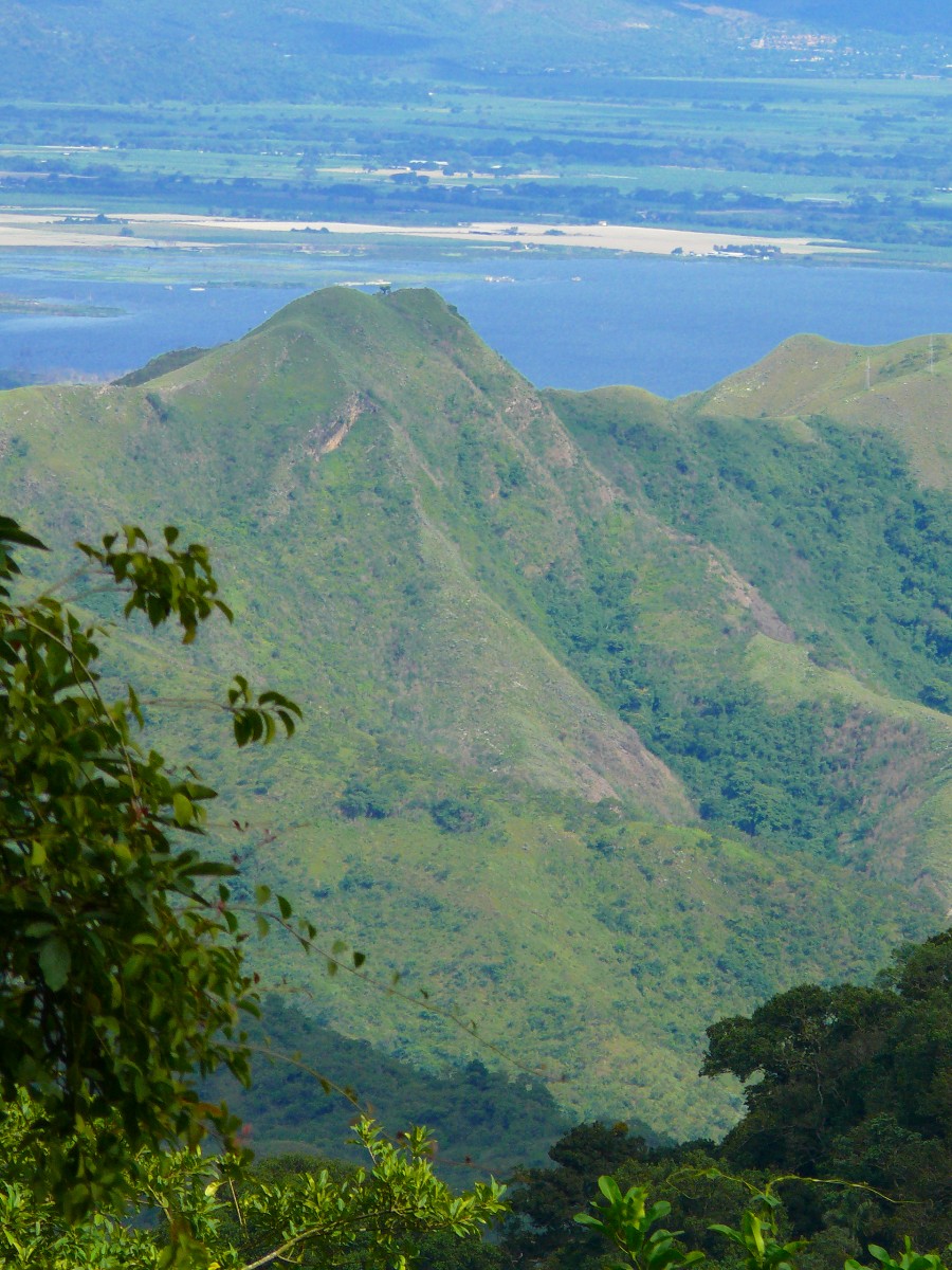
 Coastal Range of Venezuelan Andes from biological station Rancho Grande
Geography
The Coastal Range actually consists of two parallel ranges, which run east and west along the coast of the Caribbean Sea. The Cojedes River separates the western end of Coastal Range from the Cordillera de Mérida to the southeast. The range is divided into eastern and western sections by the wide bay between Cape Codera and Cumaná.
In eastern section of the range, the parallel ranges are known as the Serranía del Litoral, which runs along the Caribbean coast, and the Serranía del Interior. The valley between these two ranges, which includes Lake Valencia, the valleys of Caracas, and the Tuy River at its eastern end, is the most densely peopled part of Venezuela. Caracas lies in a valley between two branches of the Serranía del Litoral: the Cerro El Ávila to the north, and smaller hills to the south.
Both the littoral and interior ranges reappear between Cumaná and the Gulf of Paria to form the eastern section of the cordillera. The Littoral range forms the Araya Peninsula to the west and the Paria Peninsula to the west, and extends across the straits known as the Dragon's Mouths to form the Northern Range of the island of Trinidad.
Ecoregions
The lower elevations of the mountains are mostly covered by the La Costa xeric shrublands ecoregion of the Deserts and xeric shrublands Biome. The Araya and Paria xeric scrub occupies the arid zones of Araya and Paria peninsulas, with the exception of the montane areas of the Paria Peninsula, which are included in the La Costa xeric shrublands ecoregion. The Araya and Paria xeric scrub also includes Isla Margarita and extends south on to the mainland to Cumaná.
At elevations from 600 – 2675 meters lie the humid evergreen Cordillera de la Costa montane forests ecoregion of the montane Tropical and subtropical moist broadleaf forests Biome, which form eleven discontinuous enclaves across the high summits of the eastern and western portions of the range.
External links
- Araya and Paria xeric scrub (WWF)
- Cordillera la Costa montane forests (WWF)
- La Costa xeric shrublands (WWF)

 This article incorporates text from a publication now in the public domain: Chisholm, Hugh, ed (1911). Encyclopædia Britannica (11th ed.). Cambridge University Press.Categories:
- Mountain ranges of Venezuela
- Andes
Wikimedia Foundation. 2010.