- Myitkyina Airport
-
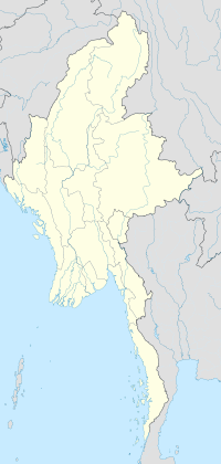
Myitkyina Airport IATA: MYT – ICAO: VYMK Location of airport in Burma Summary Airport type Public Serves Myitkyina Location Myitkyina, Burma Elevation AMSL 145 m / 475 ft Coordinates 25°23′1.09″N 097°21′06.91″E / 25.3836361°N 97.3519194°E Runways Direction Length Surface m ft 04/22 1,859 6,100 Asphalt Myitkyina Airport is an airport in Myitkyina, Burma (IATA: MYT, ICAO: VYMK).
Contents
Airlines and destinations
Airlines Destinations Air Bagan Mandalay, Putao Myanma Airways Mandalay, Putao History
Built before World War II as Myitkyina Airfield, the airfield was captured by the Imperial Japanese Army on 8 May 1942 during the Japanese conquest of Burma. During the occupation, it was used by the Japanese Air Force as a fighter base, attacking Allied aircraft flying "the Hump" transport supply missions between India and China.
The airfield was attacked on numerous missions by Tenth Air Force and Royal Air Force fighter and bombers until being driven from the Myitkyina area by Merrill's Marauders (officially named the 6th Ranger Battalion-5307th Composite Unit (provisional)) on 17 May 1944.
Once in Allied hands, the 3d Combat Cargo Group moved in with C-47 Skytrains and used Myitkyina as a combat resupply airfield, air-dropping pallets of supplies and ammunition to the advancing Allied forces on the ground. In January 1945, the 80th Fighter Group flew P-47 Thunderbolts from the field until 24 May 1945. The 1st Combat Cargo Group then moved in with C-47s and remained until August when elements of the 4th Combat Cargo Group replaced them. The 4th CCG operated supply and passenger flights between the airfield and China until December 1945 when American forces pulled out of the area at the end of the war.
References
 This article incorporates public domain material from websites or documents of the Air Force Historical Research Agency.
- Maurer, Maurer. Air Force Combat Units Of World War II. Maxwell Air Force Base, Alabama: Office of Air Force History, 1983. ISBN 0-89201-092-4
- www.pacificwrecks.com - Myitkyina keyword search
- USAFHRA document search Myitkyina
External links
Airfields Burma India 
Units Groups Air Commando Bombardment 7th Bombardment · 12th Bombardment · 341st BombardmentCombat Cargo 1st Combat Cargo · 3d Combat Cargo · 4th Combat CargoFighter Reconnaissance Troop Carrier 443d Troop CarrierSquadrons 24th Combat Mapping · 426th Night Fighter Squadron · 427th Night Fighter SquadronUnited States Army Air Forces
First · Second · Third · Fourth · Fifth · Sixth · Seventh · Eighth · Ninth · Tenth · Eleventh · Twelfth · Thirteenth · Fourteenth · Fifteenth · TwentiethCategories:- Airports in Burma
- Airfields of the United States Army Air Forces in Burma
- Asian airport stubs
- Burma geography stubs
Wikimedia Foundation. 2010.

