- Ariguaní
Infobox City
official_name = Ariguaní
nickname =
motto =
imagesize =
image_caption =
image_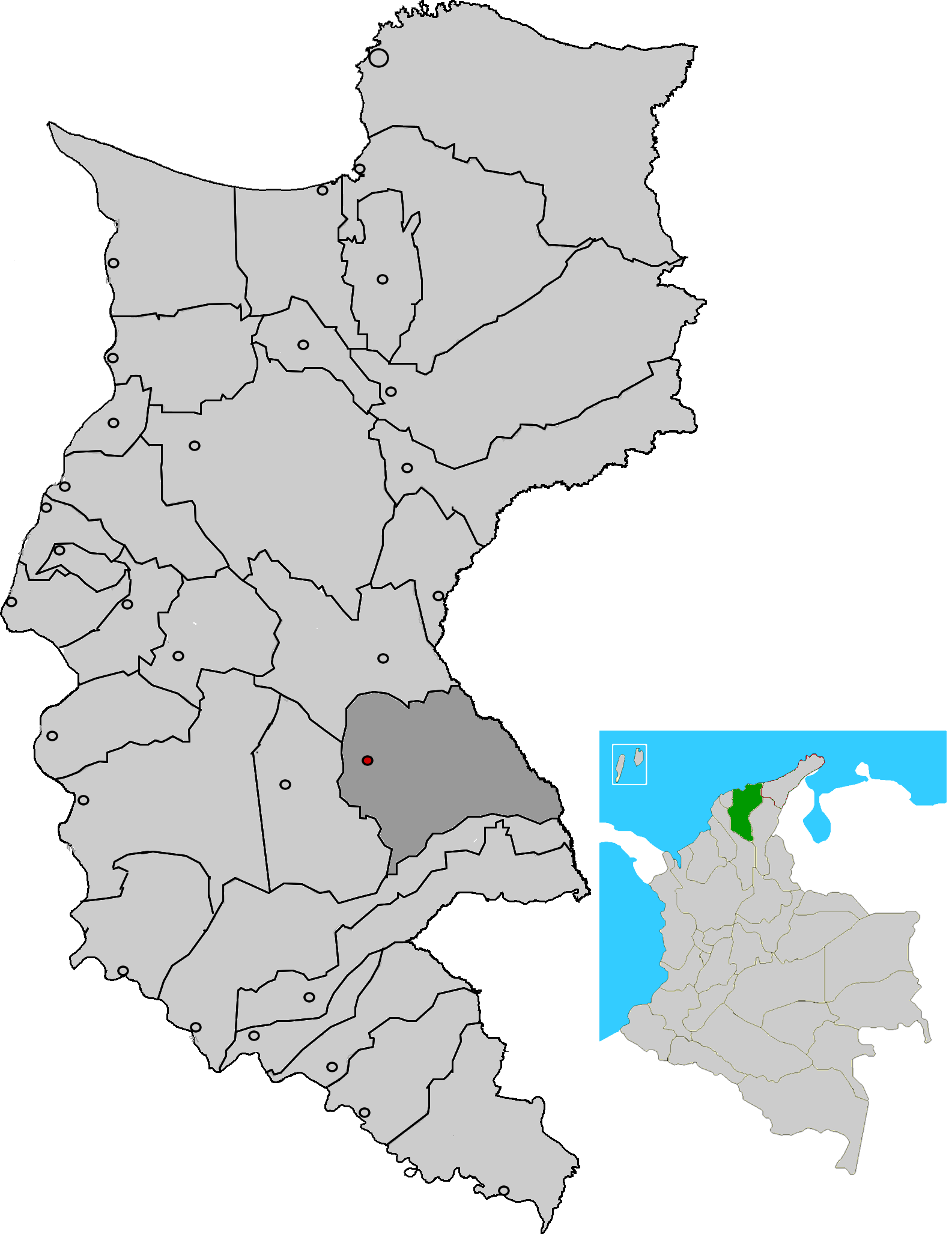
mapsize = 200px
map_caption = Location of the municipality and town of Ariguaní in the Department of Magdalena.
subdivision_type =Country
subdivision_type1 = Region
subdivision_type2 = Department
subdivision_name =Colombia
subdivision_name1 = Caribbean
subdivision_name2 = Magdalena
leader_title =Mayor
leader_name =
established_title = Foundation
established_date =
area_magnitude =
area_total_sq_mi =
area_total_km2 =
area_land_sq_mi =
area_land_km2 =
area_water_sq_mi =
area_water_km2 =
area_water_percent =
area_urban_sq_mi =
area_urban_km2 =
area_metro_sq_mi =
area_metro_km2 =
population_as_of =2005
population_note = [ [http://www.dane.gov.co/files/censo2005/regiones/magdalena/ariguani.pdf es icon DANE 2005 Census: Ariguaní] ]
population_total = 30568
population_metro =
population_urban =
population_density_km2 =
population_density_sq_mi =
timezone =
utc_offset = -5
timezone_DST =
utc_offset_DST =
latd= |latm= |lats= |latNS=
longd= |longm= |longs= |longEW=
elevation_m =
elevation_ft =
website =
[http://ariguani-magdalena.gov.co/sitio.shtml www.ariguani-magdalena.gov.co]
footnotes =Ariguaní is a municipality of the
Colombia n Department of Magdalena. The municipality seat is the town ofEl Difícil .References
External links
*es icon [http://ariguani-magdalena.gov.co/sitio.shtml Ariguani official website]
Wikimedia Foundation. 2010.