- Uribia, La Guajira
Infobox City
official_name = Uribia
nickname =
motto = "Capital Indigena de Colombia"
(Indigenous capital of Colombia)
imagesize = 250px
image_caption = Church in downtown Uribia.
image_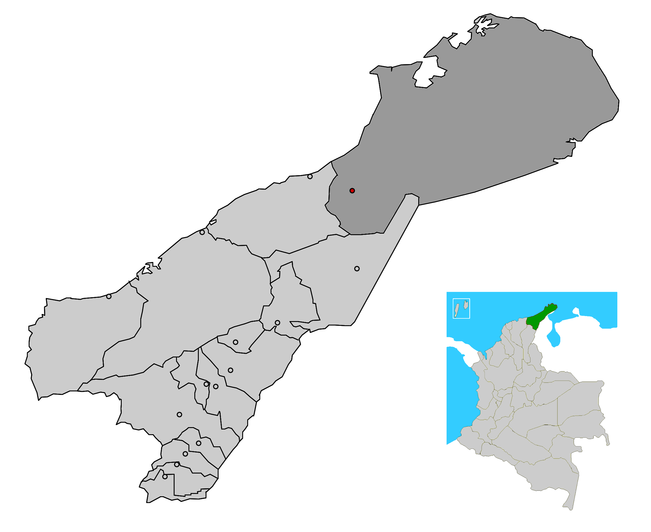
mapsize = 250px
map_caption = Location of the town and municipality of Uribia in the Department of La Guajira.
subdivision_type =Country
subdivision_type1 = Region
subdivision_type2 = Department
subdivision_name =Colombia
subdivision_name1 = Caribbean
subdivision_name2 = La Guajira
leader_title =Mayor
leader_name =Cielo Redondo Mindiola (L) [ [http://www.registraduria.gov.co/reselec2007_esc/1028/x.html es icon Colombian Registry of the Civil State: 2007 election results] ]
established_title = Foundation
established_date =March 1 ,1935
area_magnitude =
area_total_sq_mi =
area_total_km2 =
area_land_sq_mi =
area_land_km2 =
area_water_sq_mi =
area_water_km2 =
area_water_percent =
area_urban_sq_mi =
area_urban_km2 =
area_metro_sq_mi =
area_metro_km2 =
population_as_of = 2005
population_note = [ [http://www.ocaribe.org/downloads/grupos/economia_competitividad/estudio_zif_guajira_venezuela.pdf es icon Observatorio del Caribe Colombiano: Grupo Regional de investigación en economía y competitividad en el Caribe colombiano by Weildler Guerra, Paola Quintero, Jorge Quintero and Ana María Maldonado] ]
population_total = 116674
population_metro =
population_urban =
population_density_km2 =
population_density_sq_mi =
timezone =
utc_offset = -5
timezone_DST =
utc_offset_DST =
latd= |latm= |lats= |latN=
longd= |longm= |longs= |longW=
elevation_m =
elevation_ft =
website =
[http://www.municipiodeuribia.gov.co/ www.municipiodeuribia.gov.co/]
footnotes = *Uribia is town and municipality of the
Colombia n Department of La Guajira. It is the youngest municipality of this Department since the year 2000. Northern Zone of theCerrejón coal mines are located in this municipality. The municipality also contains theSerranía de Macuira mountain range which is an isolated low altitude mountain range in the middle ofLa Guajira Desert . One third of this mountain range is also a National Natural Park of Colombia.Geography
The Muncipality of Uribia covers most of the northern area of the
Guajira Peninsula , the northern most part ofSouth America . Uribia borders to the north and west with theCaribbean sea which surround most more than half the municipality; to the east Uribia slightly borders with theBolivarian Republic of Venezuela ; to the south with the municipality ofMaicao and southwest with the municipality ofRiohacha .The Upper Guajira, is semi-arid presenting clay formations with scarce vegetation such as cactus and other
xerophile s. TheSerrania de Macuira lays in the Middle of the upper region presenting three predominant hills 650 m over sea level such as the Macuira, Jarará and La Teta. [ [http://www.todacolombia.com/departamentos/laguajira.html es icon todacolombia.com: La Guajira] ]History
Evangelization
The process of
evangelization s of the Wayuu people restarted in 1887 with the return of theCapuchin friars under reverend friar José María de Valdeviejas. In 1905,Pope Pius X created theVicariate of La Guajira and as first Vicar, friar Atanasio Vicente Soler y Royo in an attempt to "civilize" the Wayuu people. [ [http://www.lablaa.org/blaavirtual/modosycostumbres/gumv/gumv07.htm es icon Luis Angel Arango Library: The Capuchins mission and the Wayuu Culture] ]The friars the created the orphanages for Wayuu children beginning with the La Sierrita orphanage built in the Sierra Nevada de Santa Marta mountains in 1903; followed by the San Antonio orphanage in 1910 located by the
Calancala River , Nazareth orphanage in the Serrania de Macuira mountains in 1913 creating a direct influence over theRancheria s of Guarrachal, El Pájaro, Carazúa, Guaraguao, Murumana, Garra patamana and Karraipía. While Nazareth had some control over the rancherías of Taroa, Maguaipa, Guaseipá and Alpanapause. The friars constantly visited the settlements inviting to attend mass. Wayuu children in the orphanage were educated with traditional European customs. Conflicts between the Wayuu people and the Colombian government decreased since then. In 1942 the village of Uribia celebrated for the first timeChristmas andNew Year's Eve . [ [http://www.lablaa.org/blaavirtual/modosycostumbres/gumv/gumv07.htm es icon Luis Angel Arango Library: The Capuchins mission and the Wayuu Culture] ]Official foundation
Uribia was founded officially on
March 1 ,1935 by Captain Eduardo Londoño Villegas in honor ofColombian Liberal Party leaderRafael Uribe Uribe , prior to this the village was named "Chitki" inWayuu language . The main plaza was crated and named afterFrancisco de Paula Santander one of the leaders of the Colombian independence from Spain. [ [http://www.lablaa.org/blaavirtual/modosycostumbres/gumv/gumv06.htm es icon Luis Angel Arango Library: Foundation of Uribia] ]Capital of the Special Commissary of La Guajira
Uribia became a regional capital town of the Special Commissary of La Guajira until 1954, when the National Intendency of La Guajira was created and the capital transferred to
Riohacha . [ [http://www.banrep.gov.co/blaavirtual/revistas/credencial/sept2001/ciudades.htm es icon Revista Credencial Historia. (Bogotá - Colombia). Edition 141 of September, 2001: Foundation of Colombian cities and towns] ]Culture
Uribia is predominantly inhabited by indigenous peoples pertaining to the
Wayuu ethnic group. Cultural activities are directly related to them. The town celebrates theFestival of the Wayuu Culture fromMay 31 toJune 1 every year. [ [http://www.sinic.gov.co/SINIC/ColombiaCultural/ColCulturalBusca.aspx?AREID=3&SECID=8&IdDep=44&COLTEM=215 es icon National System for Cultural Information: Festival of the Wayuu Culture] ]Transportation
*
Puerto Bolívar Airport Gallery
References
External links
*es icon [http://www.laguajira.gov.co/municipios/uribia.htm Gobernacion de La Guajira - Uribia]
*es icon [http://www.lablaa.org/blaavirtual/modosycostumbres/gumv/indice.htm Luis Angel Arango Library: Guajira visual memory]
Wikimedia Foundation. 2010.