- Pennsylvania Route 588
-
PA Route 588
Route information Maintained by PennDOT Length: 16.1 mi[1] (25.9 km) Major junctions West end:  PA 51 in Chippewa Township
 PA 18 in Beaver Falls
 PA 65 in North Sewickley Township
 PA 288 in Zelienople
East end: 
 US 19 / PA 68 in Zelienople
Highway system Roads in Pennsylvania
Interstate • US • State • Legislative←  PA 582
PA 590  →
→Pennsylvania Route 588 (PA 588) is an east–west state highway in the Western Pennsylvania counties of Beaver and Butler. It travels sixteen miles between PA 51 in Chippewa Township, Beaver County and PA 288 in Zelienople. Other communities through which it passes include the city of Beaver Falls and the borough of Eastvale.
Contents
Route description

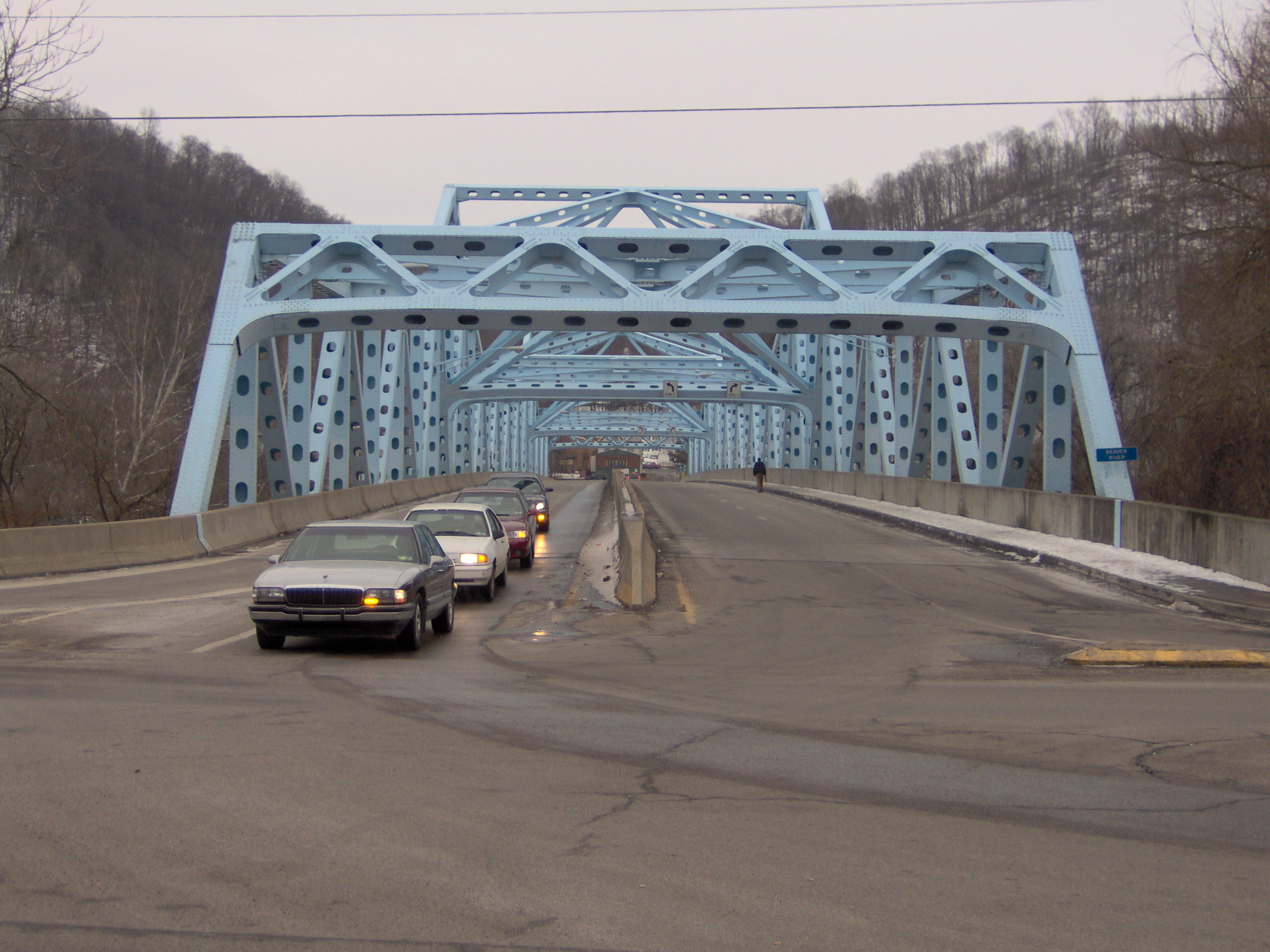
PA 588 begins at an intersection with PA 51 in Chippewa Township, Beaver County, heading southeast on two-lane undivided Darlington Road. The road briefly runs to the northeast of PA 51 before turning east into residential areas, passing over I-376. The route heads southeast through more neighborhoods before turning northeast onto Steffin Hill Road and crossing into White Township. PA 588 passes through Steffens Hill and runs east through wooded areas near White Township Park. The road passes a few homes before passing under a Norfolk Southern railroad line, at which point it heads into Beaver Falls. The route turns southeast onto 24th Street, curving east into commercial areas. PA 588 intersects PA 18 and turns north to form a concurrency with that route on 7th Avenue, a two-lane divided highway that passes homes. PA 588 splits from PA 18 by turning east onto four-lane divided 4th Street. The route comes to the Eastvale Bridge which carries it over a CSX railroad line before crossing the Beaver River into Eastvale and passing over a Norfolk Southern railroad line. PA 588 turns north onto two-lane undivided 2nd Avenue East and passes several homes. The road heads into North Sewickley Township and becomes Bennetts Run Road, heading into forested areas and turning east. The route heads through more wooded areas with some residences and turns to the northeast.[1][2]
PA 588 turns east and crosses PA 65, at which point it becomes Concord Church Road and passes through a mix of farmland and woodland with some homes. The route passes under I-76 (Pennsylvania Turnpike) and heads into open agricultural areas with occasional residences. The road heads to the southeast and runs between farms to the north and woods to the south before continuing into forests. PA 588 heads east into a mix of farms and woods, crossing into Marion Township and becoming an unnamed road that passes through Barrisville. The route curves to the northeast and enters open agricultural areas, curving to the northwest before a turn to the north. PA 588 continues into areas of farms and woods with some homes, turning to the east. The road continues through rural areas with some development, curving southeast as it heads into more wooded surroundings and runs to the south of Connoquenessing Creek, heading east again. The route runs near homes and industrial areas before coming to a bridge over a Buffalo and Pittsburgh Railroad line and the Connoquenessing Creek, at which point it continues into Franklin Township. At this point, PA 588 passes between the Zelienople Municipal Airport to the north and industry to the south.[1][2] The route enters Zelienople in Butler County and comes to an intersection with PA 288, at which point PA 588 signage ends. At this point, PA 588 becomes an unsigned highway that follows PA 288 east along West New Castle Street. The road crosses Connoquenessing Creek again and heads into industrial areas, crossing a Buffalo and Pittsburgh Railroad line. PA 288/PA 588 continues east through residential areas to its eastern terminus at US 19/PA 68 in the commercial downtown of Zelienople.[1][3]
Major intersections
County Location Mile[1] Destinations Notes Beaver Chippewa Township 0.0 PA 51 (Constitution Boulevard)Beaver Falls PA 18 south (7th Avenue)West end of PA 18 overlap PA 18 north (7th Avenue)East end of PA 18 overlap North Sewickley Township PA 65 (Mercer Road)Butler Zelienople PA 288 west (West New Castle Street)Eastern terminus of PA 588 signage, west end of PA 288 overlap 16.1 US 19 / PA 68 (Main Street)East end of PA 288 overlap 1.000 mi = 1.609 km; 1.000 km = 0.621 mi References
- ^ a b c d e Google, Inc. Google Maps – overview of Pennsylvania Route 588 (Map). Cartography by Google, Inc. http://maps.google.com/maps?saddr=PA+51+and+PA+588&daddr=US+19+and+PA+588&hl=en&sll=40.795748,-80.1511&sspn=0.030604,0.084543&geocode=FXsfbgIdp581-ykJ0ene23M0iDFZ3_J1JSIDJA%3BFXd-bgIdPDQ5-ynTV-4qZ340iDEcQaSqZI_Qjg&mra=ls&t=h&z=12. Retrieved August 7, 2011.
- ^ a b PennDOT (2011). Beaver County, Pennsylvania Highway Map (Map). ftp://ftp.dot.state.pa.us/public/pdf/BPR_pdf_files/Maps/GHS/Roadnames/beaver_GHSN.PDF. Retrieved May 14, 2011.
- ^ PennDOT (2011). Butler County, Pennsylvania Highway Map (Map). ftp://ftp.dot.state.pa.us/public/pdf/BPR_pdf_files/Maps/GHS/Roadnames/butler_GHSN.PDF. Retrieved March 3, 2011.
External links
Categories:- State highways in Pennsylvania
- Transportation in Beaver County, Pennsylvania
- Transportation in Butler County, Pennsylvania

Wikimedia Foundation. 2010.