- La Altagracia Province
Infobox Province Dominican Republic
Name = La Altagracia
coat-of-arms = COA Of La Altagracia.jpg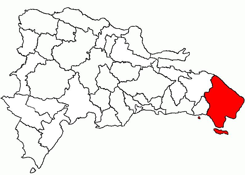
demonym = Higüeyano
established_date = 1961
Capital =Salvaleón de Higüey
capital_population = 319,741
capital_coor = 18_37_N_68_42_W_ 18° 37′ S 68° 42′ O
largest city =Punta Cana
largest city population = 325,244
Area = 3,010.34
area_rank = 2
area_percentage = 6.2
Population = 429,110
population_rank = 9
population_date = 2008
population_percentage = 2.1
governor = Pedro Rojas Morillo
Density = 60.5
ISO = 11
deputies = 4
municipalities = 2
districts = 4
website =La Altagracia (aka Higüey) is the easternmost province of the
Dominican Republic .Punta Cana is located on the eastern shores of this province.Until
1968 it included what is nowLa Romana Province .The name commemorates a painting, "Our Lady of La Altagracia", which was brought here from
Spain in the early 16th century.Miracle s are attributed to it.Municipalities and municipal districts
The province as of June 20 2006 is divided into the following municipalities ("
municipio s") and municipal districts ("distrito municipal" - D.M.) within them: [cite web |url=http://www.one.gob.do/index.php?option=com_docman&task=cat_view&gid=113|title=Listado de Codigos de Provincias, Municipio y Distritos Municipales, Actualizada a Junio 20 del 2006|author=Oficina Nacional de Estadistica, Departamento de Cartografia, Division de Limites y Linderos|language=Spanish|accessdate=2007-01-24]
*Salvaleón de Higüey
**Bávaro (D.M.)
**Punta Cana (D.M.)
**La Otra Banda (D.M.)
*Las Lagunas de Nisibon
*San Rafael del Yuma
**Bayahibe (D.M.)
**Boca del Yuma (D.M.)
*Isla Saona
*Isla Catalina The following is a sortable table of the municipalities and municipal districts with population figures as of the 2008 census. Urban population are those living in the seats ("cabeceras" literally heads) of municipalities or of municipal districts.
Rural population are those living in thedistrict s ("Secciones" literally sections) andneighborhood s ("Parajes" literally places) outside of them. [cite web |url=http://one.gob.do/censo/volumen_I_pdf.zip
format = PDF|title=VIII Censo 2002 Poplación y Vivienda|author=Oficina Nacional de Estadística|language=Spanish|accessdate=2007-01-24]For comparison with the municipalities and municipal districts of other provinces see the
list of municipalities and municipal districts of the Dominican Republic .References
External links
* [http://www.one.gob.do/ Oficina Nacional de Estadística, Statistics Portal of the Dominican Republic]
* [http://www.one.gob.do/index.php?option=com_docman&task=cat_view&gid=114 Oficina Nacional de Estadística, Maps with administrative division of the provinces of the Dominican Republic] , downloadable in PDF format
Wikimedia Foundation. 2010.