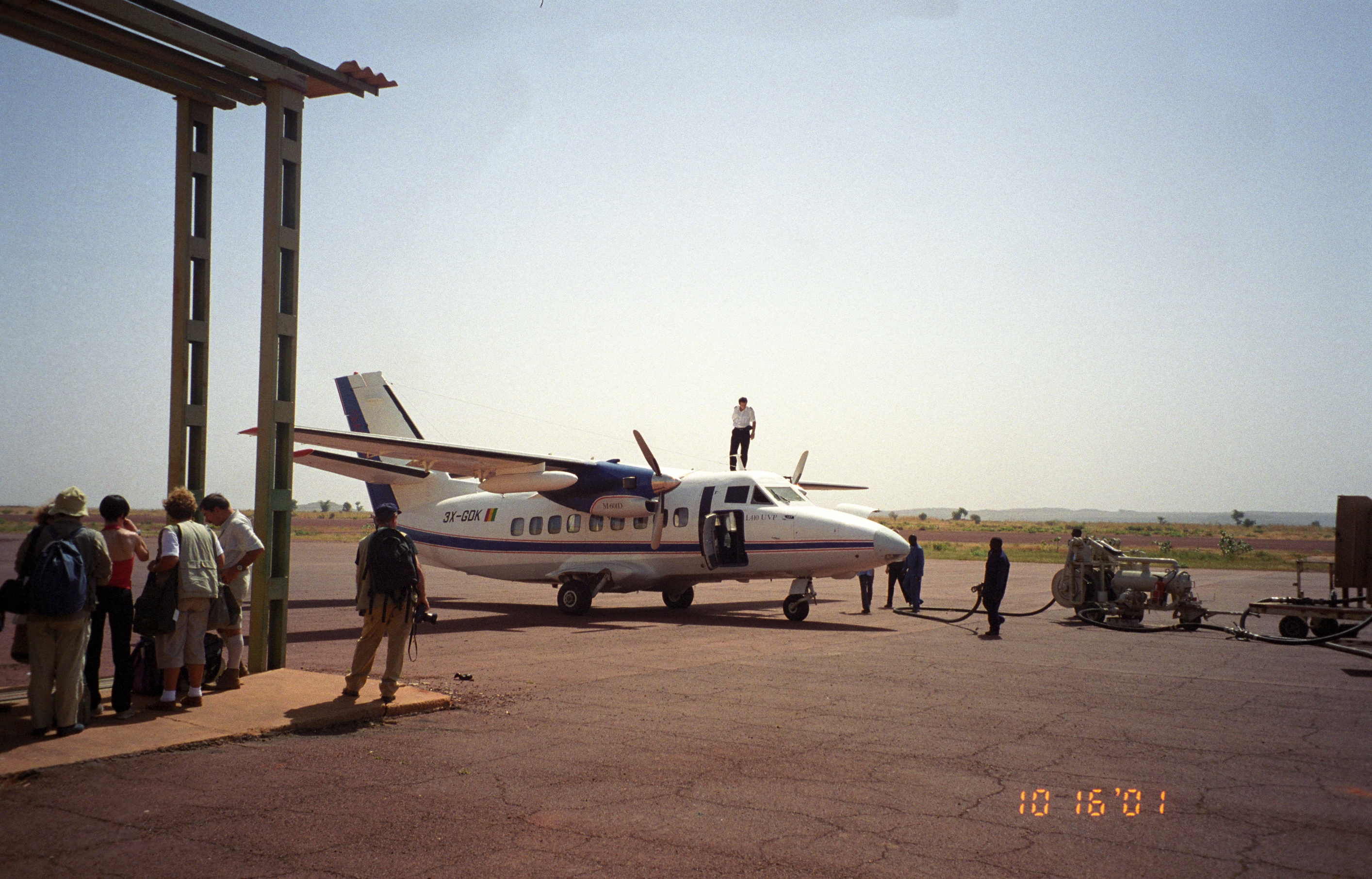
- Mopti Airport
-
Mopti Airport
Ambodedjo Airport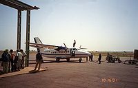
IATA: MZI – ICAO: GAMB Location of airport in Mali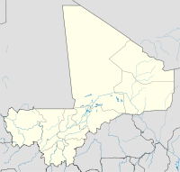
 MZI
MZISummary Airport type Public / Military Serves Mopti, Mali Location Sévaré Elevation AMSL 906 ft / 276 m Coordinates 14°30′46″N 004°04′46″W / 14.51278°N 4.07944°W Runways Direction Length Surface m ft 05/23 2,542 8,340 Asphalt Source: DAFIF[1][2] Mopti Airport (IATA: MZI, ICAO: GAMB), also known as Ambodedjo Airport, serves the city of Mopti, in the Mopti Region in Mali. It is located near the town of Sévaré.
Contents
Facilities
The airport resides at an elevation of 906 feet (276 m) above mean sea level. It has one runway designated 05/23 with an asphalt surface measuring 2,542 by 29 metres (8,340 × 95 ft).[1]
Airlines and destinations
Airlines Destinations Air Mali Bamako, Timbuktu References
- ^ a b Airport information for GAMB from DAFIF (effective October 2006)
- ^ Airport information for MZI at Great Circle Mapper. Source: DAFIF (effective Oct. 2006).
External links
 Airports in MaliBamako-Sénou International Airport · Gao International Airport · Ansongo Airport · Bafoulabé Airport · Bougouni Airport · Bourem Airport · Douentza Airport · Goundam Airport · Kayes Airport · Kéniéba Airport · Kidal Airport · Kita Airport · Kolokani Airport · Koutiala Airport · Bengassi Airport · Markala Airport · Ménaka Airport · Mopti Airport · Keibane Airport · Niafunké Airport · Nioro Airport · Sikasso Airport · Tessalit Airport · Timbuktu Airport · Yélimané AirportCategories:
- Airports in Mali
- West African airport stubs

Wikimedia Foundation. 2010.