- Muldoanich
-
Muldoanich Location 
 Muldoanich
Muldoanich shown within Scotland OS grid reference NL688940 Names Gaelic name Maol Dòmhnaich Meaning of name Duncan's rounded hill Area and summit Area 78 hectares (0.30 sq mi) Area rank 163= Highest elevation Cruachan na h-àin 153 m Population Population 0 Groupings Island group Uist and Barra Local Authority Comhairle nan Eilean Siar 

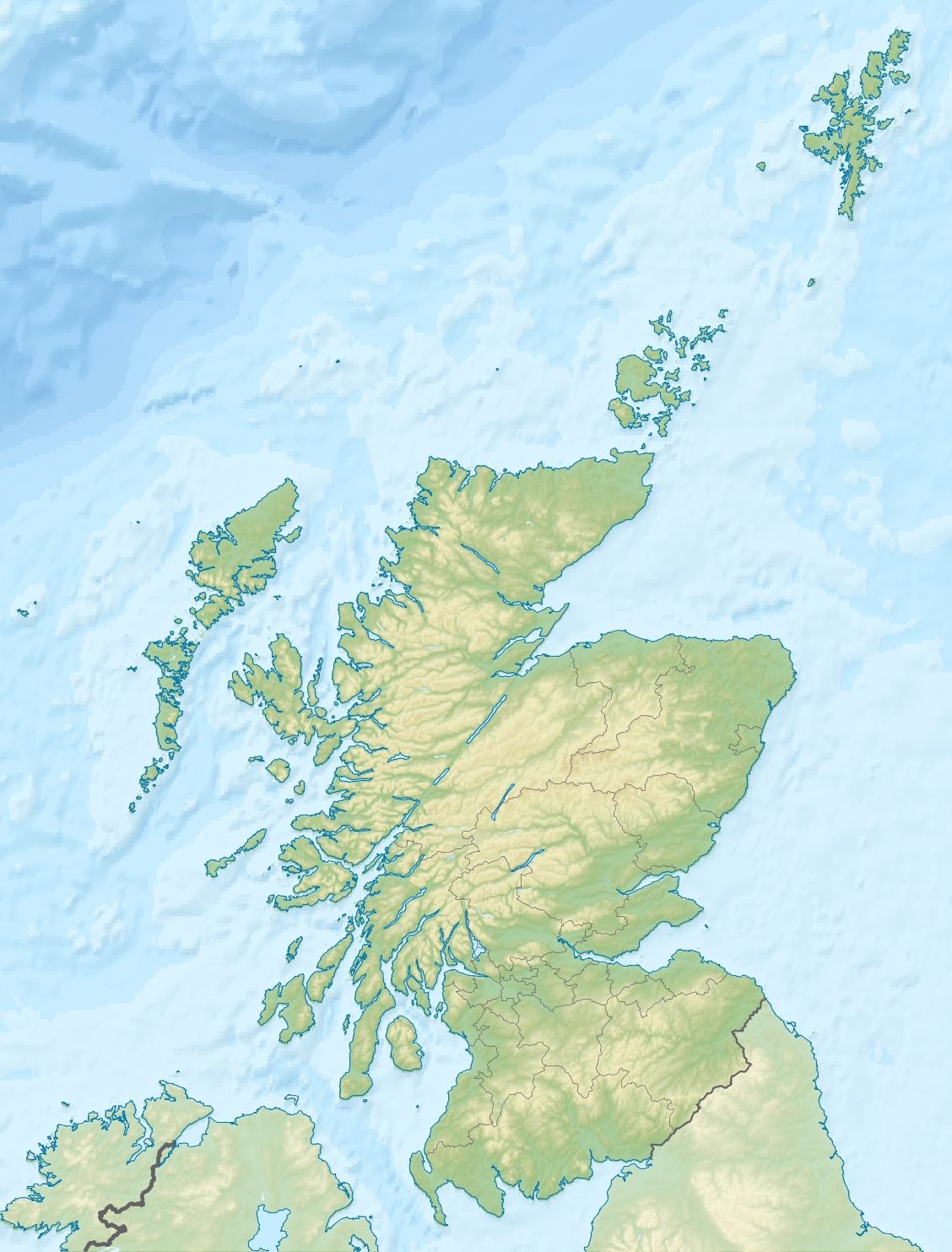
References [1][2][3][4] If shown, area and population ranks are for all Scottish islands and all inhabited Scottish islands respectively. Population data is from 2001 census. Muldoanich is one of the islands in the Barra Isles archipelago at the southern extremity of the larger island chain of the Outer Hebrides of Scotland.
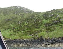 Muldoanich is covered in a luxuriant layer of deep moss.
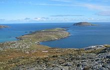
The island is 78 hectares (193 acres - about a third of a sq. mile) in area and rises to a maximum height of 153 metres (502 ft) at the peak of Cruachan na h-àin ("midday hill").[2]
Muldoanich stands about 4 kilometres (2.5 mi) south west of Castlebay, the main port on the island of Barra and it is a prominent landmark for the approaching ferry and other craft. It has no level ground and is uninhabited. There are no census records, but the southern headland of Vanish (meaning "headland of the house" or "sacred place" in Gaelic) may indicate habitation at some time in the past.[2]
Etymology
The name "Muldoanich" is probably the anglicised version of the Scottish Gaelic: Maol Dòmhnaich meaning "Duncan's rounded hill". Mul Domhnach meaning "Sunday island" is another possible derivation. Writing in the 16th century, Dean Munro referred to the island as "Scarp" and it appears as "Scarpa"on Blaeu's atlas of 1654.[2]
Martin Martin refers to "Muldonish" in his 1695 voyage around the Western Isles, stating "about a mile in circumference; it is high in the middle, covered over with heath and grass, and is the only forest here for maintaining the deer, being commonly about seventy or eighty in number."[5]
References
- ^ "Occasional Paper No 10: Statistics for Inhabited Islands" (28 November 2003) General Register Office for Scotland. Edinburgh. Retrieved 15 September 2007.
- ^ a b c d Haswell-Smith, Hamish (2004). The Scottish Islands. Edinburgh: Canongate. pp. 216-218. ISBN 1841954543.
- ^ Ordnance Survey. 1:50,000 (Map). http://www.ordnancesurvey.co.uk/.
- ^ "Pàrlamaid na h-Alba placenames". http://www.scottish.parliament.uk/vli/language/gaelic/pdfs/placenamesK-O.pdf. Retrieved 2007-07-21.
- ^ Martin, Martin (1703) "A Description of The Western Islands of Scotland. Appin Regiment/Appin Historical Society. Retrieved 3 March 2007.
Main islands Barra/Barraigh · Barra Head/Beàrnaraigh · Vatersay/Bhatarsaigh · Flodday near Vatersay/Flodaigh · Lingeigh · Mingulay/Miughalaigh · Muldoanich/Maol Dòmhnaich · Pabbay/Pabaigh · Sandray/Sanndraigh · Uineasan
Stacks Categories:- Barra Isles
- Western Isles geography stubs


Wikimedia Foundation. 2010.