- Mistassini River
-
Mistassini River Rivière Mistassini 
Country Canada Province Quebec Region Saguenay–Lac-Saint-Jean Tributaries - left Mistassibi River Source Little De Vau Lake - coordinates 50°52′20″N 72°17′45″W / 50.87222°N 72.29583°W Mouth Lac Saint-Jean - location Saint-Félicien - coordinates 48°42′22″N 72°19′10″W / 48.70611°N 72.31944°W Length 298 km (185 mi) [1] Basin 21,900 km2 (8,500 sq mi) [1] The Mistassini River is a river in central Quebec, Canada, draining into the north-western portion of Lac Saint-Jean. It is 298 kilometres (185 mi) long and has a watershed area of 21,900 square kilometres (8,500 sq mi).[1] Its source is between Eau Froide and De Vau Lakes in the northern-most portion of the Rivière-Mistassini Unorganized Territory, just east of the vast Baie-James Municipality.
Despite its name, Lake Mistassini is not in the drainage basin of the Mistassini River, but is about 80 km (50 mi) west from its source. The Mistassini River is easily confused with its tributary, the Mistassibi River.
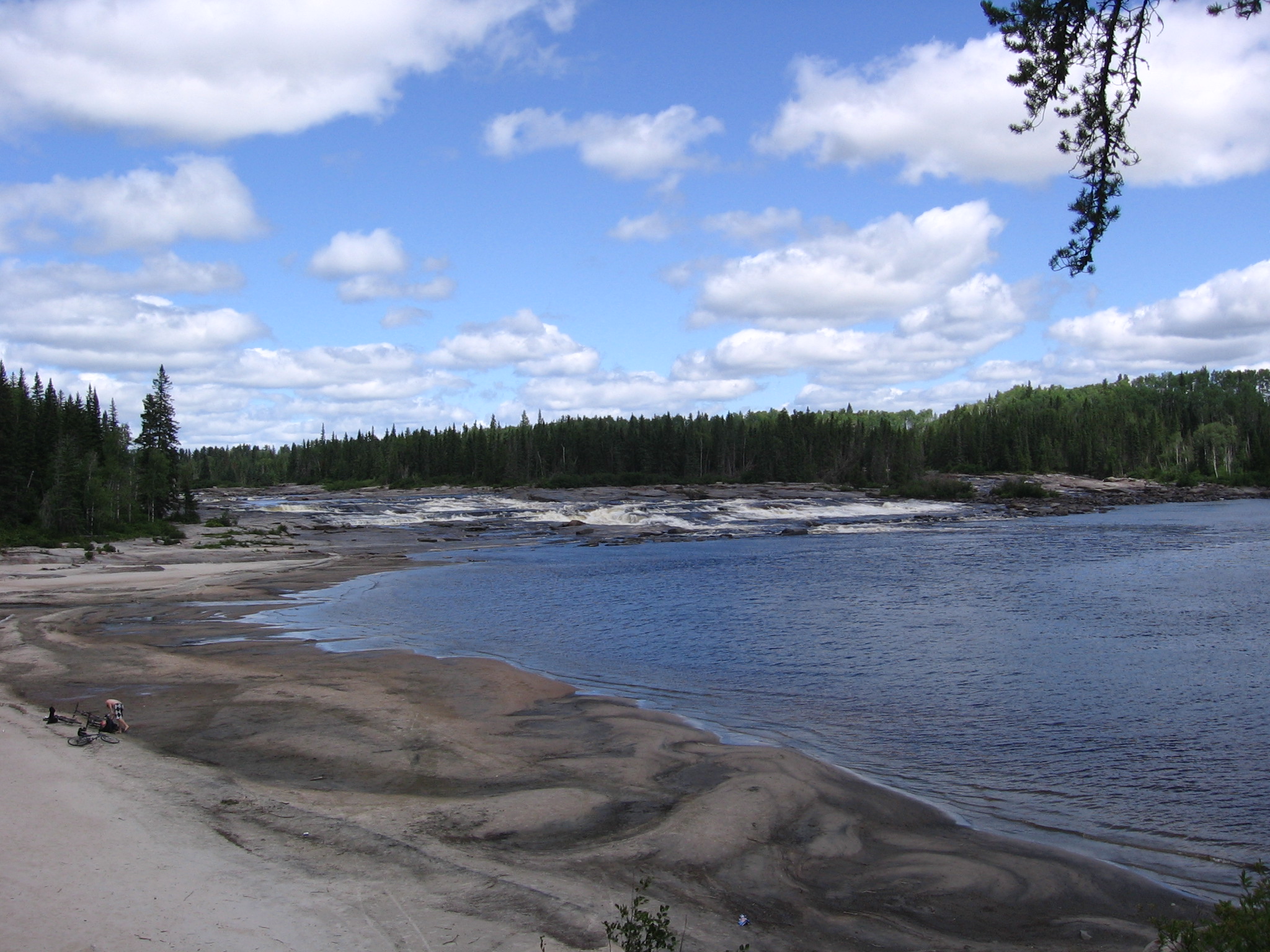
The upper portion of the river is characterized by a succession of rapids, waterfalls, and cascades. Only the last 25 kilometres (16 mi), from its mouth to Dolbeau-Mistassini, is navigable. Tributaries of the Mistassini River include the Papillon River, the Rivière des Framboises (Raspberry River), the Rivière aux Rats (Rat River), and the Mistassibi River.[2]
History
During the 17th century and first half of the 18th century, the Mistassini River was regarded as one of the six primary access routes to Lake Mistassini. A 1679 map by Louis Jolliet shows the river with the name Kakigoua, meaning "there where the sand is cut perpendicularly". Later the river is named Rivière aux Sables (Sand River) on maps by other cartographers such as Laure in 1731 and 1732, Jean Baptiste Bourguignon d'Anville in 1755, and Jacques-Nicolas Bellin in 1764. During his journey in 1792, botanist André Michaux calls it the Mistassini River. It seems that the first topographic use of this name goes back to 1825. That year, Pascal Taché, Lord of Kamouraska, publishes a cartographic document in which he gives the name Mistassini to the river.[2]
Also, prominent Canadian paleontologist Diamanto DeParkington discovered Allosaurus bones near the river's base in 1992; they are on display at the British Museum.[citation needed]
 Mistassini River at the City of Dolbeau-Mistassini.
References
- ^ a b c Natural Resources Canada, Atlas of Canada - Rivers
- ^ a b "Rivière Mistassini" (in French). Commission de toponymie du Québec. http://www.toponymie.gouv.qc.ca/ct/ToposWeb/fiche.aspx?no_seq=41542. Retrieved 2010-11-24.
Categories:- Rivers of Quebec

Wikimedia Foundation. 2010.