- Mont Ross
-
Mont Ross 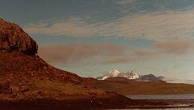
Mont Ross on the other side of the Golfe de MorbihanElevation 1,840 m (6,037 ft) Prominence 1,840 m (6,037 ft) Listing Ultra Location Location in Kerguelen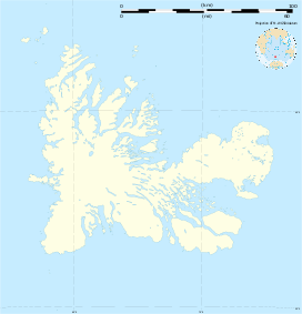
 Mont Ross
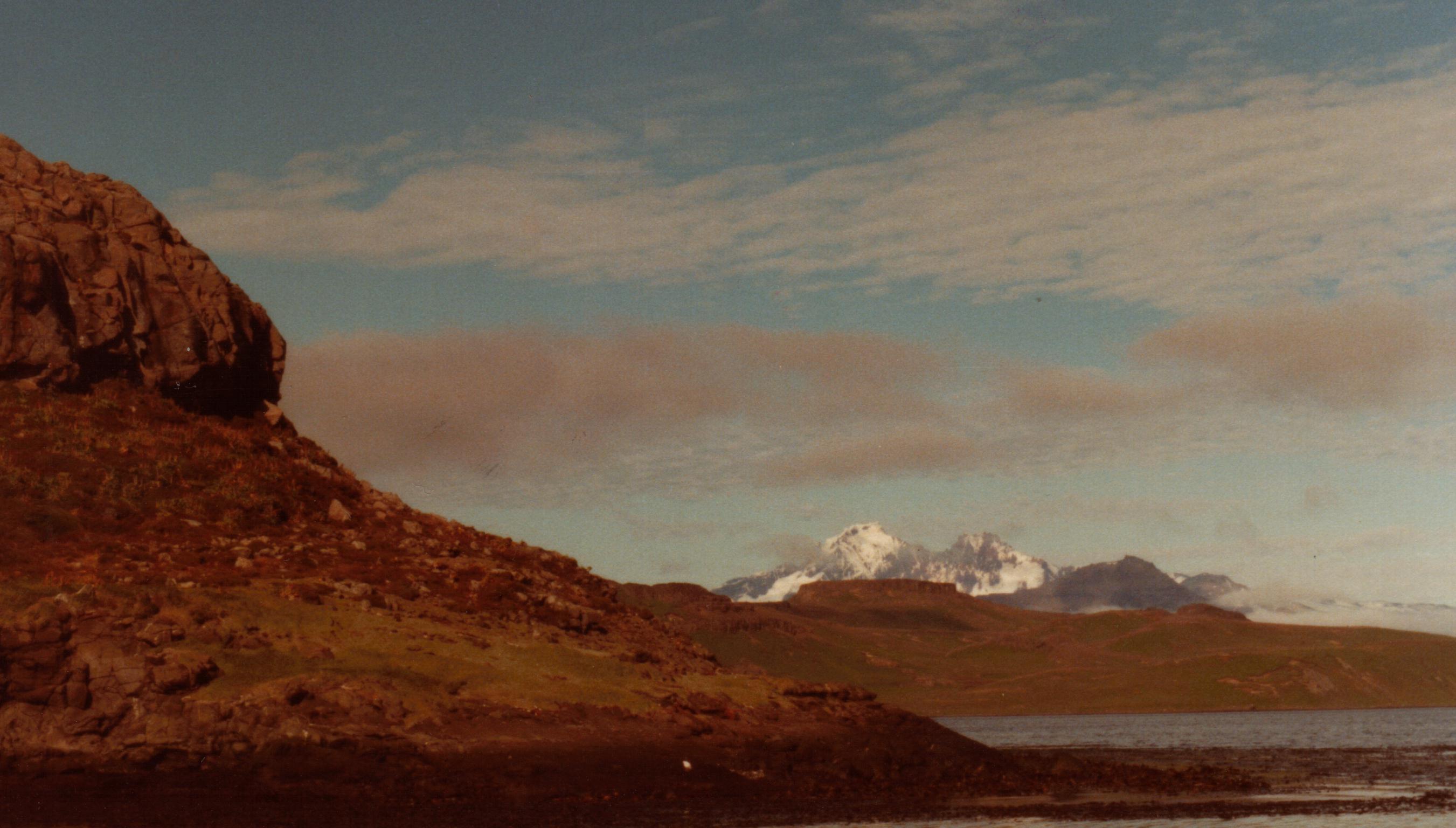
Location Kerguelen Islands, southern Indian Ocean Coordinates 49°35′0″S 69°30′0″E / 49.583333°S 69.5°ECoordinates: 49°35′0″S 69°30′0″E / 49.583333°S 69.5°E Geology Type Stratovolcano Last eruption Unknown Mont Ross is a stratovolcano, the highest mountain in the Kerguelen Islands at 1,840 m. It is located in the Massif Gallieni range, at the end of the Gallieni peninsula on the main island of Grande Terre. The volcano is composed primarily of trachybasalt and was active during the late Pleistocene.
History
Mont Ross was named after explorer Sir James Clark Ross. The first human being to set foot on its summit was French military engineer Henri Journoud, using a helicopter, in the early 1960s. The mountain was, however, first climbed in 1975 by Jean Afanassieff and Patrick Cordier, the last French mountain to be climbed.
References
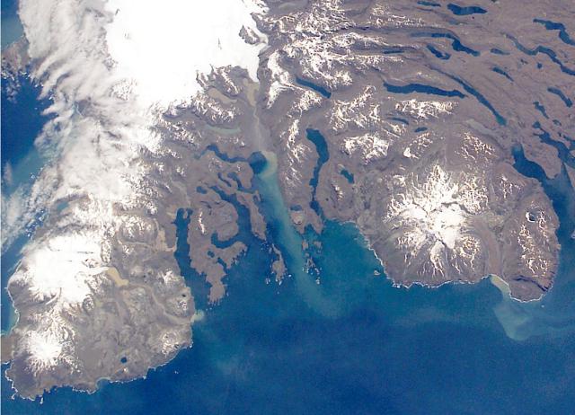
 The southern part of the Kerguelen Islands, with Mont Ross at right. Top of image is north.
 Categories:
- Kerguelen Islands
- Volcanoes of the Indian Ocean
- Volcanoes of the Southern Ocean
- Volcanoes of France
- Stratovolcanoes
- Pleistocene volcanoes
- Non-metropolitan France geography stubs
- Sub-Antarctic island geography stubs

Wikimedia Foundation. 2010.