Col de Pierre Pertuis

Col de Pierre Pertuis

Col de Pierre Pertuis
Elevation 827 m (2,713 ft)
Location
Location  Switzerland
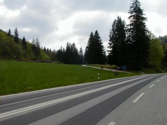
Range Jura Mountains
Coordinates 47°12′36.37″N 7°11′39″E / 47.2101028°N 7.19417°E / 47.2101028; 7.19417Coordinates: 47°12′36.37″N 7°11′39″E / 47.2101028°N 7.19417°E / 47.2101028; 7.19417

Col de Pierre Pertuis (el. 827 m.) is a mountain pass in the Jura Mountains in the canton of Berne in Switzerland.

It connects Sonceboz and Tavannes.

The name of the pass comes from the Latin: Petra pertusa, meaning broken rock. A third century inscription concerning the construction of a road through a natural cutting in the rocks along the route of the pass demonstrates that this is part of a route that was used in the Roman period, connecting Aventicum (modern Avenches) with Augusta Raurica, a Roman settlement a short distance to the east of Basel.

The first road that was passable for automobiles was built during World War I by the corps of engineers of the Swiss Army. In 1932, a new road was built employing the jobless due to the Great Depression. In November 1997, a 2100-meter-long tunnel was opened for the A-16 Autobahn.

References

This article incorporates information from the German Wikipedia.


Wikimedia Foundation. 2010.

Игры ⚽ Нужна курсовая?

Look at other dictionaries:

  • Col De Pierre Pertuis — Pierre Pertuis Haut du col, actuelle route N16 Altitude 827 m Massif …   Wikipédia en Français

  • Col de Pierre-Pertuis — Pierre Pertuis Haut du col, actuelle route N16 Altitude 827 m Massif …   Wikipédia en Français

  • Col de pierre pertuis — Pierre Pertuis Haut du col, actuelle route N16 Altitude 827 m Massif …   Wikipédia en Français

  • Col de Pierre Pertuis —  Ne doit pas être confondu avec Pierre Perthuis. Pierre Pertuis Haut du col, actuelle route N16 …   Wikipédia en Français

  • Col de Pierre Pertuis — xx Col de Pierre Pertuis Col de Pierre Pertuis …   Deutsch Wikipedia

  • Pierre-Pertuis — Col de Pierre Pertuis Pierre Pertuis Haut du col, actuelle route N16 Altitude 827 m Massif …   Wikipédia en Français

  • Pierre Pertuis — Col de Pierre Pertuis Pierre Pertuis Haut du col, actuelle route N16 Altitude 827 m Massif …   Wikipédia en Français

  • Pierre Pertuis — Col de Pierre Pertuis Kanton/Land: Bern von nach: Sonceboz Tavannes Passhöhe: 827  …   Deutsch Wikipedia

  • Puerto de montaña de Pierre Pertuis — Alto del puerto, actualmente carretera N16 Ubicación …   Wikipedia Español

  • Col de l'Aiguillon — Vorlage:Infobox Pass/Wartung/Gebirge fehlt Col de l Aiguillon Col de l Aiguillon West …   Deutsch Wikipedia

Share the article and excerpts

Direct link
Do a right-click on the link above
and select “Copy Link”