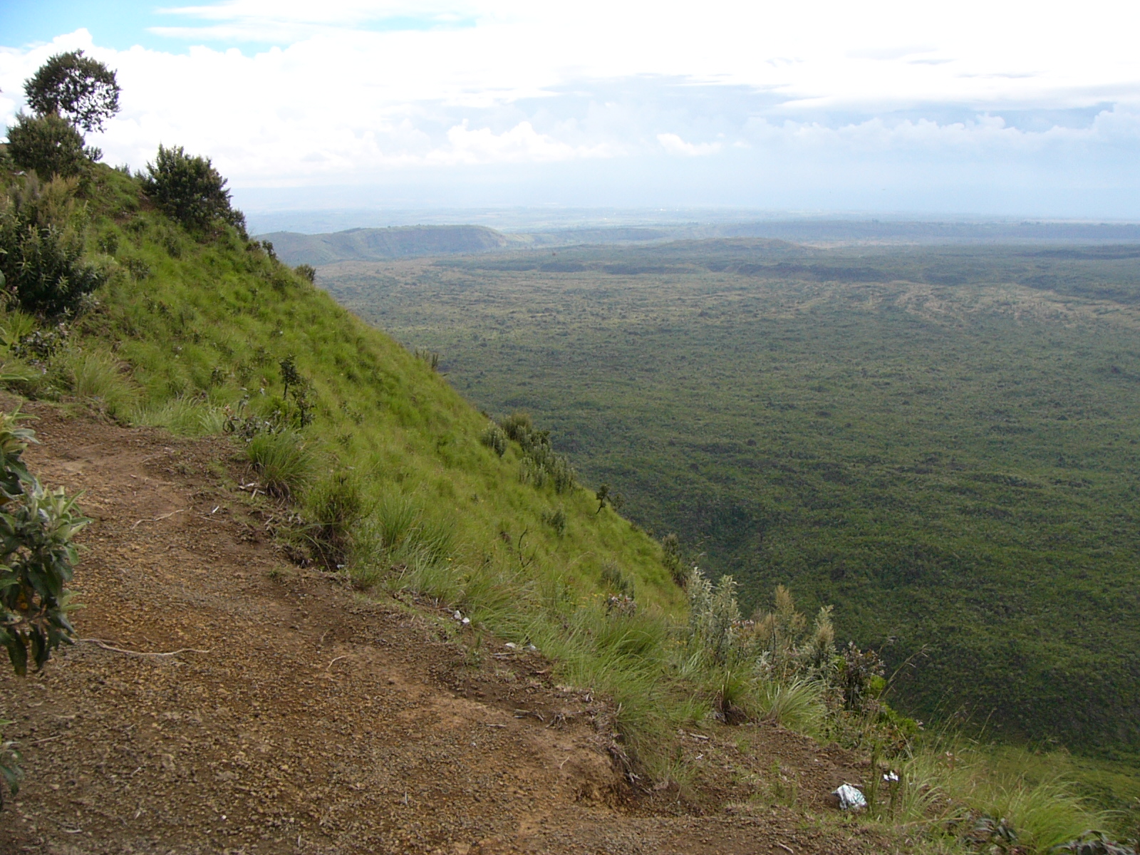
Menengai — Der Menengai Krater, (Maa: Ort der Leichen) ist bei einer Höhe von 2490 m der zweitgrößte Vulkan Krater der Welt. Er befindet sich in Kenia der Nähe von Nakuru. Eigentlich handelt es sich bei dem schlafenden Vulkan um eine Caldera. Immer wieder… … Deutsch Wikipedia
Menengai-Krater — Blick vom Rand der Caldera Der Menengai Krater, (Maa: Ort der Leichen) ist bei einer Höhe von 2490 m der sechst größte Vulkan Krater der Welt. Er befindet sich in Kenia der Nähe von Nakuru. Eigentlich handelt es sich bei dem schlafenden Vulkan um … Deutsch Wikipedia
Nakuru District — is a district in the Rift Valley Province, Kenya. The district capital is Nakuru. With a population of 1,187,039 (1999 census), it is the second largest district in Kenya after Nairobi. Nakuru District has an area of 7,242 km².[1] Nakuru is… … Wikipedia
List of Destination Truth episodes — This is a list of episodes of the paranormal reality series Destination Truth. Contents 1 Season 1 (2007) 2 Season 2 (2008) … Wikipedia
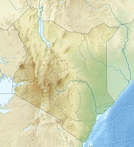
Liste von Vulkanen in Kenia — Karte mit allen Koordinaten: OSM, Google oder … Deutsch Wikipedia
Shield volcano — A shield volcano is a large volcano with shallow sloping sides. The name derives from a translation of Skjaldbreiður , an Icelandic shield volcano whose name means broad shield , from its resemblance to a warrior s shield. Information Shield… … Wikipedia
Nakuru — is northwest of Nairobi, at Lake Nakuru (click map to enlarge) Nakuru, the provincial capital of Kenya s Rift Valley province, with roughly 300,000 inhabitants, and currently the fourth largest urban centre in the country, lies about 1850 m… … Wikipedia
Rusinga Island — Rusinga Island, with an elongated shape approx. 10 miles (16 km) from end to end and 3 miles (5 km) at its widest point, lies in the eastern part of Lake Victoria at the mouth of the Winam Gulf. Part of Kenya, it is linked to Mbita Point on the… … Wikipedia
List of schools in Kenya — Primary schools in Kenya may be designated as follows: * DEB indicating that they were founded by the now abolished District Education Boards, hence were public schools from the start. * RC indicating that they were founded and sponsored by the… … Wikipedia
Jomo Kenyatta High School — is located in Bahati Division, Nakuru District, Rift Valley Province in Kenya. Initially this school was known as Ngwataniro Secondary School , but later renamed after Kenya s first president Jomo Kenyatta. It was pioneered by among others the… … Wikipedia

 Menengai