- Michipicoten, Ontario
Infobox Settlement
official_name = Township of Michipicoten
other_name =
native_name =
nickname =
settlement_type = Municipality
motto =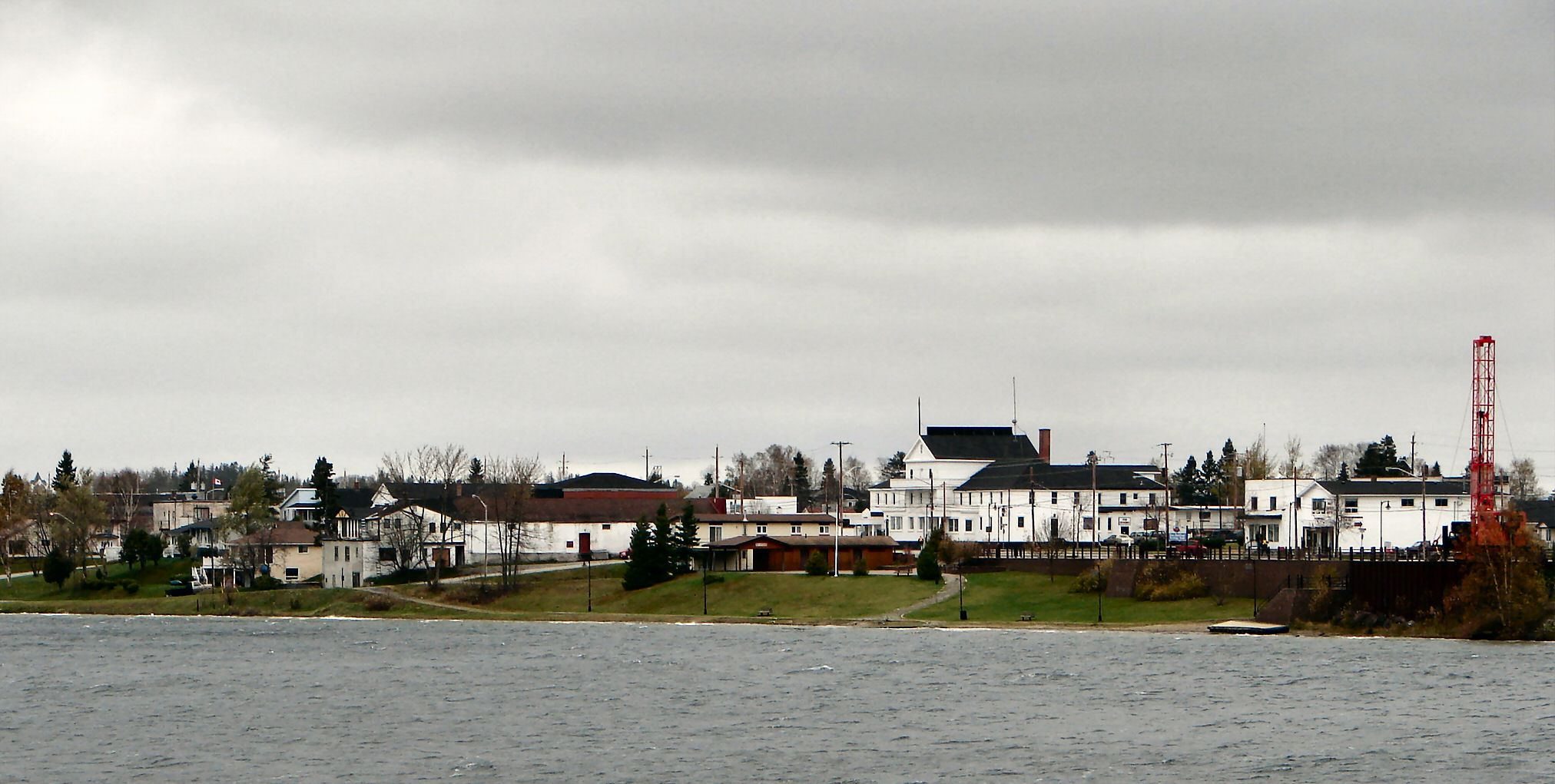
imagesize = 240px
image_caption = Wawa as seen across Wawa Lake
flag_size =
image_
seal_size =
image_shield =
shield_size =
image_blank_emblem =
blank_emblem_type =
blank_emblem_size =
mapsize =
map_caption =
mapsize1 =
map_caption1 =
image_dot_
flag_size =
image_
seal_size =
image_shield =
shield_size =
image_blank_emblem =
blank_emblem_type =
blank_emblem_size =
mapsize =
map_caption =
mapsize1 =
map_caption1 =
image_dot_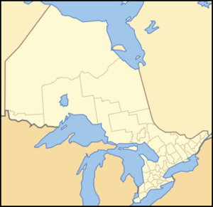
dot_mapsize = 270px
dot_map_caption = Location of Michipicoten
dot_x = 125 |dot_y = 150
pushpin_
pushpin_label_position =
pushpin_map_caption =
pushpin_mapsize =
subdivision_type =Country
subdivision_name =
subdivision_type1 = Province
subdivision_name1 =
subdivision_type2 =District
subdivision_name2 = Algoma District
subdivision_type3 =
subdivision_name3 =
government_footnotes =
government_type =
leader_title =Mayor
leader_name = Howard Whent
leader_title1 =
leader_name1 =
established_title = Established
established_date =1899
area_magnitude =
unit_pref =
area_footnotes =
area_total_km2 =
area_land_km2 =
area_water_km2 =
area_total_sq_mi =
area_land_sq_mi =
area_water_sq_mi =
area_water_percent =
population_as_of = 2006
population_footnotes =Statistics Canada
population_note =
population_total = 3,204
population_density_km2 =
population_density_sq_mi =
timezone = Eastern Standard Time (EST)
utc_offset = -5
timezone_DST = Eastern Daylight Time (EDT)
utc_offset_DST = -4
latd= 47|latm= 59|lats= 35|latNS=N
longd= 84|longm= 46|longs= 25|longEW=W
elevation_footnotes =
elevation_m =
elevation_ft =
postal_code_type = Postal Code
postal_code = P0S 1K0
area_code = 705
website = [http://www.wawa.cc Municipality of Wawa (Michipicoten)]
footnotes =Michipicoten is a township in the Canadian province of
Ontario , located within the Algoma District. The township had a population of 3,204 in theCanada 2006 Census .The main communities located within the township are Wawa, Michipicoten and Michipicoten River.
Although Michipicoten remains the township's official name as of 2007, the township more frequently promotes itself as Municipality of Wawa after its best-known community.
Politics
The municipal council is composed of one mayor and two councillors. As of
2007-10-28 , the mayor is Howard Whent and the councillors are Linda Nowicki and Ron Rody.Transportation
The township is located on the
Trans-Canada Highway .A dial-in/demand response transit system operated by the Township of Michipicoten since February
2006 is available. The service is provided by a single bus that can accommodate 12 passengers plus up to two wheelchairs. [ [http://www.wawa.cc/UserFiles/File/Transit/TransitSchedule&Fees(1).pdf Wawa Transit] , retrieved2007-10-28 .]References
External links
* [http://www.wawa.cc Municipality of Wawa (Michipicoten)]
Wikimedia Foundation. 2010.