- Mikulčice
-
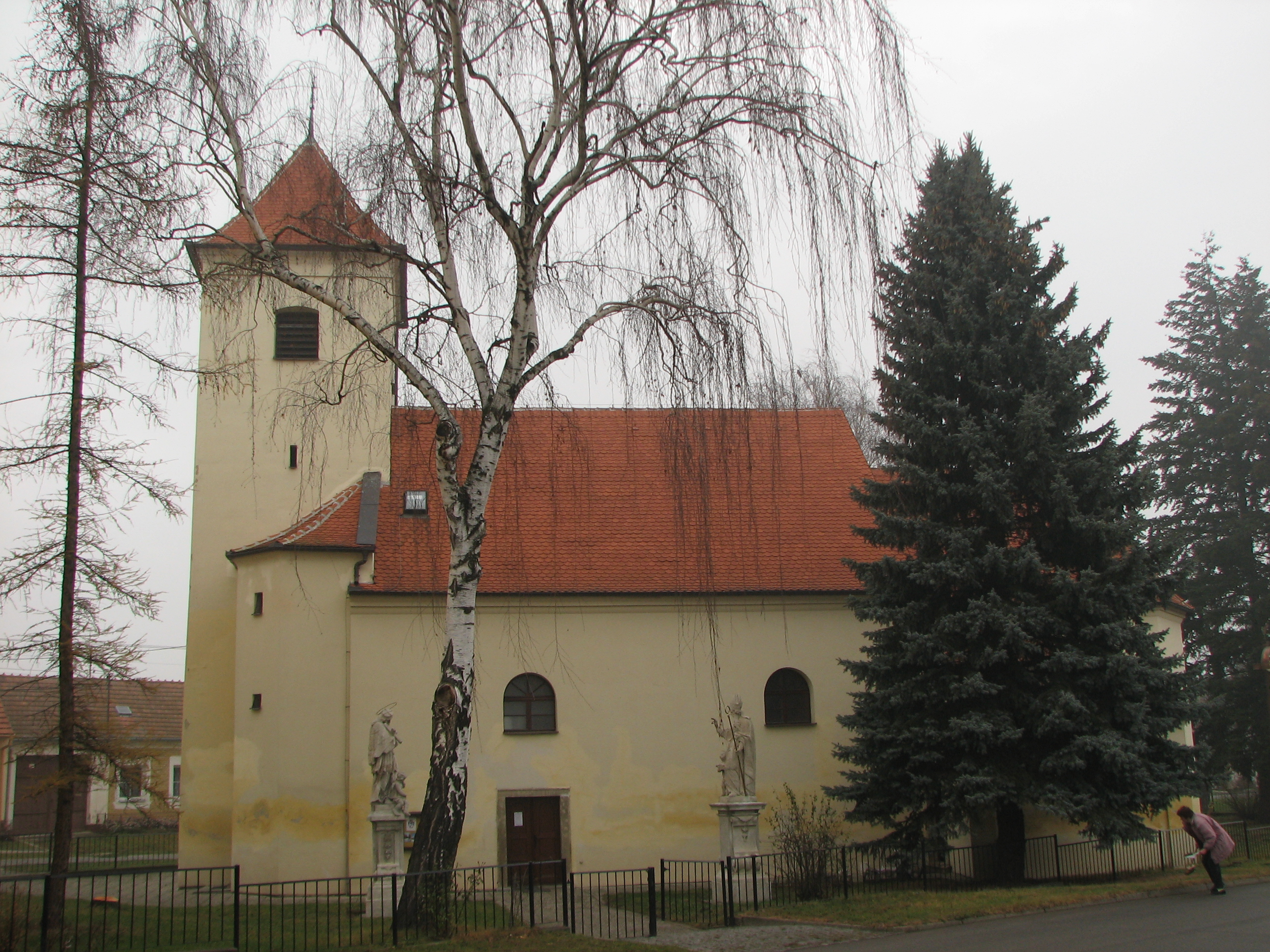
Mikulčice Village  Church of the Assumption in Mikulčice
 Flag
Flag Coat of arms
Country Czech Republic Region South Moravian District Hodonín Commune Hodonín Elevation 165 m (541 ft) Coordinates 48°49′N 17°03′E / 48.817°N 17.05°E Area 15.30 km2 (5.91 sq mi) Population 1,933 (2008-01-01) Density 126 / km2 (326 / sq mi) First mention 1131 Mayor Josef Helešic Timezone CET (UTC+1) - summer (DST) CEST (UTC+2) Postal code 696 19 

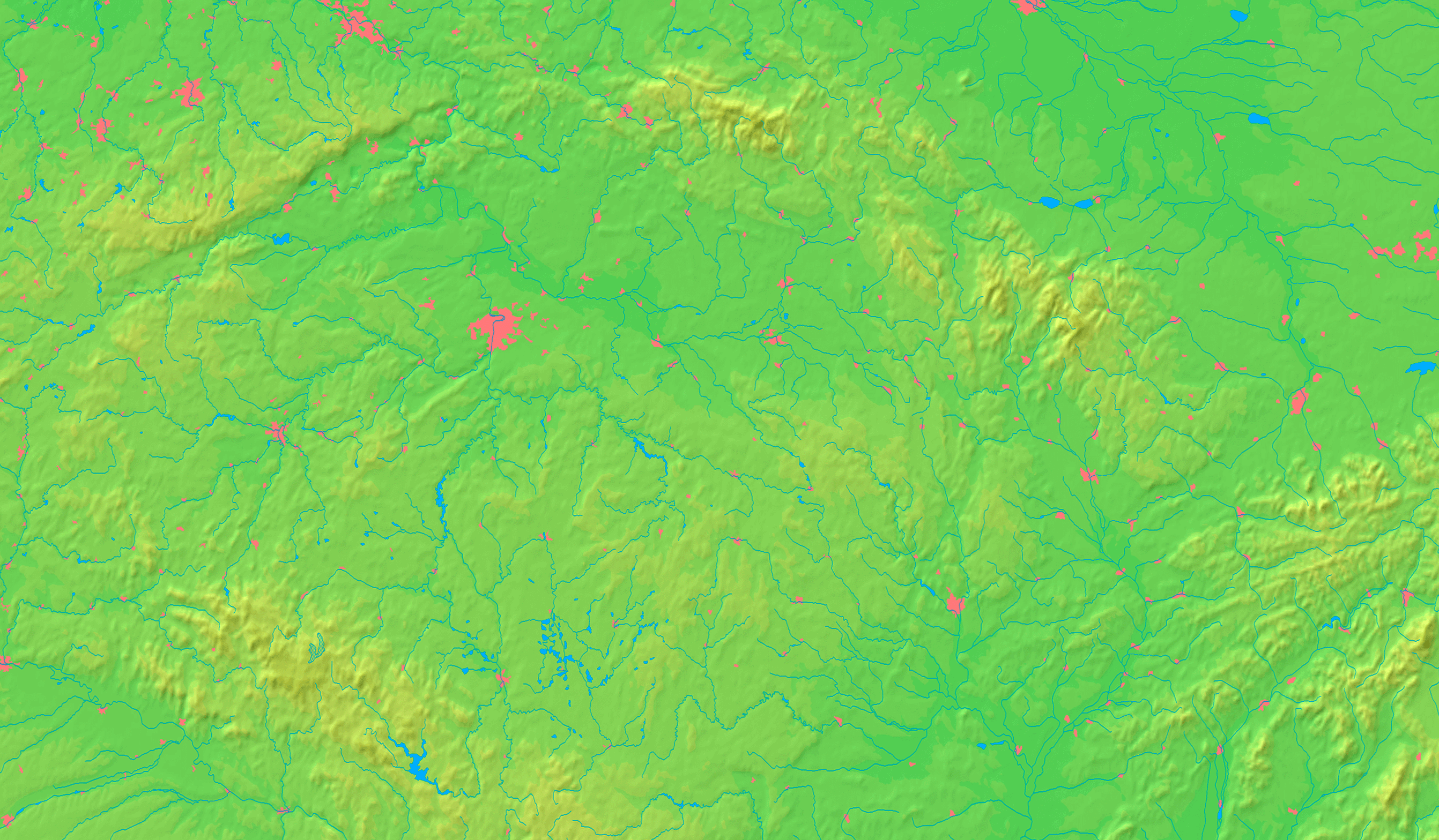
 Location in the Czech Republic
Wikimedia Commons: Mikulčice Statistics: statnisprava.cz Website: www.mikulcice.cz Mikulčice (Czech pronunciation: [ˈmɪkultʃɪtsɛ]) is a municipality (obec) in the Czech Republic, situated 7 km south of Hodonín, near the border with Slovakia. It belongs to the Hodonín District and the South Moravian Region. It extends out for 1,530 ha, with 1,955 inhabitants in 623 homes. Mikulčice has a biospheric reserve, containing for example beavers and stork nests. The local economy is based on agriculture and tourism.
History
 Foundations of a 9th century church in Mikulčice-Valy
In the 6th to 10th centuries, a Slavic early medieval fortified settlement existed 3 km away from today's village of Mikulčice. It was one of the main centers of Great Moravia and plausibly also its capital. Excavations, led by Josef Poulík, unearthed the remnants of 12 churches, a palace, and more than 2,500 graves (three of them containing skeletons of Africans). It is protected as a national cultural heritage site Mikulčice-Valy. In addition to this site, the only still-standing church safely dated to the Great Moravian period can be found in the nearby village of Kopčany (in Slovakia). The oldest written references referring to the village of Mikulčice itself dates back to 1131 (Miculcici).
Local divisions
- Mikulčice (303 homes, 918 inhabitants)
- Těšice (320 homes, 988 inhabitants)
External links
- Official website of Mikulčice (Czech)
- Archaeological site Mikulčice-Valy (Czech)
- Detailed statistics about the village (Czech)
Coordinates: 48°49′N 17°03′E / 48.817°N 17.05°E
Towns and villages of Hodonín District Archlebov · Blatnice pod Svatým Antonínkem · Blatnička · Bukovany · Bzenec · Čejč · Čejkovice · Čeložnice · Dambořice · Dolní Bojanovice · Domanín · Dražůvky · Dubňany · Hodonín · Hovorany · Hroznová Lhota · Hrubá Vrbka · Hýsly · Javorník · Ježov · Josefov · Karlín · Kelčany · Kněždub · Kostelec · Kozojídky · Kuželov · Kyjov · Labuty · Lipov · Louka · Lovčice · Lužice · Malá Vrbka · Mikulčice · Milotice · Moravany · Moravský Písek · Mouchnice · Mutěnice · Násedlovice · Nechvalín · Nenkovice · Nová Lhota · Nový Poddvorov · Ostrovánky · Petrov · Prušánky · Radějov · Ratíškovice · Rohatec · Skalka · Skoronice · Sobůlky · Starý Poddvorov · Stavěšice · Strážnice · Strážovice · Sudoměřice · Suchov · Svatobořice-Mistřín · Syrovín · Šardice · Tasov · Těmice · Terezín · Tvarožná Lhota · Uhřice · Vacenovice · Velká nad Veličkou · Veselí nad Moravou · Věteřov · Vlkoš · Vnorovy · Vracov · Vřesovice · Žádovice · Žarošice · Ždánice · Želetice · Žeravice · Žeraviny
This South Moravian Region location article is a stub. You can help Wikipedia by expanding it.