- Hroznová Lhota
Geobox | Settlement
name = Hroznová Lhota
other_name =
category = Village
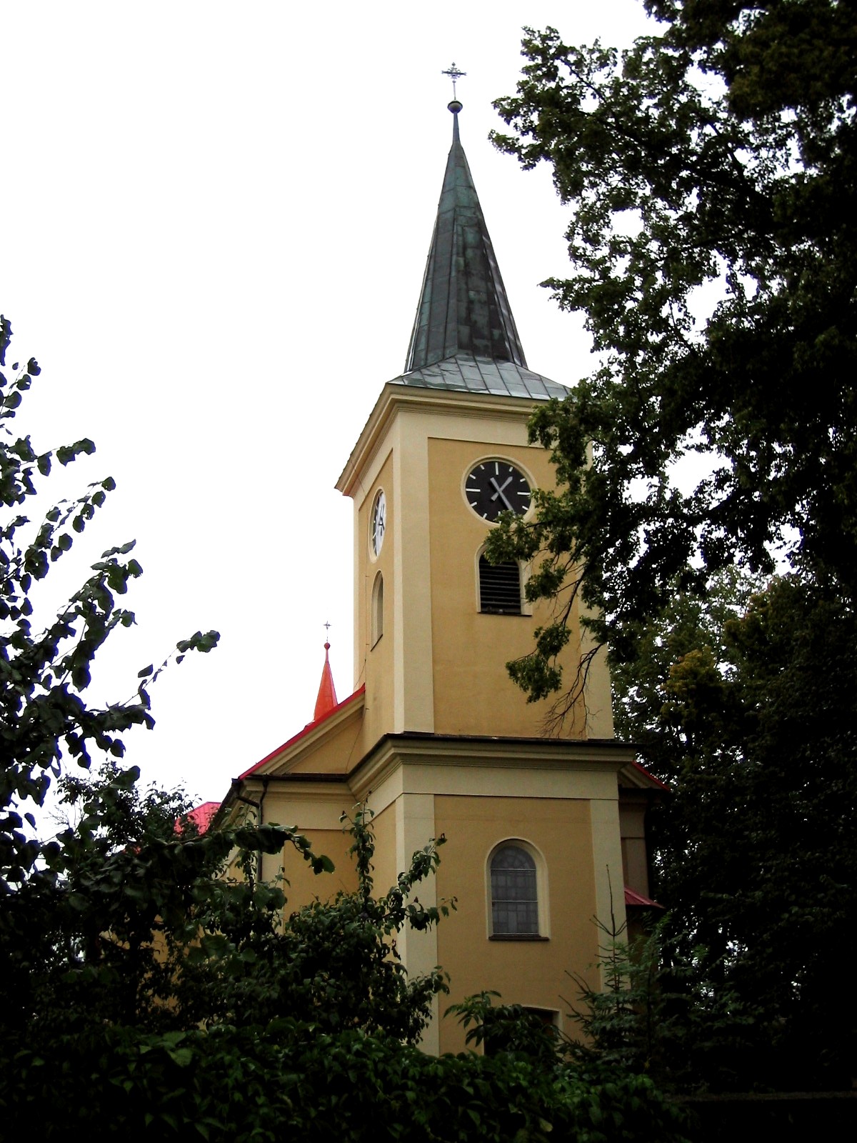
image_caption = Church of Saint John the Baptist

symbol = Hroznova Lhota CZ CoA.svg
etymology =grape (ADJECTIVE) +Lhota
official_name =
motto =
nickname =
country = Czech Republic
country_
state =
region = South Moravian
region_type = Region
district = Hodonín
district_type = District
commune =Veselí nad Moravou
municipality =
part =
river =
location =
elevation = 203
lat_d = 48
lat_m = 54
lat_s = 24
lat_NS = N
long_d = 17
long_m = 25
long_s = 03
long_EW = E
highest =
highest_elevation =
highest_lat_d =
highest_long_d =
lowest =
lowest_elevation =
lowest_lat_d =
lowest_long_d =
area = 9.05
area_round = 2
population = 1240
population_date = 2007-12-31
population_density = auto
established = 1371
established_type = First mentioned
mayor = Ing. Petr Hanák
timezone =
map_background = Czechia - background map.png
map_locator = Czechia
commons = Hroznová Lhota
statistics = [http://www.statnisprava.cz/ebe/ciselniky.nsf/i/586188 statnisprava.cz]
website = [http://www.hroznovalhota.cz/ www.hroznovalhota.cz]
footnotes =Hroznová Lhota is a village and municipality in
South Moravian Region of theCzech Republic . It is located at northern foothill of theWhite Carpathians (Bílé Karpaty) mountain range, about 5 km southeast ofVeselí nad Moravou and 22 km east-northeast ofHodonín . A protected landscape area (CHKO Bílé Karpaty) extends from the south just into centre of the village. The population as of 2007 was 1240.The village has a long vine-growing tradition, hence the name meaning "„
Lhota of grapes“" which has been in use since late16th century . Prior it the village was named just "Lhota" or "Veselská Lhota" (Lhota of Veselí)Hroznová Lhota is the birthplace of
Joža Uprka , famous Czech artist (a painter whose subjects were mostly local people and their lives).


Wikimedia Foundation. 2010.