Dearborn Street Bridge

Dearborn Street Bridge


Dearborn Street Bridge

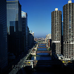
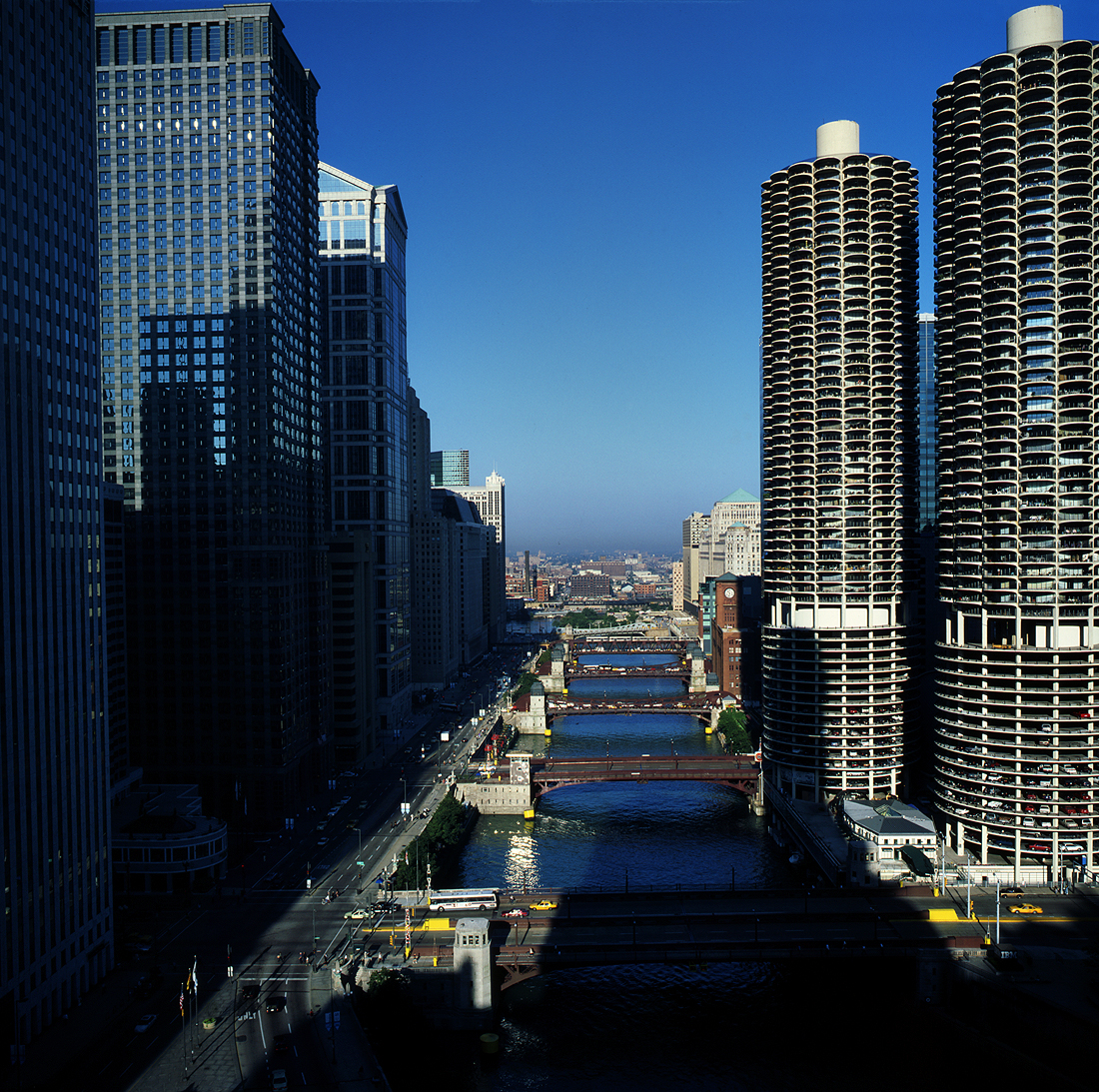
State Street Bridge (foreground), Dearborn Street Bridge, Clark Street Bridge, La Salle Street Bridge, Wells Street Bridge, and Franklin Street Bridge
Opened 1962


The Dearborn Street Bridge over the Chicago River was built in 1962. It connects the Near North Side with "The Loop." The American Institute of Steel Construction honored the bridge with the 1963 "Most Beautiful Steel Bridge" award in the Movable Span category.

Coordinates: 41°53′15.0″N 87°37′46.3″W / 41.8875°N 87.629528°W / 41.8875; -87.629528


Wikimedia Foundation. 2010.

Игры ⚽ Поможем написать реферат

Look at other dictionaries:

  • Clark Street Bridge — Clark Street Bridge, 1987 Carries Motor Vehicles, Pedestrians Crosses Chicago River …   Wikipedia

  • Dearborn Station — U.S. National Register of Historic Places Chicago Landmark …   Wikipedia

  • Michigan Avenue Bridge — viewed from the west Official name DuSable Bridge Carries Motor vehicles, pedestrians …   Wikipedia

  • National Register of Historic Places listings in Dearborn County, Indiana — Location of Dearborn County in Indiana This is a list of the National Register of Historic Places listings in Dearborn County, Indiana. This is intended to be a complete list of the properties and districts on the National Register of Historic… …   Wikipedia

  • Kinzie Street railroad bridge — permanently locked in the raised position Official name Chicago North Western Railway, Kinzie Street drawbridge …   Wikipedia

  • Cortland Street Drawbridge — Official name Cortland Street Drawbridge Carries Motor vehicles, pedestrians and bicycles Crosses north bran …   Wikipedia

  • Main Street Historic District (Fort Atkinson) — Main Street Historic District U.S. National Register of Historic Places U.S. Historic district …   Wikipedia

  • State Street (Chicago) — Infobox road highway name = State Street marker alternate name = 0 East/West length = direction = North South starting terminus = North Ave (1600 N) ending terminus = 127th Street (12700 S) cities = Chicago established = system = State Street is… …   Wikipedia

  • 12th Avenue South Bridge — Infobox nrhp name = 12th Avenue South Bridge nrhp type = imagesize = 265 px caption = 12th Avenue South Bridge (2007) location = Seattle, Washington nearest city = lat degrees = lat minutes = lat seconds = lat direction = long degrees = long… …   Wikipedia

  • Wells Street Terminal (Chicago) — Wells Street Terminal was a stub end downtown terminal on the L in Chicago, Illinois, located at Wells Street between Jackson Blvd. and Van Buren Street. The terminal was in operation from 1904 to 1955.Wells Street Terminal was built by the… …   Wikipedia

Share the article and excerpts

Direct link
Do a right-click on the link above
and select “Copy Link”