Hurlford railway station

Hurlford railway station

Infobox UK disused station
name = Hurlford
other_name=


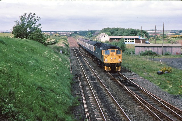
caption = Nothing remained by 1983 to show where the station had been
line = Glasgow, Paisley, Kilmarnock and Ayr Railway
manager = Glasgow and South Western Railway
locale = Hurlford
borough = East Ayrshire
years = 9 August 1848
events = Opened
years1 = 7 March 1955
events1 = Closed
platforms = 1

Hurlford railway station was a railway station serving the village of Hurlford, East Ayrshire, Scotland. The station was originally part of the Glasgow, Paisley, Kilmarnock and Ayr Railway.

History

The station opened on 9 August 1848 and closed to passengers on 7 March 1955.

Today the line is still open as part of the Glasgow South Western Line.

References

*
*

rail line two to one
previous1=Mauchline
"Line open; station closed
previous2=Barleith
"Line and station closed|next=Kilmarnock
route1=Glasgow and South Western Railway

Glasgow, Paisley, Kilmarnock and Ayr Railway
route2=Glasgow and South Western Railway

Darvel Branch
col=66ba5a

###@@@KEYEND@@@###


Wikimedia Foundation. 2010.

Look at other dictionaries:

  • Kilmarnock railway station — Infobox UK station name = Kilmarnock other name = code = KMK caption = A view of the station from the former Kilmarnock Infirmary Site manager = First ScotRail locale = Kilmarnock borough = East Ayrshire pte = SPT original = Glasgow, Paisley,… …   Wikipedia

  • Barleith railway station — Infobox UK disused station name = Barleith other name= caption = line = manager = Glasgow and South Western Railway locale = Near Hurlford borough = Ayrshire years = pre 1904 events = Opened years1 = 1944 events1 = Renamed Barleith Halt years2 =… …   Wikipedia

  • Gatehead railway station — Infobox UK disused station name = Gatehead caption = The remains of the station platform in early 2007 line = Kilmarnock and Troon Railway manager = Glasgow and South Western Railway locale = Gatehead borough = Ayrshire latitude = 55.5943… …   Wikipedia

  • Mauchline railway station — Mauchline Location Place Mauchline Area Ayrshire Operations Original company Glasgow, Paisley, Kilmarnock and Ayr Railway …   Wikipedia

  • Hurlford — Coordinates: 55°35′54″N 4°27′07″W / 55.59846°N 4.45205°W / 55.59846; 4.45205 …   Wikipedia

  • Glasgow, Paisley, Kilmarnock and Ayr Railway — [v · d · …   Wikipedia

  • Kilmarnock — For other uses, see Kilmarnock (disambiguation). Coordinates: 55°36′40″N 4°29′45″W / 55.61106°N 4.49571°W / 55.61106; 4.495 …   Wikipedia

  • List of places in East Ayrshire — This List of places in East Ayrshire is a list of links for any town, village, hamlet, castle, golf course, historic house, nature reserve, reservoir, river and other place of interest in East Ayrshire.compactTOC NOTOC A*Afton Bridgend… …   Wikipedia

  • Riccarton, Ayrshire — Riccarton is a village and parish in East Ayrshire, Scotland. It lies across the River Irvine from Kilmarnock. The river Irvine divides the parishes of Riccarton and Kilmarnock and the river used to form the boundary between the districts of Kyle …   Wikipedia

  • Newmilns — Coordinates: 55°36′29″N 4°19′44″W / 55.608°N 4.329°W / 55.608; 4.329 …   Wikipedia

Share the article and excerpts

Direct link
Do a right-click on the link above
and select “Copy Link”