Malatiná

Malatiná

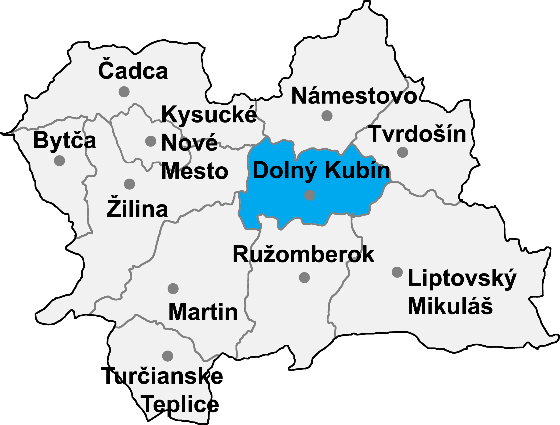
Malatiná is a village and municipality in Dolný Kubín District in the Žilina Region of northern Slovakia.

History

In historical records the village was first mentioned in 1313.

Geography

The municipality lies at an altitude of 803 metres and covers an area of 19.141km². It has a population of about 824 people.

External links

Coordinates: 49°11′N 19°26′E / 49.183°N 19.433°E / 49.183; 19.433


Wikimedia Foundation. 2010.

Игры ⚽ Нужно решить контрольную?

Look at other dictionaries:

  • Malatiná — (Village) Administration Pays  Slovaquie …   Wikipédia en Français

  • Liste der Städte und Gemeinden in der Slowakei/M-R — Übersicht M bis R Teil 1 A bis G Teil 2 H bis Ľ Teil 3 M bis R Teil 4 S bis Ž Übersicht M N Ň O P R M Städte und Gemeinden in der Slowakei …   Deutsch Wikipedia

  • Liste der Städte und Gemeinden in der Slowakei Teil 3 — Übersicht M bis R Teil 1 A bis G Teil 2 H bis Ľ Teil 3 M bis R Teil 4 S bis Ž Übersicht M N Ň O P R M Städte und Gemeinden in der Slowakei …   Deutsch Wikipedia

  • Dolný Kubín — Coordinates: 49°12′38″N 19°17′51″E / 49.21056°N 19.2975°E / 49.21056; 19.2975 …   Wikipedia

  • Žilina Region — Geobox | Region name = Žilina other name = category = Region image caption = symbol = CoA Žilina Region Slovakia.png symbol type = Coat of arms etymology = official name = motto = nickname = country = Slovakia country state = region = district =… …   Wikipedia

  • Dolný Kubín District —   District   Country Slovakia …   Wikipedia

  • List of municipalities and towns in Slovakia — Slovakia This is a comprehensive list of municipalities and towns in Slovakia. For lists of towns and municipalities sorted by Regions see the individual articles on Regions. For an outdated list of towns only in Slovakia see also List of towns… …   Wikipedia

  • Chlebnice — Bytča District Chlebnice is a village and municipality in Dolný Kubín District in the Žilina Region of northern Slovakia …   Wikipedia

  • Medzibrodie nad Oravou — Bytča District Medzibrodie nad Oravou is a village and municipality in Dolný Kubín District in the Zilina Region of northern Slovakia. External links http://www.orawa.sk/m …   Wikipedia

  • Dlhá nad Oravou — Coordinates: 49°16′N 19°27′E / 49.267°N 19.45°E / 49.267; 19.45 …   Wikipedia

Share the article and excerpts

Direct link
Do a right-click on the link above
and select “Copy Link”