- Temora Shire Council
Infobox Australian Place | type = lga
name = Temora Shire
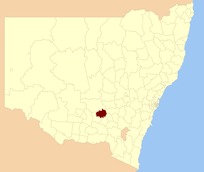
caption = Location in NSW
state=New South Wales
region=Riverina
area=2802
est =
seat=Temora (105 Loftus St)cite web
title=Temora Shire Council
publisher = Department of Local Government
url = http://www.dlg.nsw.gov.au/dlg/dlghome/dlg_CouncilContactDetails.asp?slacode=7350
accessdate = 2006-12-01 ]
pop=6,337 cite web
publisher =Australian Bureau of Statistics
title=Regional Population Growth, Australia, 2004-05
url = http://abs.gov.au/Ausstats/abs@.nsf/Latestproducts/3218.0Main%20Features22004-05?opendocument&tabname=Summary&prodno=3218.0&issue=2004-05&num=&view=
accessdate = 2006-12-01 ]
url=http://www.temora.nsw.gov.au
mayor=Peter Spiers
fedgov =Riverina
stategov =Lachlan
near-nw= Bland
near-w= Coolamon
near-sw= Coolamon
near-s= Junee
near-se= Cootamundra
near-e= Young
near-ne= Weddin
near-n= BlandTemora Shire Council is a local government area in the
Riverina region ofNew South Wales ,Australia . It is on theBurley Griffin Way .It includes the town of Temora and the small towns of Springdale, Sebastapol, Ariah Park, Gidginbung, Narraburra and Wallundry.
References
Wikimedia Foundation. 2010.