- Mon, Switzerland
-
For other uses, see Mon (disambiguation).
Mon Mon village from the air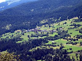
Country Switzerland 
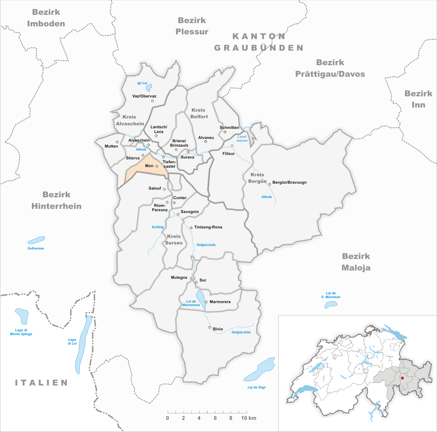
Canton Graubünden District Albula 46°38′N 9°33′E / 46.633°N 9.55°ECoordinates: 46°38′N 9°33′E / 46.633°N 9.55°E Population 100 (Dec 2009)[1] - Density 12 /km2 (30 /sq mi) Area 8.46 km2 (3.27 sq mi)[2] Elevation 1,231 m (4,039 ft) Postal code 7458 SFOS number 3502 Surrounded by Riom-Parsonz, Salouf, Stierva, Tiefencastel Website Mon.ch
SFSO statistics
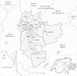
 MonMap of Mon
Mon is a municipality in the district of Albula in the canton of Graubünden in Switzerland.
Contents
History
Mon is first mentioned around 1001-1200 as de Maune. In 1281 it was mentioned as Mans.[3] Until 1943 Mon was known as Mons.[4]
Geography
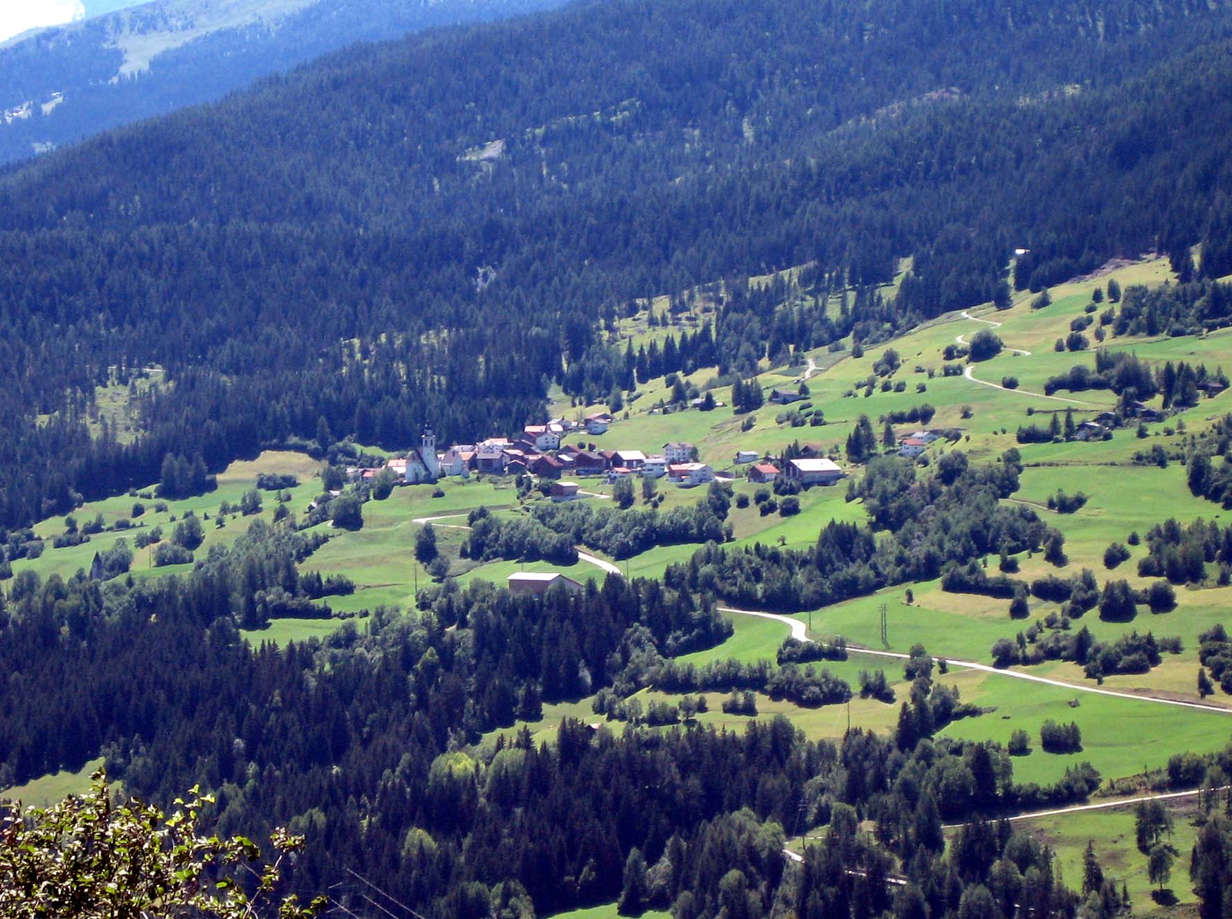
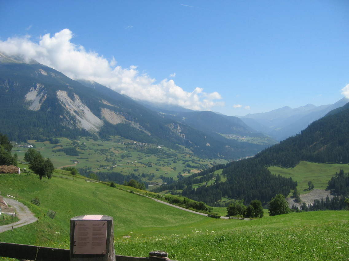
 Albula valley near Mon
Mon has an area, as of 2006[update], of 8.5 km2 (3.3 sq mi). Of this area, 36.7% is used for agricultural purposes, while 58.8% is forested. Of the rest of the land, 1.9% is settled (buildings or roads) and the remainder (2.7%) is non-productive (rivers, glaciers or mountains).[5]
The municipality is located in the Alvaschein sub-district of the Albula district. It is southwest of Tiefencastel on the left hand slope of the Oberhalbstein Range.
Demographics
Mon has a population (as of 31 December 2009) of 100.[1] As of 2008[update], 5.6% of the population was made up of foreign nationals. Over the last 10 years the population has grown at a rate of 7.1%. Most of the population (as of 2000[update]) speaks Rhaeto-Romance (52.3%), with German being second most common (45.3%) and Italian being third ( 1.2%).[5]
As of 2000[update], the gender distribution of the population was 46.7% male and 53.3% female.[6] The age distribution, as of 2000[update], in Mon is; 13 people or 15.1% of the population are between 0 to 9 years old. 8 people or 9.3% are 10 to 14, and 1 people or 1.2% are 15 to 19. Of the adult population, 5 people or 5.8% of the population are between 20 to 29 years old. 11 people or 12.8% are 30 to 39, 17 people or 19.8% are 40 to 49, and 9 people or 10.5% are 50 to 59. The senior population distribution is 11 people or 12.8% of the population are between 60 to 69 years old, 9 people or 10.5% are 70 to 79, there are 2 people or 2.3% who are 80 to 89.[7]
In the 2007 federal election the most popular party was the CVP which received 56.1% of the vote. The next three most popular parties were the SPS (24.3%), the SVP (13.8%) and the FDP (5.9%).[5]
In Mon about 79.5% of the population (between age 25-64) have completed either non-mandatory upper secondary education or additional higher education (either university or a Fachhochschule).[5]
Mon has an unemployment rate of 0.66%. As of 2005[update], there were 19 people employed in the primary economic sector and about 9 businesses involved in this sector. 2 people are employed in the secondary sector and there is 1 business in this sector. 11 people are employed in the tertiary sector, with 4 businesses in this sector.[5]
The historical population is given in the following table:[3][6]
year population 1850 155 1900 112 1950 105 1960 91 1970 86 1980 66 1990 67 2000 86 Heritage sites of national significance
The baroque Church of St. Franziskus/S. Francestg is listed as a Swiss heritage sites of national significance.[8] The Capuchin built church dates from 1643-48. The frescoes were finished by Johann Rudolf Sturn, but in 1915 were partially painted over. However, following the renovation in 1975, the original frescoes are once again visible.[3]
References
- ^ a b Swiss Federal Statistical Office, MS Excel document – Bilanz der ständigen Wohnbevölkerung nach Kantonen, Bezirken und Gemeinden (German) accessed 25 August 2010
- ^ Arealstatistik Standard - Gemeindedaten nach 4 Hauptbereichen
- ^ a b c Mon in German, French and Italian in the online Historical Dictionary of Switzerland.
- ^ Amtliches Gemeindeverzeichnis der Schweiz published by the Swiss Federal Statistical Office (German) accessed 23 September 2009
- ^ a b c d e Swiss Federal Statistical Office accessed 25-Sep-2009
- ^ a b Graubunden in Numbers (German) accessed 21 September 2009
- ^ Graubunden Population Statistics (German) accessed 21 September 2009
- ^ Swiss inventory of cultural property of national and regional significance 21.11.2008 version, (German) accessed 25-Sep-2009
External links
- Mon, Switzerland in German, French and Italian in the online Historical Dictionary of Switzerland.
 Media related to Mon, Switzerland at Wikimedia Commons
Alvaneu | Alvaschein | Bergün/Bravuogn | Bivio | Brienz/Brinzauls | Cunter | Filisur | Lantsch/Lenz | Marmorera | Mon | Mulegns | Mutten | Riom-Parsonz | Salouf | Savognin | Schmitten | Stierva | Sur | Surava | Tiefencastel | Tinizong-Rona | Vaz/Obervaz |
Graubünden | Districts of Canton Graubünden | Municipalities of the canton of Graubünden
 Categories:
- Municipalities of Graubünden
- Municipalities of Switzerland
- Cultural property of national significance in the canton of Graubünden


Wikimedia Foundation. 2010.