- Connolly Basin crater
-
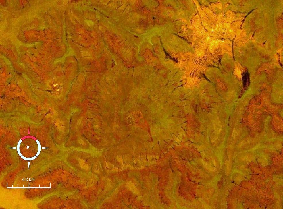
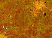 Landsat image of the Connolly Basin crater (circular feature in centre); screen capture from NASA World Wind
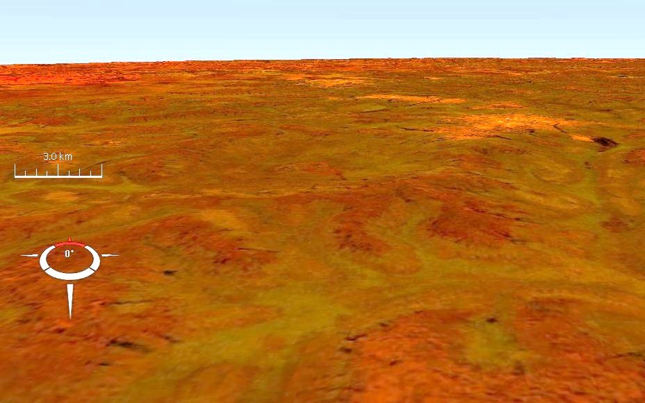
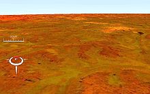 Oblique Landsat image draped over digital elevation data (x10 vertical exaggeration), Connolly Basin crater (circular depression in centre); screen capture from NASA World Wind
Connolly Basin is a 9 km-diameter impact crater located in the Gibson Desert of central Western Australia.[1] It lies adjacent to the Talawana Track 45 km west of the junction (Windy Corner) with the Gary Highway, but is difficult to access due to the remoteness of the area. Originally thought to be a diapir (salt dome), an impact origin was first proposed in 1985.[2],[3]
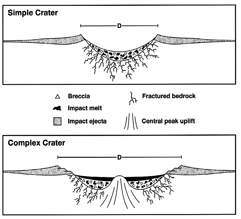
The depression has a topographic rim 25–30 m high, while the centre displays a slight circular rise about 1 km in diameter and 5 m high exposing strongly deformed and steeply dipping bedrock interpreted as a central uplift.[4],[5] Sedimentary rocks comprising the rim are of Early Cretaceous to Palaeogene age, while uplifted rocks in the centre are likely of Early Permian age, all part of the Canning Basin; the impact event itself is inferred to be of Paleocene (early Paleogene) age or later.[4],[5]
References
- ^ "Connolly Basin". Earth Impact Database. University of New Brunswick. http://www.passc.net/EarthImpactDatabase/connolly-basin.html. Retrieved 2009-08-19.
- ^ Shoemaker E.M. & Shoemaker C.S. 1985. Impact structures of Western Australia. 48th Annual Meeting of the Meteoritical Society, Abstracts. Meteoritics 20, 754-756.[1]
- ^ Shoemaker E.M. & Shoemaker C.S. 1986. Connolly Basin: a probable eroded impact crater in Western Australia. Lunar and Planetary Science Conference XVII, Abstracts, p. 797-798.[2]
- ^ a b Shoemaker E.M. & Shoemaker C.S. 1989. Geology of the Connolly Basin impact structure, Western Australia. In: Lunar and Planetary Science Conference XX, Abstracts p. 1008-1009.[3]
- ^ a b Shoemaker E.M., Plescia J.B., Shoemaker C.S. 2001. Connolly Basin Impact Structure, Western Australia. Lunar and Planetary Science Conference XXXII, Abstract no. 1311.PDF
Categories:- Earth Impact Database
- Impact craters of Australia
- Paleocene impact craters
- Geology of Western Australia
- Australian geology stubs
- Western Australia geography stubs

Wikimedia Foundation. 2010.