- Rocky River (Ohio)
Infobox_River
river_name = Rocky River (Ohio)
image_size =
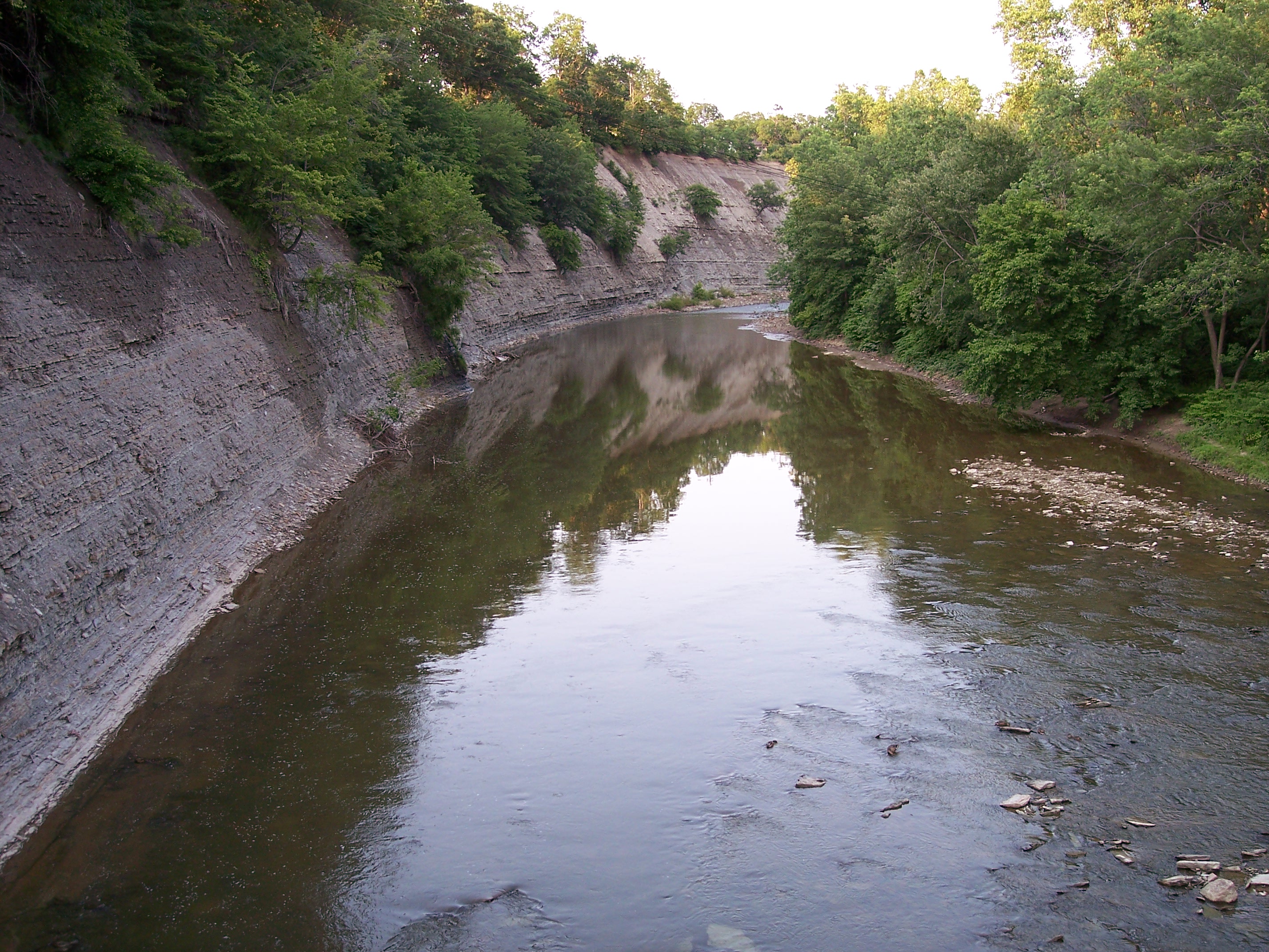
caption = Ashale cliff along the Rocky River in theCleveland Metroparks Rocky River Reservation on the boundary of the cities of Lakewood and Rocky River,Ohio
origin = coord|41|24|23|N|81|53|14|W|region:US-OH_type:river_source:GNIS|name=Rocky River (Ohio) source Cite gnis|1066928|Rocky River] Confluence of East Branch Rocky River and West Branch Rocky River, between Cleveland and North Olmsted, Cuyahoga County,Ohio
mouth = coord|41|29|28|N|81|50|21|W|region:US-OH_type:river_source:GNIS|display=inline,title|name=Rocky River (Ohio) mouthLake Erie between Lakewood and Rocky River, Cuyahoga County,Ohio
basin_countries = United States of America
length = convert|0|mi|km [Fact|date=June 2008]
elevation = Unit ft|657|1
mouth_elevation = Unit ft|571|1
discharge = convert|0|cuft|m3 per second at mouth [Fact|date=June 2008]
watershed = convert|0|sqmi|km2 [Fact|date=June 2008]The Rocky River [
United States Geological Survey Hydrological Unit Code: 04-11-00-01-Fact|date=June 2008] is a relatively shortriver which forms the western boundaries of the cities of Cleveland andLakewood, Ohio . The city of Rocky River, on the west bank bordering Lakewood, is named after the river.Watershed
The river itself is formed at the confluence of two tributaries; the western branch rises in southeast Lorain County and flows north through the town of Olmsted Falls. The eastern branch rises in the Cleveland suburb of North Royalton and flows northwest through Strongsville and Berea. The two branches converge at a point known as Cedar Point (unrelated to the theme park of the same name north of Sandusky), just west of
Cleveland-Hopkins International Airport .The Rocky River flows through a
V-shaped valley ; thevalley and the river are part of theCleveland Metroparks system. The valley is heavily forested, and aparkway along the river provides access to many different activities available in the park. Given the heavy population density of Cleveland and its oldersuburb s, many of which border on the valley, the valley provides a popular location for recreational activities that would be difficult in other parts of the city.Pollution
Unlike other rivers in
Northeast Ohio , the Rocky is largely free from industrialpollution and maintains a rustic character that is surprising, given its proximity to Cleveland and its suburbs. This is because most of its sources are in agricultural and suburban areas, which results in natural organic pollution and sewage, resulting in higher bacteria levels than rivers downstream from industrial discharges.Crossings and Tributaries
The Rocky River valley is quite deep from the confluence of the East and West Branches at Cedar Point downstream to
Lake Erie ,at times approaching Convert|150|ft|m|1 below the ground level on either side of the valley.This depth has required several high-level and low-levelbridge s to cross the valley between Lakewood and Rocky River and between Cleveland and Fairview Park.Several of the low-level bridges which cross the river within the valley are subject to closure and flooding during and after heavy storms,but these low-level bridges are mostly used by local traffic on the Valley Parkway which follows Rocky River's course, and crossing it several times.From North Mouth upstream to South Source:
See also
*
List of Ohio rivers References
External links
*Cite web
title=Rocky River Watershed Council
publisher=My Rocky River
url=http://www.myrockyriver.org/
format=HTML
Wikimedia Foundation. 2010.