- Sauk River (Washington)
-
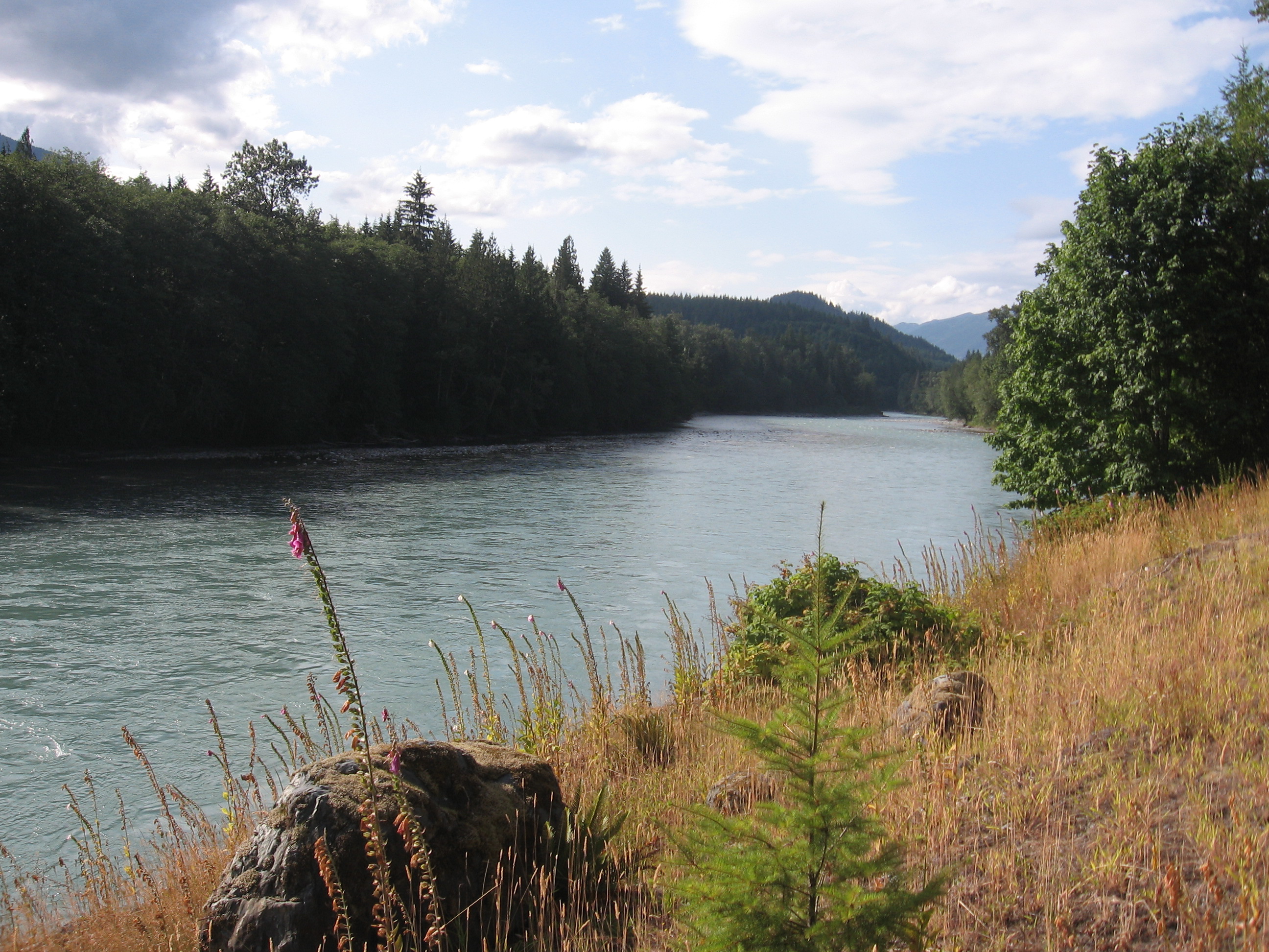
Sauk River  The Sauk River along SR530, north of Darrington, Washington.
Country United States State Washington County Skagit, Snohomish Source North Fork and South Fork confluence - location Cascade Range - elevation 1,204 ft (367 m) [1] - coordinates 48°5′59″N 121°23′28″W / 48.09972°N 121.39111°W [2] Mouth Skagit River - elevation 217 ft (66 m) [2] - coordinates 48°28′53″N 121°36′20″W / 48.48139°N 121.60556°W [2] Length 45 mi (72 km) Basin 714 sq mi (1,849 km2) [3] Discharge for USGS gage 12189500 near Sauk, WA - average 4,332 cu ft/s (123 m3/s) [3] - max 69,900 cu ft/s (1,979 m3/s) - min 578 cu ft/s (16 m3/s) 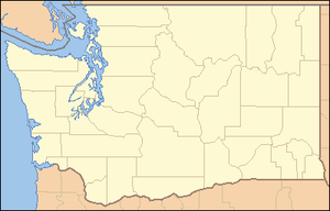
 Location of the mouth of the Sauk River in Washington
The Sauk River is a tributary of the Skagit River, approximately 45 miles (72 km) long, in northwestern Washington in the United States. It drains an area of the high Cascade Range in the watershed of Puget Sound north of Seattle. The river is a popular destination for fly fishing. It is a National Wild and Scenic River.[4]
Its two forks rise in the Cascades in eastern Snohomish County, in the Glacier Peak Wilderness and join to form the mainstem Sauk River at Bedal. From there the river flows northwest from there through a remote section of the Mount Baker-Snoqualmie National Forest to Darrington, then north to join the Skagit River from the south at Rockport. The Sauk River receives the Suiattle River from the east approximately 12 miles (19 km) south of Rockport and the White Chuck River just above Darrington. Another important tributary is Clear Creek, which joins the Sauk just above Darrington.
At Darrington the Sauk River comes so close to the head of the North Fork Stillaguamish River that boats used to portage across the divide.[5]
The name "Sauk" comes from the Sah-kee-ma-hu (Sauk-Suiattle tribe), a group related to the Skagit tribes, not from the Sauk tribe of the Midwestern U.S.[6]
Contents
South Fork
The South Fork Sauk River's headwaters flow from a glacier on the northwest side of Columbia Peak. The river flows generally northwest through Seventysix Gulch to Monte Cristo, where it is joined by Glacier Creek. The South Fork continues to flow northwest until it is joined by Weden Creek, where it turns north. It flows just east of Barlow Pass, after which it is paralleled by the Mountain Loop Highway. After several miles the river enters Monte Cristo Lake. A number of camping sites are located along the South Fork Sauk River north of Monte Cristo Lake. Near Bedal Campground the South Fork converges with the North Fork to form the mainstem Sauk River.[7]
A remarkably short and low divide, Barlow Pass, separates the South Fork Sauk River from Palmer Creek, a headwater tributary of the South Fork Stillaguamish River. The unusual geography, orientation, and size of these rivers and their valleys suggests that during the Pleistocene era the Sauk River flowed west through Barlow Pass into what it now the Stillaguamish valley.[5]
Tributaries
- Glacier Creek: Joins the South Fork at Monte Cristo.
- Weden Creek: Joins about 2.3 miles (3.7 km) downstream from Monte Cristo.
- Elliot Creek: Joins just downstream from the outlet of Monte Cristo Lake.
North Fork
The North Fork, the larger of the two forks, starts at the outlet of a small, unnamed lake opposite to Blue Lake near Johnson Mountain. It flows generally northwest for most of its length. Near its confluence with the South Fork it then turns west and rushes through a gorge in which it drops over the North Fork Falls, a powerful plunge at least 58 feet (18 m) high.[8][9] Shortly below it also drops over smaller Lower North Fork Falls.[8] The North Fork converges with the South Fork near Bedal Campground, forming the mainstem Sauk River.[10]
According to Fred Beckey the source of the North Fork could be equally considered to be its tributary Cadet Creek, which joins the North Fork via Sloan Creek.[5]
Tributaries
- Sloan Creek: Joins the North Fork about 2.1 miles (3.4 km) above Lost Creek.
- Cadet Creek: Flows from the northeast side of Monte Cristo Peak.
- Cougar Creek: Flows from Cougar Lake on the east side of Bedal Peak.
- Lost Creek: Joins about 3.5 miles (5.6 km) above the North Fork's mouth.
History
In 1890 prospectors exploring north from the Skykomish River basin made discoveries leading to the mining boom at Monte Cristo near the source of the North Fork Sauk River. The difficulty of access from the south led to the 1891 construction of a narrow wagon road along the Sauk River. The Sauk wagon road ran from Sauk City on the Skagit River to the mines at Monte Cristo. A key stop on this road was the trading post at Orient, at the forks of the Sauk River. Today this area is known as Bedal.[5] Today the Mountain Loop Highway follows part of the Sauk River more or less along the route of the old wagon road.
See also
- List of rivers in Washington
References
- ^ U.S. Geological Survey Geographic Names Information System: North Fork Sauk River
- ^ a b c U.S. Geological Survey Geographic Names Information System: Sauk River
- ^ a b "Water Resources Data-Washington Water Year 2005; Skagit River Basin". USGS. http://pubs.usgs.gov/wdr/2005/wdr-wa-05-1/pdf/wa00103ADR2005_Figure40.pdf. Retrieved 3 August 2009.
- ^ "Skagit Wild and Scenic River, Washington". The Wild & Scenic Rivers Council. http://www.rivers.gov/wsr-skagit.html. Retrieved 22 October 2011.
- ^ a b c d Beckey, Fred (2003). Cascade Alpine Guide: Climbing and High Routes: Stevens Pass to Rainy Pass (3rd ed.). The Mountaineers. pp. 23–25. ISBN 0-89886-423-2.
- ^ Phillips, James W. (1971). Washington State Place Names. University of Washington Press. ISBN 0-295-95158-3.
- ^ South Fork course information mainly acquired from USGS topographic maps accessed via U.S. Geological Survey Geographic Names Information System: South Fork Sauk River.
- ^ a b "North Fork Falls". Northwest Waterfall Survey. http://www.waterfallsnorthwest.com/nws/waterfall.php?num=277. Retrieved 2009-06-01.
- ^ "Snohoish County Waterfalls". Snohomish County Tourism Bureau. http://www.snohomish.org/index.php?page_id=512. Retrieved 2009-06-01.
- ^ North Fork course information mainly acquired from USGS topographic maps accessed via U.S. Geological Survey Geographic Names Information System: North Fork Sauk River and U.S. Geological Survey Geographic Names Information System: North Fork Falls.
Categories:- Rivers of Washington (state)
- North Cascades of Washington (state)
- Landforms of Skagit County, Washington
- Landforms of Snohomish County, Washington
- Wild and Scenic Rivers of the United States

Wikimedia Foundation. 2010.